Genoa River
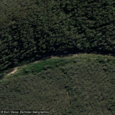
Genoa River
- Boat Ramps
- 1
- Access Points
- 0
- Campsites
- 1
The Genoa River originates in southern New South Wales and flows southward into Victoria, where it joins the Wallagaraugh River. Both rivers ultimately drain into Mallacoota Inlet before reaching Bass Strait at Mallacoota. Large portions of the catchment fall within public land, including state forests and national parks in both Victoria and New South Wales — among them Genoa National Park and Mt Imlay National Park near Eden.
The lower Genoa River offers a paddling run typically accessed from Wangarabell, approximately 20 kilometres north of Genoa township. Public access is available along the road near Wangarabell, and the take-out is near the bridge at Genoa township, where a small camping area on river left provides a convenient exit point. The access road is dirt but generally in good condition, though it has been known to close during heavy rainfall events, so checking road conditions before departure is advisable. The trip is roughly five hours from Canberra and under two hours from Bega.
The character of the lower run varies considerably along its length. The first few kilometres from the put-in are relatively flat and brushy, transitioning into a long series of boulder gardens. At moderate water levels, the most continuous line runs river right through a sequence of grade 2 rapids and drops extending several hundred metres. Below this, the river steepens into a shallow gorge section of roughly 300–400 metres featuring grade 3 paddling, which was run in three short sections on the reported trip. A portage of one initial short drop was necessary due to rocky conditions. Below the gorge, another long grade 2 rapid follows before the gradient eases, with some sections becoming scratchy at lower flows.
The trip is commonly done as an overnight run, with each paddle day taking around four hours. A first-time visitor is recommended to plan an overnighter to allow adequate time on the water. The run is also considered feasible as a long day trip for paddlers already familiar with the river. Winter trips are viable when water levels are sufficient, and summer is noted as a potentially good time when water conditions are right. Mallacoota Inlet, downstream, supports kayaking and canoeing alongside fishing and boating.
Water access, boat ramps & amenities
Learn how to get on Genoa River. Uncover great paddling access points, boat ramps, and all the facilities you need for an unforgettable day on the water. Some locations shown may border or include private property. Always check property boundaries and applicable regulations before visiting. PaddleWays's Public & Private Land layer can help you plan your access with confidence.
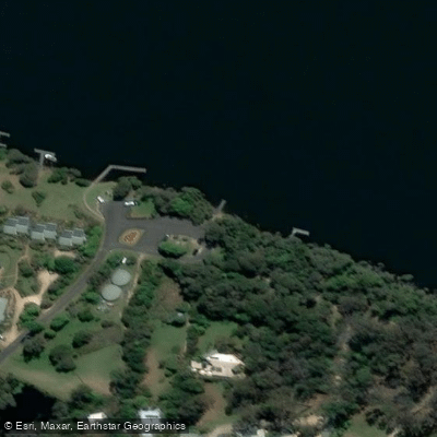
Paddle smarter with real-time insights
Whether you're en route and conditions shift or you're looking for the best spot based on current flows, we enable you to make informed decisions on the fly.








Find Places to Paddle

Over 400,000 Places to Paddle
Every user gets free access to launch points, boat ramps, and public property parcels.


Water and weather conditions (10 day forecast)
See the best times to paddle Genoa River and check the forecast before you go.
Genoa River @ Wangarabell
All Flow Stations
Paddling near Genoa River

Murrumbidgee River

Molonglo River

Queanbeyan River

Cotter River

Googong Reservoir

Shoalhaven River

Lake Burrinjuck

Goobagandra River

Eucumbene River

Lake Eucumbene
Explore Victoria waters
Top paddling waters
No waters available right now.
Popular Cities
Loading popular cities...
Explore near Genoa River

Smarter Paddling Starts in the App.
Paddleways gives you everything you need to plan smarter, paddle better, and own every trip from first launch to takeout.