Mallacoota Inlet
- Saltwater
- Estuary
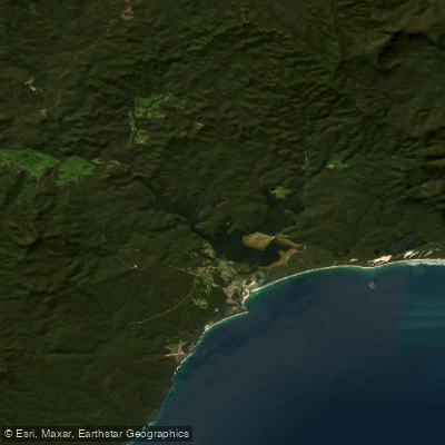
Mallacoota Inlet
- Saltwater
- Estuary
- Sq. miles
- 13
- Boat Ramps
- 3
- Access Points
- 0
- Campsites
- 0
Mallacoota Inlet is a large, sheltered coastal estuary system located within Croajingolong National Park. It consists of a larger Bottom Lake connected to a smaller Top Lake by a winding channel known as The Narrows, with numerous smaller arms and creeks branching off. The inlet is fed by the Genoa and Wallagaraugh Rivers and opens to the Southern Ocean. For paddlers, the environment offers a mix of glassy, protected inlets and more open lake expanses, with waterways lined with paperbarks and eucalyptus. The area is renowned for its abundant birdlife, including black swans, sea eagles, pelicans, cormorants, and migratory waders on features like the Goodwin Sands sandbank. Australian fur seals are occasional visitors to the Bottom Lake.
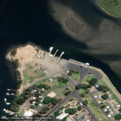
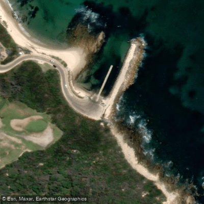
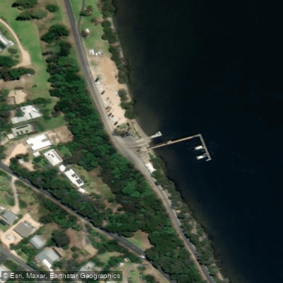
Primary launch points for kayaks, canoes, and SUPs include the Main Wharf, the lakeside boat ramps, and the foreshore area. Bastion Point provides a more sheltered launch area behind a breakwater. Many holiday accommodations also offer private water access. Key paddling routes recommended for exploration include Double Creek Arm for its overhanging trees and reflections, the narrow and winding channel of The Narrows connecting the upper and lower lakes, and the remote Gypsy Point further upstream. The shallow lake arms are areas that motorboats cannot easily access, offering quieter paddling.
Paddling conditions are generally calm and flatwater, perfect for beginners, though wind can change conditions quickly on the more open lake sections, so staying near shore is advised for inexperienced paddlers. The best times for paddling are early morning and golden hour for glassy water and optimal wildlife viewing. Sun protection is essential year-round. While boat traffic exists, the vast area offers plenty of space. There are no specific paddling restrictions mentioned, but the surrounding Cape Howe area is a designated wilderness zone with access restrictions for overnight hikes. Facilities for paddlers include multiple jetties and picnic areas around the lakeshore for breaks, and local businesses in town offer kayak, SUP, and boat hire.
Water access, boat ramps & amenities
Learn how to get on Mallacoota Inlet. Uncover great paddling access points, boat ramps, and all the facilities you need for an unforgettable day on the water. Some locations shown may border or include private property. Always check property boundaries and applicable regulations before visiting. PaddleWays's Public & Private Land layer can help you plan your access with confidence.
Paddle smarter with real-time insights
Whether you're en route and conditions shift or you're looking for the best spot based on current flows, we enable you to make informed decisions on the fly.








Find Places to Paddle

Over 400,000 Places to Paddle
Every user gets free access to launch points, boat ramps, and public property parcels.


Tides, wind & water conditions (10 day forecast)
On open water, wind and tide matter as much as the weather. See the best times to paddle Mallacoota Inlet and check the marine forecast before you launch.
Loading tide predictions…
Paddling near Mallacoota Inlet

Murrumbidgee River

Molonglo River

Queanbeyan River

Cotter River

Googong Reservoir

Shoalhaven River

Lake Burrinjuck

Goobagandra River

Eucumbene River

Lake Eucumbene
Explore Victoria waters
Top paddling waters
No waters available right now.
Popular Cities
Loading popular cities...
Explore near Mallacoota Inlet

Smarter Paddling Starts in the App.
Paddleways gives you everything you need to plan smarter, paddle better, and own every trip from first launch to takeout.