Wingan River
Wingan River
- Boat Ramps
- 0
- Access Points
- 0
- Campsites
- 2
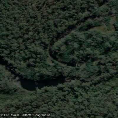
The Wingan River flows through Croajingolong National Park in far East Gippsland, Victoria, emptying into Wingan Inlet on the state's remote southeastern coast. The area sits within the Sandpatch Wilderness Zone and is reached via a roughly 50-minute drive along a dirt road off the Princes Highway, with the turn-off approximately 17 km from Cann River. The access road is rough and best suited to 4WD vehicles, though a robust 2WD can manage it. The launch point is a sandy beach at the end of West Wingan Road, adjacent to the Wingan Inlet Campground. When the tide is low, vehicles can be driven slowly onto the beach to unload; a parking area sits approximately 50 metres from the water for high-tide arrivals or 2WD vehicles.
Two main paddling directions are available from the launch. Heading upstream, the river winds approximately 4.5 km through sea rushes and paperbark thickets before opening into a littoral rainforest and reaching the Wingan Rapids — a rock bar of large granite boulders covered in lichen and moss that marks the effective limit of tidal influence. The round trip to the rapids and back covers approximately 9 km. Heading downstream, paddlers can explore the estuary toward the inlet mouth, a distance of about 2 km each way.
A notable safety consideration for overnight paddlers is tidal fluctuation: high tides have been known to float unsecured boats to other parts of the estuary, so tying boats to a post, log, or vegetation is strongly recommended. Wingan Inlet has a 20 hp motor size limit, making it well suited to human-powered craft. The best season for visiting is generally September through May, as winters are wet and cold.
Camping is available at the Wingan Inlet Campground, which has 23 sites set among tall bloodwood trees. Bookings must be made in advance through Parks Victoria, as there is no phone coverage at the site. Wildlife in the area includes water dragons, goannas, kookaburras, pelicans, oyster-catchers, currawongs, and a fur seal colony on rocky islands just off Fly Cove, accessible by foot from the campground. The river water is described as crystal clear, particularly around the rapids.
Water access, boat ramps & amenities
Learn how to get on Wingan River. Uncover great paddling access points, boat ramps, and all the facilities you need for an unforgettable day on the water. Some locations shown may border or include private property. Always check property boundaries and applicable regulations before visiting. PaddleWays's Public & Private Land layer can help you plan your access with confidence.
Paddle smarter with real-time insights
Whether you're en route and conditions shift or you're looking for the best spot based on current flows, we enable you to make informed decisions on the fly.








Find Places to Paddle

Over 400,000 Places to Paddle
Every user gets free access to launch points, boat ramps, and public property parcels.


Water and weather conditions (10 day forecast)
See the best times to paddle Wingan River and check the forecast before you go.
Wingan River @ Wingan Inlet National Park
All Flow Stations
Paddling near Wingan River

Murrumbidgee River

Molonglo River

Queanbeyan River

Cotter River

Googong Reservoir

Shoalhaven River

Lake Burrinjuck

Goobagandra River

Eucumbene River

Lake Eucumbene
Explore Victoria waters
Top paddling waters
No waters available right now.
Popular Cities
Loading popular cities...
Explore near Wingan River

Smarter Paddling Starts in the App.
Paddleways gives you everything you need to plan smarter, paddle better, and own every trip from first launch to takeout.