Bellanger Beach
- Saltwater
- Beach
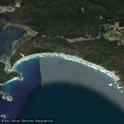
Bellanger Beach
- Saltwater
- Beach
- Sq. miles
- 1.1
- Boat Ramps
- 0
- Access Points
- 0
- Campsites
- 0
Bellanger Beach, also known as the Blue Holes, is located within Walpole-Nornalup National Park in the Shire of Denmark. Access to this beach requires a 4WD vehicle and an air compressor, as the tracks leading to it are soft black sugar sand. The final approach involves a walk of approximately 650 meters from a small parking area at the top of a track. The beach access is greatly affected by swell and tide, making it essential for paddlers to assess conditions before launching. The beach itself is part of a pristine coastal area with dramatic coastline and cliffs. The overall character is remote and natural, situated within a national park known for its giant karri and jarrah forests. From Bellanger Beach, paddlers can access the nearby Nornalup Inlet, a tranquil waterway fed by the Frankland and Deep rivers. The inlet offers a serene environment for paddling, though visitors should be wary of sand bars. The aesthetic is one of untouched forest meeting a dramatic coastline. The beach provides a launch point for exploring the surrounding coastline, including areas like Rame Head and Point Irwin, though coastal travel is dependent on prevailing swell and wind conditions. Facilities are extremely limited at the beach itself, with the nearest services available at Peaceful Bay, approximately 15 kilometers away, which has a store and cafe. The area is also a gateway to the Walpole Wilderness Area, offering many opportunities for land-based exploring.
Water access, boat ramps & amenities
Learn how to get on Bellanger Beach. Uncover great paddling access points, boat ramps, and all the facilities you need for an unforgettable day on the water. Some locations shown may border or include private property. Always check property boundaries and applicable regulations before visiting. PaddleWays's Public & Private Land layer can help you plan your access with confidence.
Paddle smarter with real-time insights
Whether you're en route and conditions shift or you're looking for the best spot based on current flows, we enable you to make informed decisions on the fly.







Western Australia licenses and regulations

Find Places to Paddle

Over 400,000 Places to Paddle
Every user gets free access to launch points, boat ramps, and public property parcels.


Tides, wind & water conditions (10 day forecast)
On open water, wind and tide matter as much as the weather. See the best times to paddle Bellanger Beach and check the marine forecast before you launch.
Loading tide predictions…
Paddling near Bellanger Beach
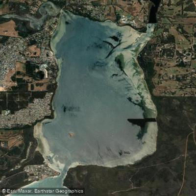
Oyster Harbour
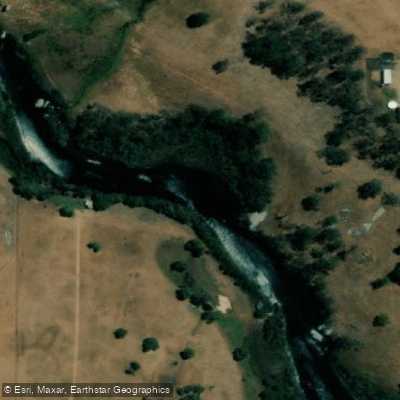
King River
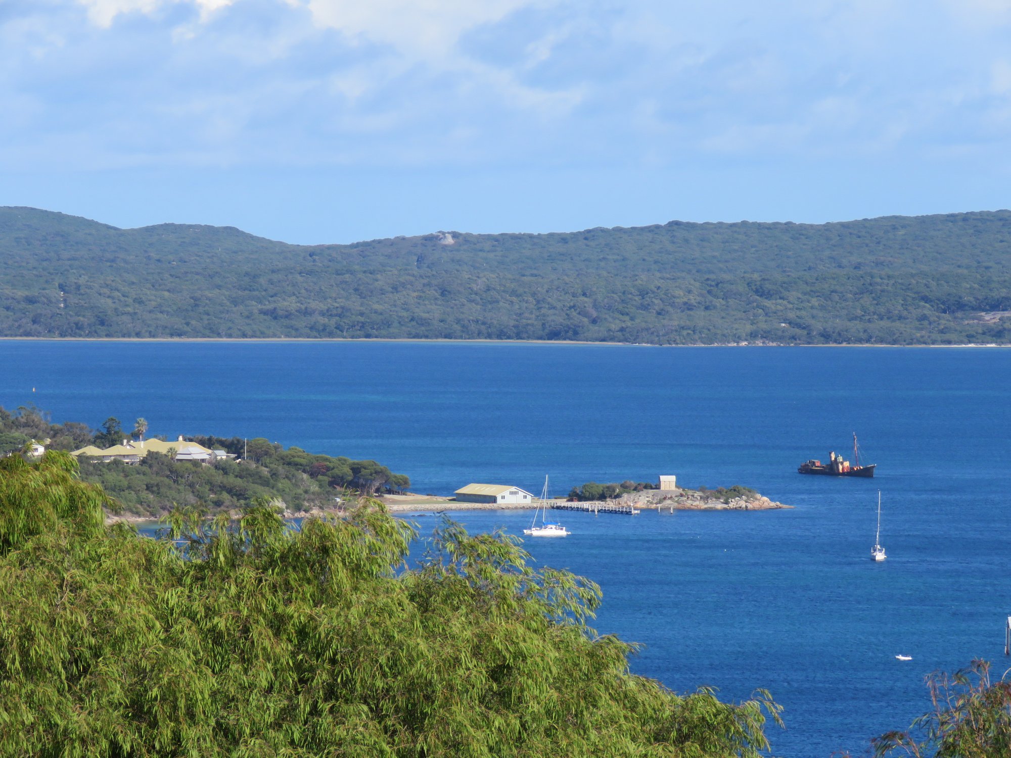
Princess Royal Harbour
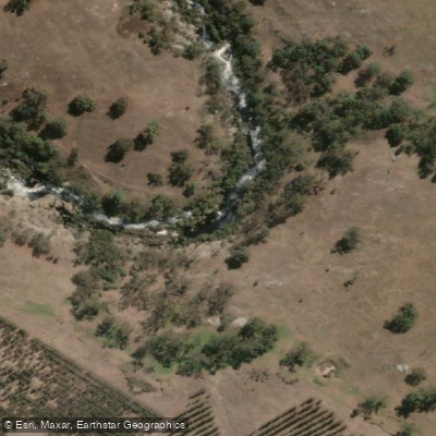
Kalgan River
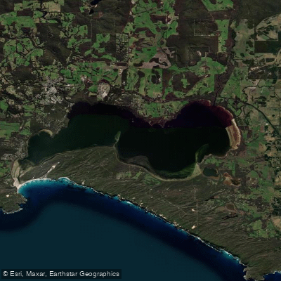
Wilson Inlet
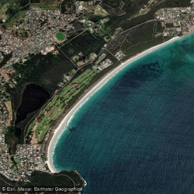
Middleton Beach
Hay River
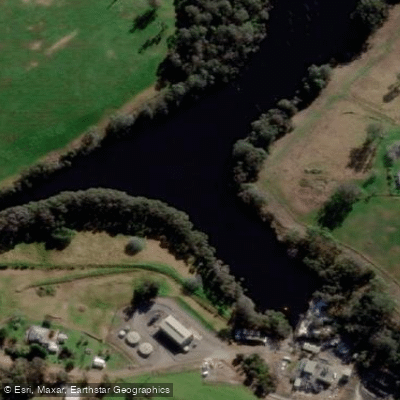
Denmark River
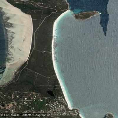
Goode Beach
Waychinicup River
Explore Western Australia waters
Top paddling waters
No waters available right now.
Popular Cities
Loading popular cities...
Explore near Bellanger Beach

Smarter Paddling Starts in the App.
Paddleways gives you everything you need to plan smarter, paddle better, and own every trip from first launch to takeout.