Broke Inlet
- Saltwater
- Estuary
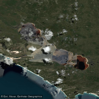
Broke Inlet
- Saltwater
- Estuary
- Sq. miles
- 19
- Boat Ramps
- 0
- Access Points
- 0
- Campsites
- 0
Broke Inlet is a large, pristine estuary located within D'Entrecasteaux National Park, approximately 40 kilometers west-northwest of Walpole in Western Australia. It is the only major estuary in the South-West region that has not been significantly altered by development, with the Shannon and Inlet rivers flowing into it. The inlet is linked to the Southern Ocean by a narrow, seasonally open channel that cuts through high sand dunes. This connection means the water can be nearly fresh before the sand bar breaks, allowing seawater to flow in, indicating significant tidal influence. Paddlers should be aware that the channel is narrow and seasonal, which can affect access to the open ocean and the conditions within the inlet. The area is remote, and visitors are advised to plan their trips carefully, considering the use of a personal location beacon for safety. There are no formal boat ramps or dedicated paddler facilities, but informal access for launching is possible along the edges of the inlet or from the shoreline near the sand dunes at the mouth. Camping is permitted along the inlet's edge or in the sand dunes, but there are no formal campsites or toilet facilities; visitors must be self-sufficient, carrying out all rubbish and managing waste responsibly. Campfires in containers or drums are generally permitted from April 15 to November 30, but restrictions can be imposed at any time. The Department of Biodiversity, Conservation and Attractions undertakes 1080 poison baiting in the area to control feral animals; these baits are dangerous to humans, domestic cats, and dogs, and pets are not permitted in the park. The inlet is a sheltered haven for birdlife, including pelicans and cormorants, with hooded plovers potentially spotted on the beaches. The overall character is one of a remote, unspoiled wilderness water body.
Water access, boat ramps & amenities
Learn how to get on Broke Inlet. Uncover great paddling access points, boat ramps, and all the facilities you need for an unforgettable day on the water. Some locations shown may border or include private property. Always check property boundaries and applicable regulations before visiting. PaddleWays's Public & Private Land layer can help you plan your access with confidence.
Paddle smarter with real-time insights
Whether you're en route and conditions shift or you're looking for the best spot based on current flows, we enable you to make informed decisions on the fly.







Western Australia licenses and regulations

Find Places to Paddle

Over 400,000 Places to Paddle
Every user gets free access to launch points, boat ramps, and public property parcels.


Tides, wind & water conditions (10 day forecast)
On open water, wind and tide matter as much as the weather. See the best times to paddle Broke Inlet and check the marine forecast before you launch.
Loading tide predictions…
Paddling near Broke Inlet
Oyster Harbour
King River
Princess Royal Harbour
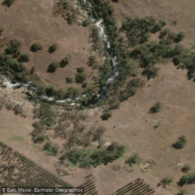
Kalgan River
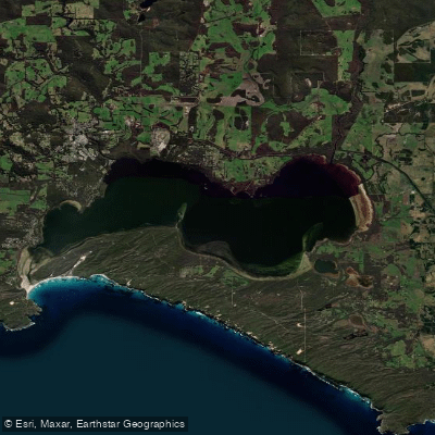
Wilson Inlet
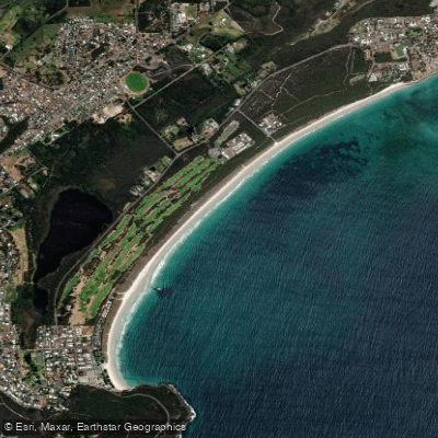
Middleton Beach
Hay River
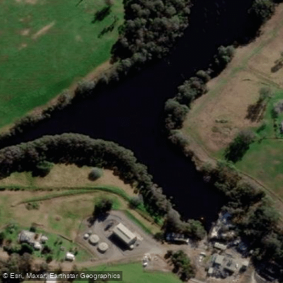
Denmark River
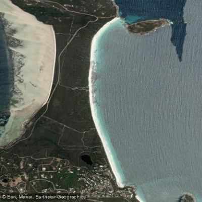
Goode Beach
Waychinicup River
Explore Western Australia waters
Top paddling waters
No waters available right now.
Popular Cities
Loading popular cities...
Explore near Broke Inlet

Smarter Paddling Starts in the App.
Paddleways gives you everything you need to plan smarter, paddle better, and own every trip from first launch to takeout.