Culham Inlet
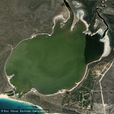
Culham Inlet
- Boat Ramps
- 0
- Access Points
- 0
- Campsites
- 0
Culham Inlet is a coastal salt lake and transient estuary located in the Goldfields-Esperance region of Western Australia, on the eastern flank of East Mount Barren within Fitzgerald River National Park, approximately 7 kilometres west of Hopetoun. It covers a total area of 11.3 square kilometres and is notably shallow, with a typical maximum depth of 2 metres, though a record depth of 4.5 metres has been recorded following exceptional rainfall. Two rivers, the Phillips and the Steere, discharge into the inlet.
The inlet is separated from the Southern Ocean by a dune bar 30 to 40 metres wide. This bar is almost always closed, meaning the inlet functions as a landlocked lagoon the vast majority of the time. Breaching of the bar has occurred only intermittently — naturally in 1849, 1872, 1919, 1993, 2000, 2016, and 2017, and artificially in 1920 — with each opening lasting approximately 3 to 4 weeks. Paddlers should be aware that the inlet's salinity and water character can shift significantly during and after these rare breaching events.
The water is described as calm and turquoise in appearance, consistent with its sheltered, landlocked nature. The inlet's wetlands are listed in the Directory of Important Wetlands in Australia, reflecting their ecological significance and the presence of diverse bird species, making the area of interest to wildlife observers on the water.
A boat launching area exists on the eastern foreshore, accessible via a steep, eroded slope that is currently only suitable for four-wheel-drive vehicles. A car turn-around bay is located at the top of the slope for those who choose not to descend. Signage at the launch site includes information on commercial and recreational fishing bag limits, a map of the river and inlet, and boat speed limit notices. Paddlers should note that vehicle access to the lagoon area adjacent to Hamersley Drive has been subject to access control measures including bollards.
The surrounding area offers a lookout on East Mount Barren with panoramic views across the inlet and toward the Southern Ocean, as well as walking tracks around the estuary. The nearest town, Hopetoun, is approximately 10 minutes by road and provides caravan park accommodation. The inlet sits within Fitzgerald River National Park, one of Australia's botanically significant protected areas.
Water access, boat ramps & amenities
Learn how to get on Culham Inlet. Uncover great paddling access points, boat ramps, and all the facilities you need for an unforgettable day on the water. Some locations shown may border or include private property. Always check property boundaries and applicable regulations before visiting. PaddleWays's Public & Private Land layer can help you plan your access with confidence.
Paddle smarter with real-time insights
Whether you're en route and conditions shift or you're looking for the best spot based on current flows, we enable you to make informed decisions on the fly.







Western Australia licenses and regulations

Find Places to Paddle

Over 400,000 Places to Paddle
Every user gets free access to launch points, boat ramps, and public property parcels.


Water and weather conditions (10 day forecast)
See the best times to paddle Culham Inlet and check the forecast before you go.
No forecast data available.
Paddling near Culham Inlet
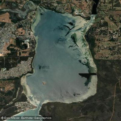
Oyster Harbour
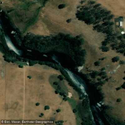
King River
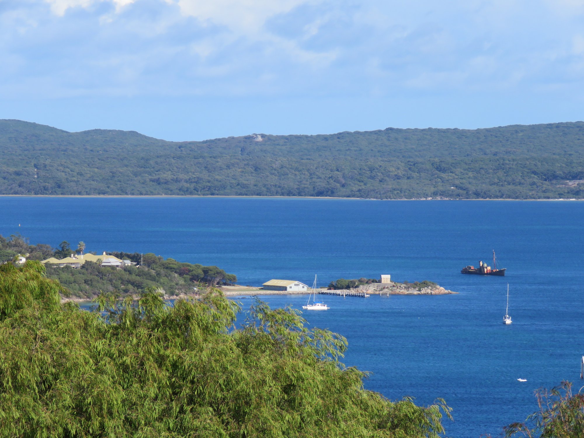
Princess Royal Harbour
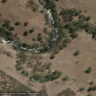
Kalgan River
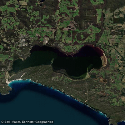
Wilson Inlet
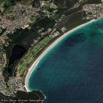
Middleton Beach
Hay River
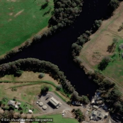
Denmark River
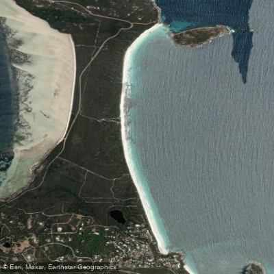
Goode Beach
Waychinicup River
Explore Western Australia waters
Top paddling waters
No waters available right now.
Popular Cities
Loading popular cities...
Explore near Culham Inlet

Smarter Paddling Starts in the App.
Paddleways gives you everything you need to plan smarter, paddle better, and own every trip from first launch to takeout.