Deep River
Deep River
- Boat Ramps
- 0
- Access Points
- 0
- Campsites
- 1
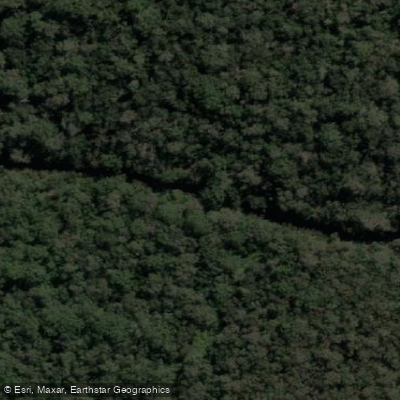
The Deep River flows through the Walpole Wilderness Area in Western Australia and offers a multi-day canoe journey that can be understood in three distinct sections. The uppermost reach, above Fernhook Falls, begins at the Weld Road crossing. This section covers roughly 13 kilometres as the crow flies but closer to 30 kilometres on the water, taking approximately three days to navigate through a granite-strewn valley. The river here is narrow and active, tumbling down cascades and rockslides between banks overhung by jarrah, marri and karri. As it approaches Fernhook Falls, the river widens and steadies noticeably.
Below Fernhook Falls, the river enters its middle character, with rapids continuing downstream. The last rapid on this stretch is located a few hundred metres upstream of the Centre Road crossing, near which the Easter Road crossing also serves as a notable waypoint. A shute upstream of the Easter Road crossing is one feature paddlers navigate through this section.
Below the Centre Road crossing, the river transitions into its lower reach, meandering across sandy coastal lowlands. Here it makes sharp turns against eroded banks, scouring around exposed tree roots. In low water conditions, logs settled on the riverbed can disrupt paddling lines considerably. Some low logs can be skidded over with sufficient speed, but paddlers should expect frequent portaging or wading in these conditions.
Late spring has been noted as a viable paddling season. The river flows toward the southern coast of Western Australia, and its overall length and character make it suited to multi-day canoe expeditions rather than short day trips, particularly for the upper and middle sections.
Water access, boat ramps & amenities
Learn how to get on Deep River. Uncover great paddling access points, boat ramps, and all the facilities you need for an unforgettable day on the water. Some locations shown may border or include private property. Always check property boundaries and applicable regulations before visiting. PaddleWays's Public & Private Land layer can help you plan your access with confidence.
Paddle smarter with real-time insights
Whether you're en route and conditions shift or you're looking for the best spot based on current flows, we enable you to make informed decisions on the fly.







Western Australia licenses and regulations

Find Places to Paddle

Over 400,000 Places to Paddle
Every user gets free access to launch points, boat ramps, and public property parcels.


Water and weather conditions (10 day forecast)
See the best times to paddle Deep River and check the forecast before you go.
Deep River - Teds Pool
Paddling near Deep River
Oyster Harbour
King River
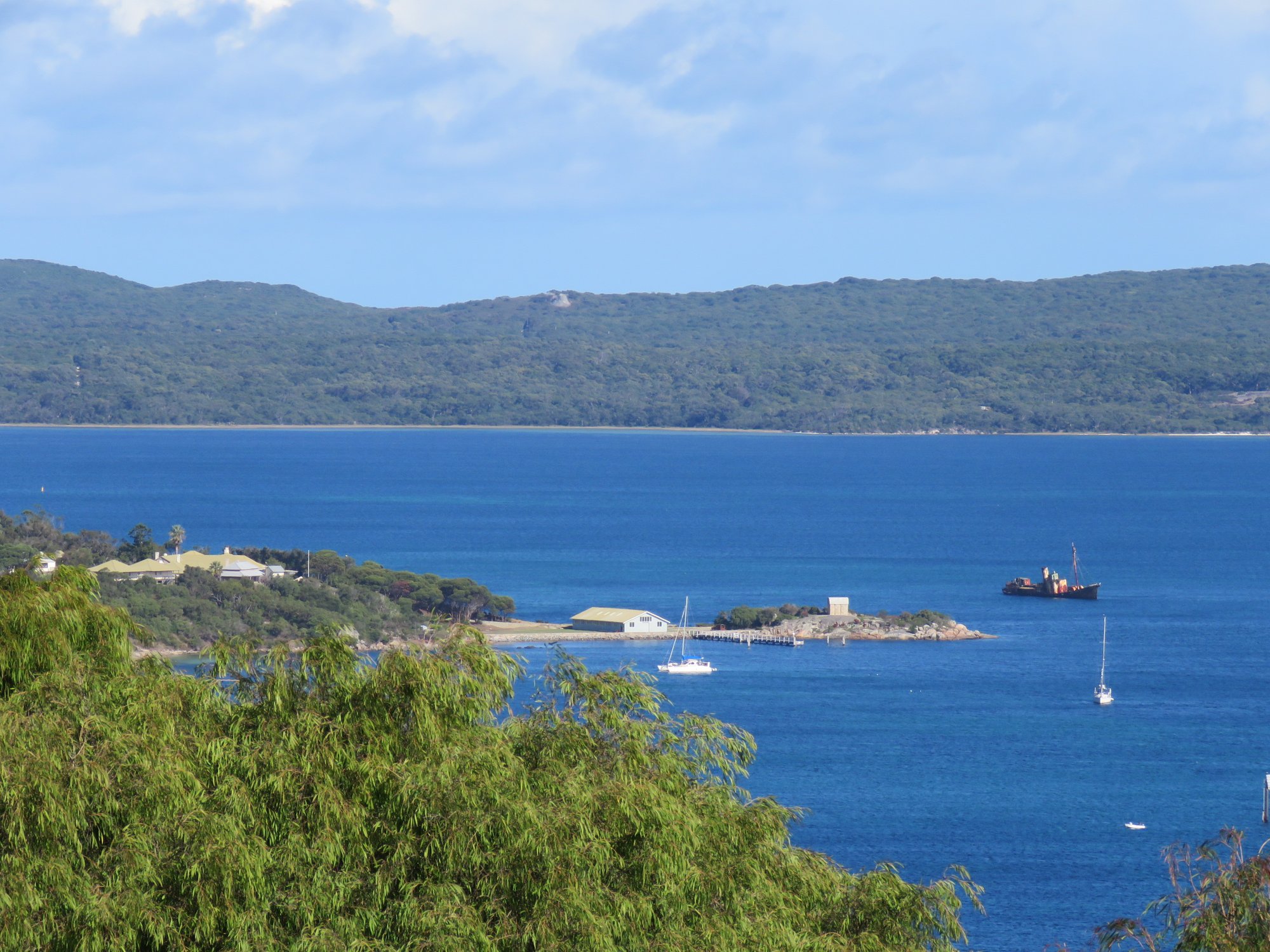
Princess Royal Harbour
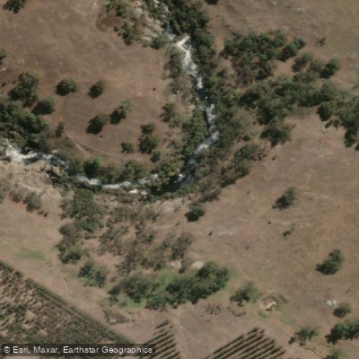
Kalgan River
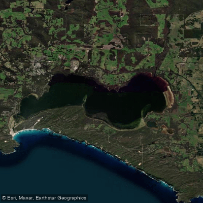
Wilson Inlet
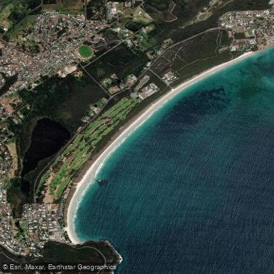
Middleton Beach
Hay River
Denmark River
Goode Beach
Waychinicup River
Explore Western Australia waters
Top paddling waters
No waters available right now.
Popular Cities
Loading popular cities...
Explore near Deep River
Access points
Nearby waters
More in Western Australia

Smarter Paddling Starts in the App.
Paddleways gives you everything you need to plan smarter, paddle better, and own every trip from first launch to takeout.