Fitzgerald Inlet
- Saltwater
- Estuary
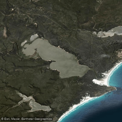
Fitzgerald Inlet
- Saltwater
- Estuary
- Sq. miles
- 4.4
- Boat Ramps
- 0
- Access Points
- 0
- Campsites
- 1
Fitzgerald Inlet is a secluded coastal estuary within Fitzgerald River National Park in Western Australia's Shire of Ravensthorpe. It is a saltwater feature characterized by a sandy mouth where it meets the Southern Ocean. The inlet is part of a remote coastal wilderness, accessible via the Mamang Trail which connects Point Ann to the inlet, a distance of 31 kilometers return. This trail crosses the sandy mouth of the inlet, indicating a shallow, potentially exposed bar area subject to ocean swell and tidal flow. There is a camping area at the inlet, though no water is available at this site. The park management plan notes support for the Ravensthorpe Shire in providing for boat launching, but specific launch facilities for paddlers, such as a formal boat ramp, are not detailed for the inlet itself. The Hopetoun boat ramp, a public concrete launching facility, is located in the nearby town but its direct utility for accessing Fitzgerald Inlet is not specified. Motorised access is generally restricted on tracks like the Fitzgerald Inlet track, suggesting a low-impact, semi-primitive environment. The overall paddling experience is one of isolation and natural immersion within a botanically significant national park known for rich biodiversity, wildflowers, and potential marine mammal sightings along the coastline. Paddlers must be entirely self-sufficient, carrying all water and supplies, and prepared for variable ocean conditions at the inlet mouth. The area is managed by the Department of Biodiversity, Conservation and Attractions, and standard National Park fees apply.
Water access, boat ramps & amenities
Learn how to get on Fitzgerald Inlet. Uncover great paddling access points, boat ramps, and all the facilities you need for an unforgettable day on the water. Some locations shown may border or include private property. Always check property boundaries and applicable regulations before visiting. PaddleWays's Public & Private Land layer can help you plan your access with confidence.
Paddle smarter with real-time insights
Whether you're en route and conditions shift or you're looking for the best spot based on current flows, we enable you to make informed decisions on the fly.







Western Australia licenses and regulations

Find Places to Paddle

Over 400,000 Places to Paddle
Every user gets free access to launch points, boat ramps, and public property parcels.


Tides, wind & water conditions (10 day forecast)
On open water, wind and tide matter as much as the weather. See the best times to paddle Fitzgerald Inlet and check the marine forecast before you launch.
Loading tide predictions…
Paddling near Fitzgerald Inlet
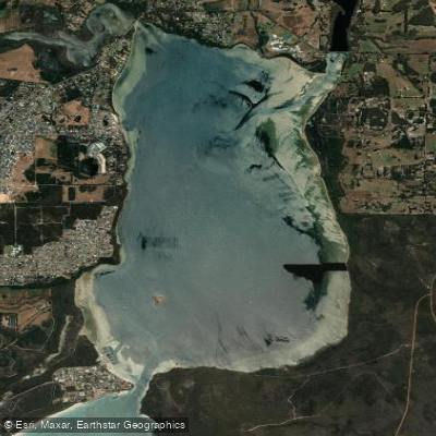
Oyster Harbour
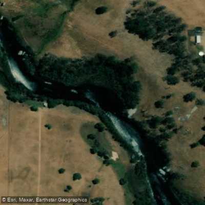
King River
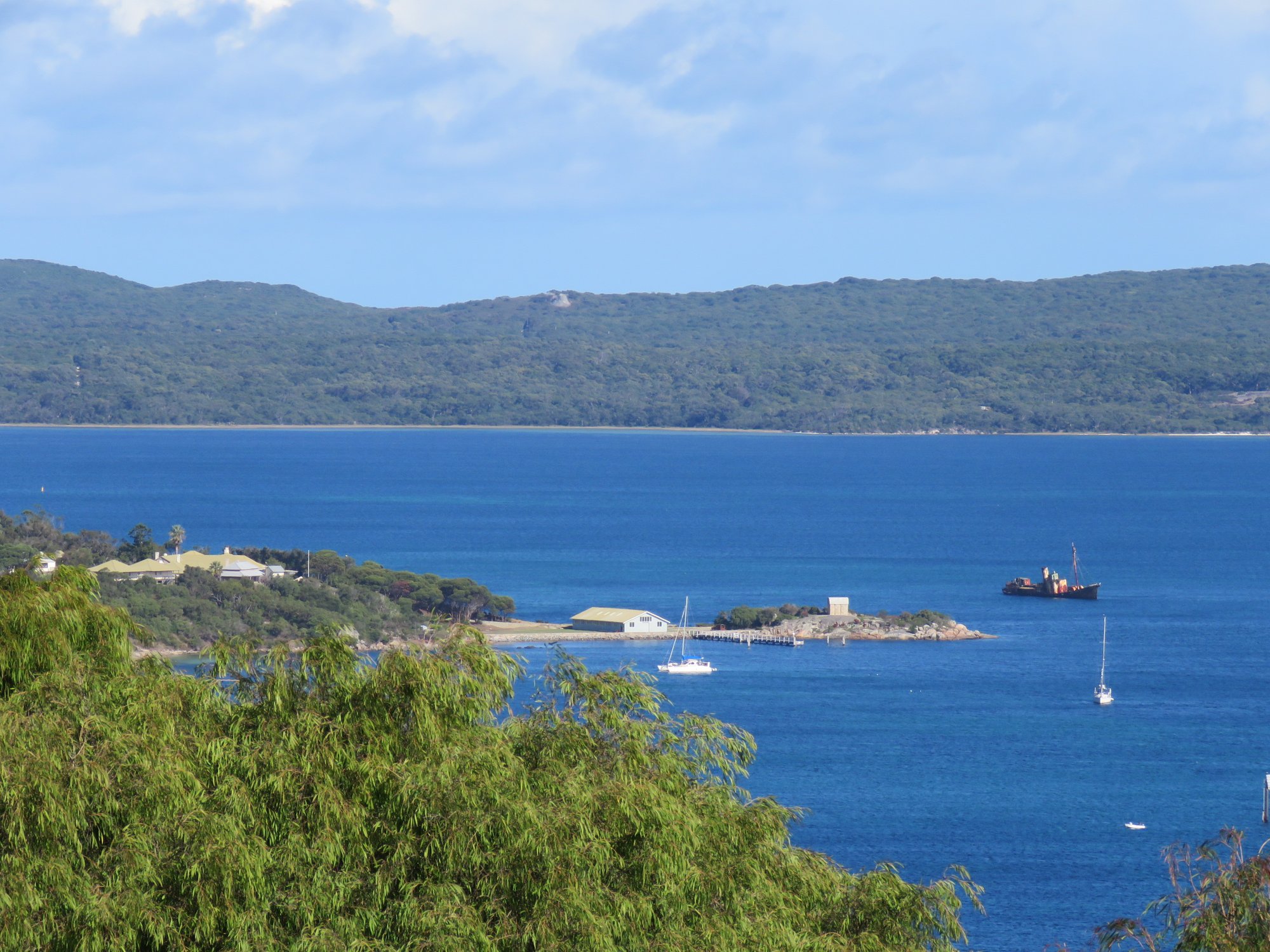
Princess Royal Harbour
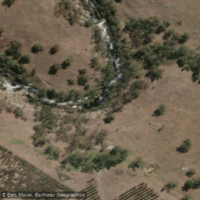
Kalgan River
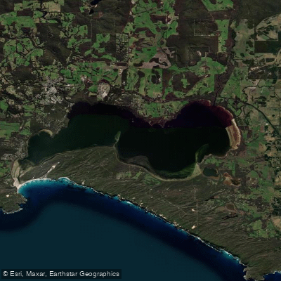
Wilson Inlet
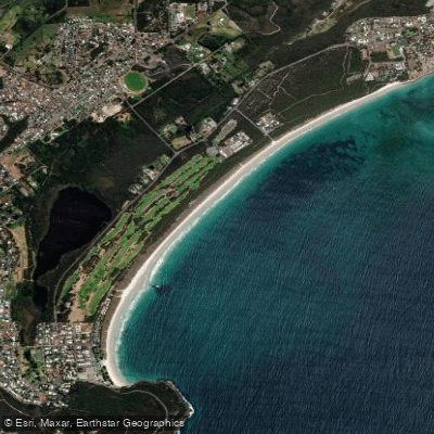
Middleton Beach
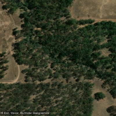
Hay River
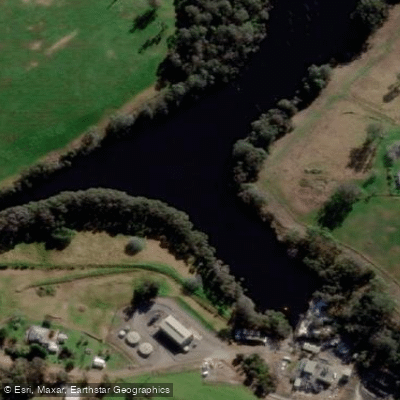
Denmark River
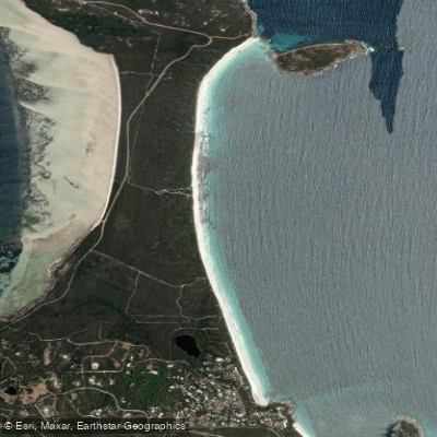
Goode Beach
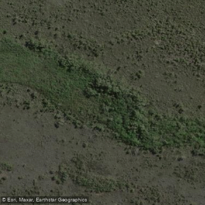
Waychinicup River
Explore Western Australia waters
Top paddling waters
No waters available right now.
Popular Cities
Loading popular cities...
Explore near Fitzgerald Inlet
Access points
Nearby waters
More in Western Australia

Smarter Paddling Starts in the App.
Paddleways gives you everything you need to plan smarter, paddle better, and own every trip from first launch to takeout.