Frankland River
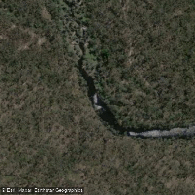
Frankland River
- Boat Ramps
- 0
- Access Points
- 0
- Campsites
- 3
The Frankland River is the eighth largest river by volume in Western Australia, flowing through the Walpole-Nornalup National Park before emptying into the Nornalup Inlet. The river passes through lush karri forests and offers a mix of tranquil stretches and more demanding whitewater sections, particularly during the wetter months. The lower reaches, where the river approaches the inlet, are characterized by low-lying areas of melaleucas and rushes that give way to towering karri trees as paddlers move upstream toward Nornalup.
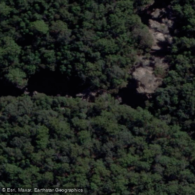
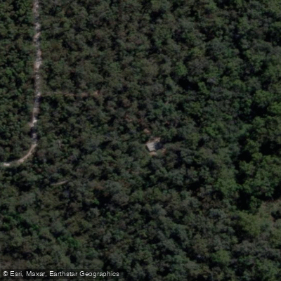
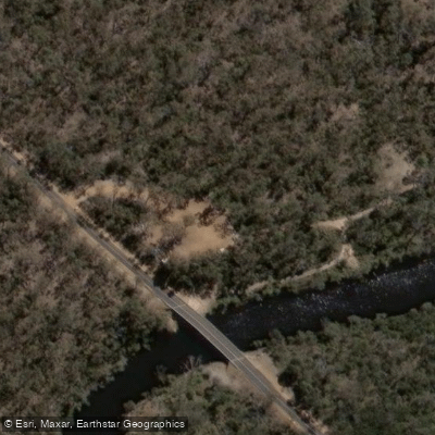
Two main access points serve paddlers on the lower river. At Nornalup, a dedicated Nornalup Canoe Launch provides easy water access approximately 10 kilometers from Walpole. Further upstream, Monastery Landing features a jetty accessible via South Coast Highway, Gulley Road, and then Monastery Road. Note that the road to Monastery Landing can be closed to vehicles during wet conditions. For those doing a longer run, the stretch from Bridge Road to the inlet boat ramp at Walpole covers roughly 28 kilometers and is typically done as an overnight trip.
The upper sections of the river, including the stretch from Mount Frankland down to Bridge Road and from Bridge Road to the inlet, carry a Class 3 rating and include several rapids that may require portaging. Some guidebooks advise against running these sections in Canadian canoes, and paddlers have noted that the rapids are best tackled at the end of winter and early spring when water levels are more favorable. Helmets are advisable on the rapids sections. The lower, tidal portion of the river, from Coalmine Beach on the Nornalup Inlet up to Nornalup, is considerably more straightforward and suitable for paddlers seeking a calmer experience.
The Frankland River and its tidal reaches fall within the Walpole and Nornalup Inlets Marine Park, so paddlers should be aware of any applicable marine park regulations. A boat ramp is also listed at Frankland township further upstream for those wishing to access the river from that point. Wildlife and birdwatching opportunities are present throughout the river corridor, and the surrounding Walpole-Nornalup National Park provides a backdrop of old-growth forest.
Water access, boat ramps & amenities
Learn how to get on Frankland River. Uncover great paddling access points, boat ramps, and all the facilities you need for an unforgettable day on the water. Some locations shown may border or include private property. Always check property boundaries and applicable regulations before visiting. PaddleWays's Public & Private Land layer can help you plan your access with confidence.
Paddle smarter with real-time insights
Whether you're en route and conditions shift or you're looking for the best spot based on current flows, we enable you to make informed decisions on the fly.







Western Australia licenses and regulations

Find Places to Paddle

Over 400,000 Places to Paddle
Every user gets free access to launch points, boat ramps, and public property parcels.


Water and weather conditions (10 day forecast)
See the best times to paddle Frankland River and check the forecast before you go.
Frankland River - Mount Frankland
All Flow Stations
Paddling near Frankland River
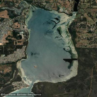
Oyster Harbour
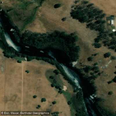
King River
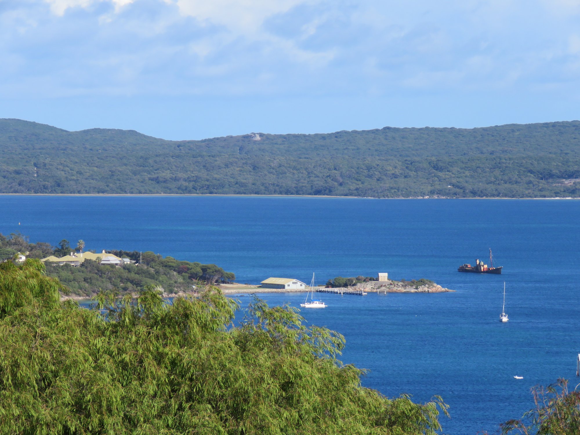
Princess Royal Harbour
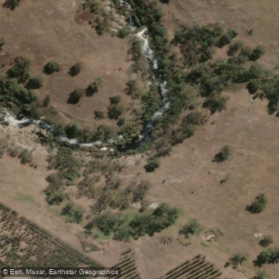
Kalgan River
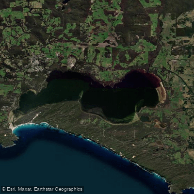
Wilson Inlet
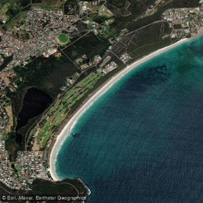
Middleton Beach
Hay River
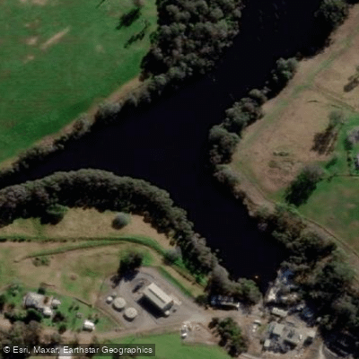
Denmark River
Goode Beach
Waychinicup River
Explore Western Australia waters
Top paddling waters
No waters available right now.
Popular Cities
Loading popular cities...
Explore near Frankland River

Smarter Paddling Starts in the App.
Paddleways gives you everything you need to plan smarter, paddle better, and own every trip from first launch to takeout.