Hamersley Inlet
- Saltwater
- Estuary
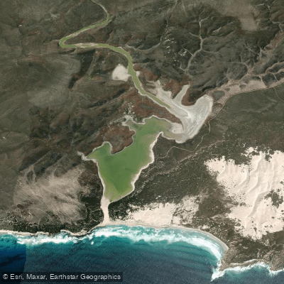
Hamersley Inlet
- Saltwater
- Estuary
- Sq. miles
- 1.2
- Boat Ramps
- 0
- Access Points
- 0
- Campsites
- 2
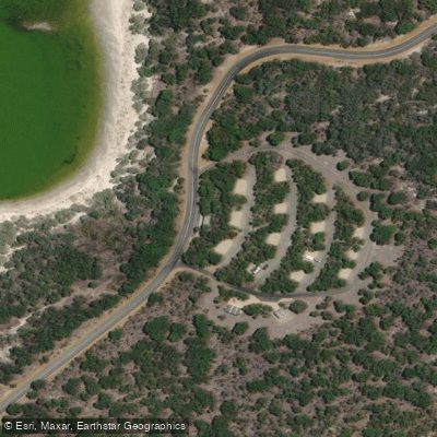
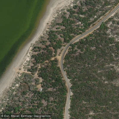
Hamersley Inlet is a narrow, winding saltwater estuary located within the Fitzgerald River National Park in Western Australia. It stretches approximately seven kilometres from a sandbar at its ocean mouth to a rock bar at its northern end, carved through a deep valley of schist and quartzite rock. The inlet is notably deep for its size, averaging around two metres, which helps it retain water and creates a stable environment. The primary and only confirmed launch and take-out point for paddlers is the Hamersley Inlet picnic area and campground on the inlet's eastern shore, accessible via Hamersley Drive. This site offers parking, a picnic area, and a barbecue facility. The area is a peaceful natural setting with eucalypt woodlands and paperbark thickets fringing the water. Paddling here is a leisurely activity suitable for kayaks. The inlet is known for its significant wildlife, including large gatherings of black swans and other waterbirds, with the peaks of the Whoogarup Range overlooking the scene. The coastline presents significant coast and cliff risks, and paddlers should be aware that the adjacent park is subject to an ongoing Western Shield baiting program using 1080 poison baits lethal to humans, cats, and dogs; pets are not permitted. The presence of a sandbar at the ocean mouth indicates a dynamic interface with the Southern Ocean, suggesting that conditions at the entrance can be influenced by swell and tide. Paddlers exploring near the mouth should be cautious of potential surf and changing conditions. A walking trail links the picnic area to Hamersley Beach, and the broader area is part of the Hakea coastal walk trail network.
Water access, boat ramps & amenities
Learn how to get on Hamersley Inlet. Uncover great paddling access points, boat ramps, and all the facilities you need for an unforgettable day on the water. Some locations shown may border or include private property. Always check property boundaries and applicable regulations before visiting. PaddleWays's Public & Private Land layer can help you plan your access with confidence.
Paddle smarter with real-time insights
Whether you're en route and conditions shift or you're looking for the best spot based on current flows, we enable you to make informed decisions on the fly.







Western Australia licenses and regulations

Find Places to Paddle

Over 400,000 Places to Paddle
Every user gets free access to launch points, boat ramps, and public property parcels.


Tides, wind & water conditions (10 day forecast)
On open water, wind and tide matter as much as the weather. See the best times to paddle Hamersley Inlet and check the marine forecast before you launch.
Loading tide predictions…
Paddling near Hamersley Inlet
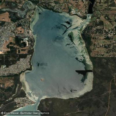
Oyster Harbour
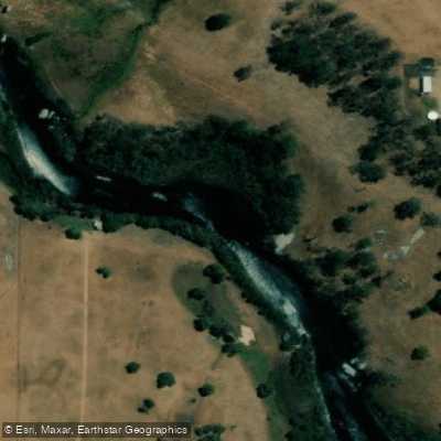
King River
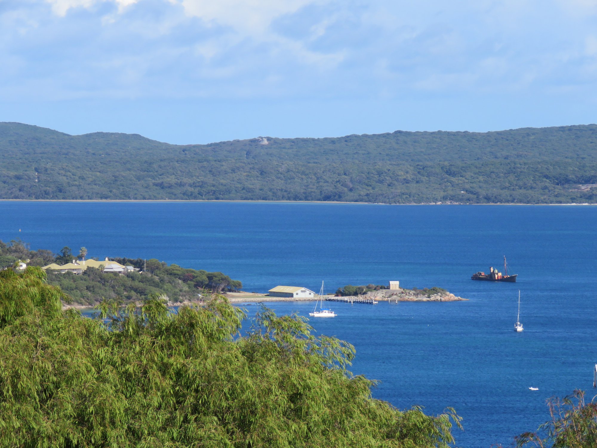
Princess Royal Harbour
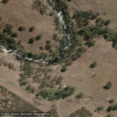
Kalgan River
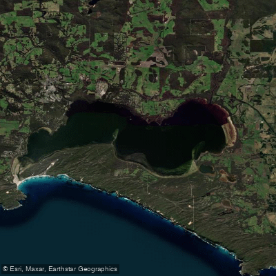
Wilson Inlet
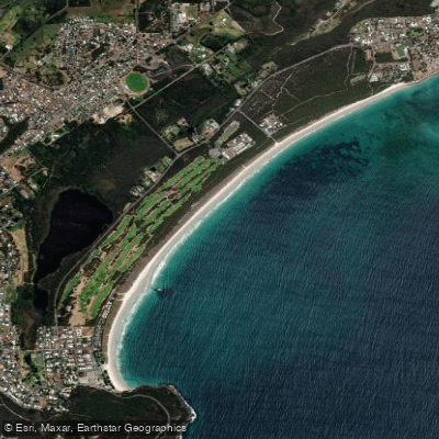
Middleton Beach
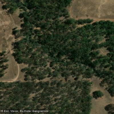
Hay River
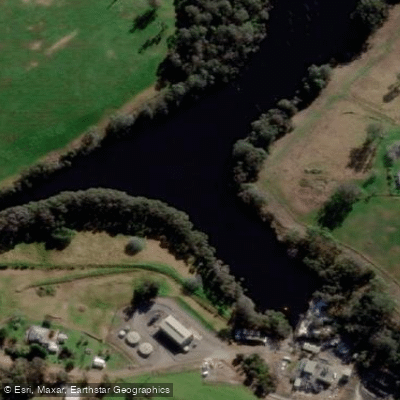
Denmark River
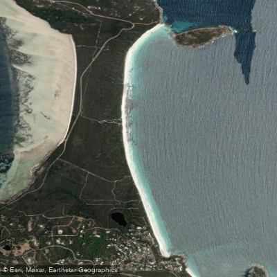
Goode Beach
Waychinicup River
Explore Western Australia waters
Top paddling waters
No waters available right now.
Popular Cities
Loading popular cities...
Explore near Hamersley Inlet
Access points
Nearby waters
More in Western Australia

Smarter Paddling Starts in the App.
Paddleways gives you everything you need to plan smarter, paddle better, and own every trip from first launch to takeout.