Irwin Inlet
- Saltwater
- Estuary
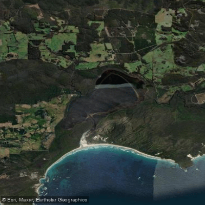
Irwin Inlet
- Saltwater
- Estuary
- Sq. miles
- 5.3
- Boat Ramps
- 0
- Access Points
- 0
- Campsites
- 0
Irwin Inlet is a coastal estuary located in the Shire of Denmark, Western Australia. It discharges into the Southern Ocean at Peaceful Bay, where its swift flow carves through sandbars, splitting the beach in two. This ocean entrance creates a dynamic environment with a surf zone, and paddlers should be aware of the strong tidal currents where the inlet meets the sea. The inlet is accessible for launching from several points. There is a boat ramp at Conspicuous Cliff, and private jetties are available for guests at rental properties like the Peacehaven Chalet and Shack in the Bow Bridge area, which also provide canoes or SUP boards for exploring. The Bibbulmun Track hiking trail crosses the inlet via a dedicated canoe service; a boatshed on the western bank contains three canoes for a 150-meter crossing to the eastern shore, a system maintained for walkers that indicates calm water conditions are possible in that upper section.
The overall character is one of scenic tranquility, with views over the water to forested shores. The area is known for abundant birdlife. The inlet is flanked by coastal heathlands and grasslands in some areas. Given its connection to the Southern Ocean, paddlers must plan for wind exposure and fetch, particularly on the lower inlet approaching Peaceful Bay. Tidal currents are a significant factor, especially near the mouth where the flow is swift. There is some boat traffic, as indicated by the presence of a boat ramp. The best conditions for paddling are likely during calmer weather, avoiding periods of strong onshore winds which can create challenging waves at the entrance and choppy conditions within the inlet. The water is saltwater, and the surrounding landscape includes the Walpole Wilderness Area with its tall forests.
Water access, boat ramps & amenities
Learn how to get on Irwin Inlet. Uncover great paddling access points, boat ramps, and all the facilities you need for an unforgettable day on the water. Some locations shown may border or include private property. Always check property boundaries and applicable regulations before visiting. PaddleWays's Public & Private Land layer can help you plan your access with confidence.
Paddle smarter with real-time insights
Whether you're en route and conditions shift or you're looking for the best spot based on current flows, we enable you to make informed decisions on the fly.







Western Australia licenses and regulations

Find Places to Paddle

Over 400,000 Places to Paddle
Every user gets free access to launch points, boat ramps, and public property parcels.


Tides, wind & water conditions (10 day forecast)
On open water, wind and tide matter as much as the weather. See the best times to paddle Irwin Inlet and check the marine forecast before you launch.
Loading tide predictions…
Paddling near Irwin Inlet
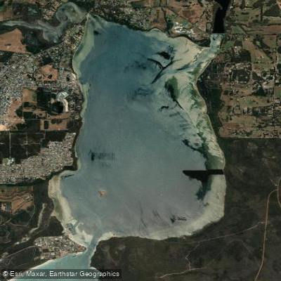
Oyster Harbour
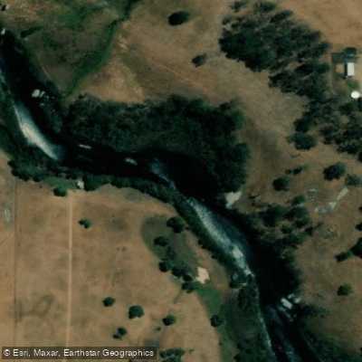
King River
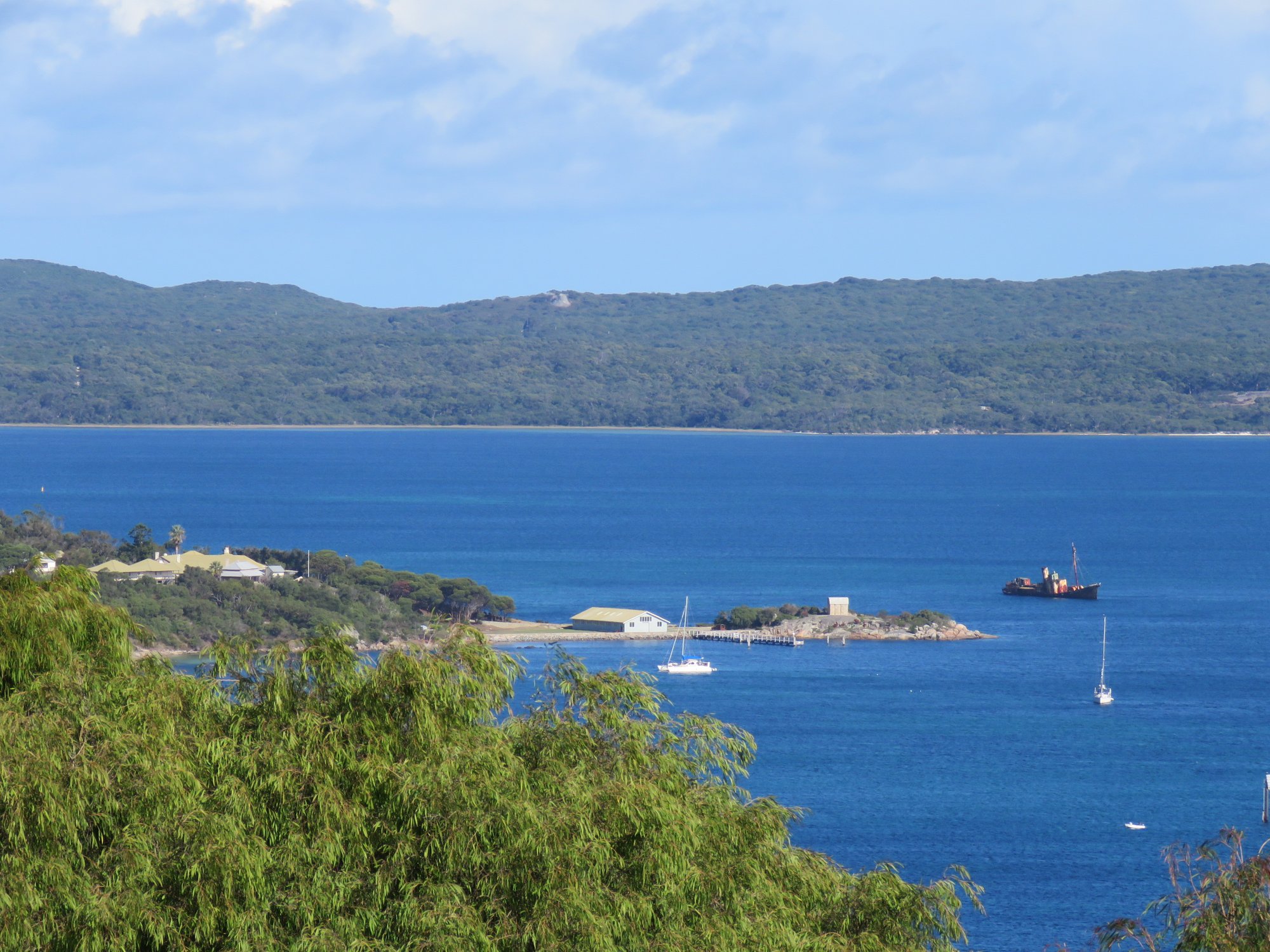
Princess Royal Harbour
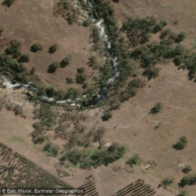
Kalgan River
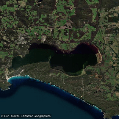
Wilson Inlet
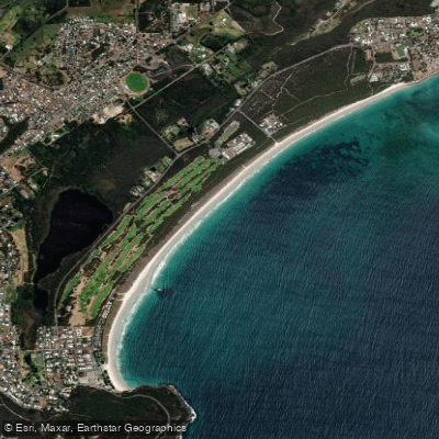
Middleton Beach
Hay River
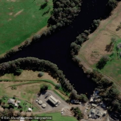
Denmark River
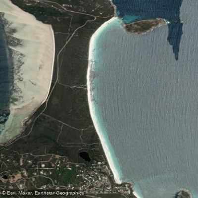
Goode Beach
Waychinicup River
Explore Western Australia waters
Top paddling waters
No waters available right now.
Popular Cities
Loading popular cities...
Explore near Irwin Inlet

Smarter Paddling Starts in the App.
Paddleways gives you everything you need to plan smarter, paddle better, and own every trip from first launch to takeout.