Stokes Inlet
- Saltwater
- Estuary
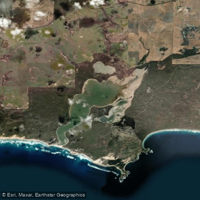
Stokes Inlet
- Saltwater
- Estuary
- Sq. miles
- 5.1
- Boat Ramps
- 0
- Access Points
- 0
- Campsites
- 1
Stokes Inlet is a large coastal estuary located approximately 80 to 90 kilometres west of Esperance within Stokes National Park. It is the largest estuary in the Esperance region and is noted for having reasonably deep water, fed by the Young and Lort rivers. The primary and most accessible launch point for paddlers is the boat ramp at the Benwenerup Campground, which is suitable for two-wheel drive vehicles and is explicitly mentioned for launching canoes and kayaks. This campground area provides facilities including a camp kitchen, toilets, and a lookout deck. The eastern side of the inlet, featuring areas like Fanny Cove and the historical Moir Homestead ruins, is accessible only by four-wheel drive vehicles or by crossing the inlet by boat, indicating potential remote take-out points for longer trips. The estuary is often closed to the sea by a sandbar, a common trait for the area, which can affect tidal exchange. The water body is surrounded by bushland and fringed with shady paperbark trees, creating a scenic, natural environment. The park is known for abundant birdlife, with over 40 species recorded, including waterbirds like black swans, pelicans, and various cormorants. Wildlife hazards include tiger snakes, which are often found in areas fringing the estuary. The entire national park is subject to 1080 poison baiting programs for feral animal control; these baits are lethal to domestic dogs and cats, and pets are not permitted in the park. There are no open fires permitted within the national park. Mobile phone reception is not guaranteed, and visitors are advised to be self-sufficient and inform others of their plans. The Stokes Heritage Walk Trail, a 2.8-kilometre one-way track, connects the day-use area to the Benwenerup Campground, offering an alternative way to explore the shoreline.
Water access, boat ramps & amenities
Learn how to get on Stokes Inlet. Uncover great paddling access points, boat ramps, and all the facilities you need for an unforgettable day on the water. Some locations shown may border or include private property. Always check property boundaries and applicable regulations before visiting. PaddleWays's Public & Private Land layer can help you plan your access with confidence.
Paddle smarter with real-time insights
Whether you're en route and conditions shift or you're looking for the best spot based on current flows, we enable you to make informed decisions on the fly.







Western Australia licenses and regulations

Find Places to Paddle

Over 400,000 Places to Paddle
Every user gets free access to launch points, boat ramps, and public property parcels.


Tides, wind & water conditions (10 day forecast)
On open water, wind and tide matter as much as the weather. See the best times to paddle Stokes Inlet and check the marine forecast before you launch.
Loading tide predictions…
Paddling near Stokes Inlet
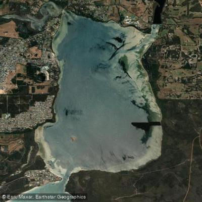
Oyster Harbour
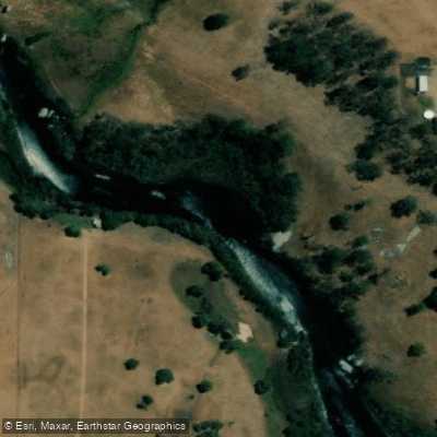
King River
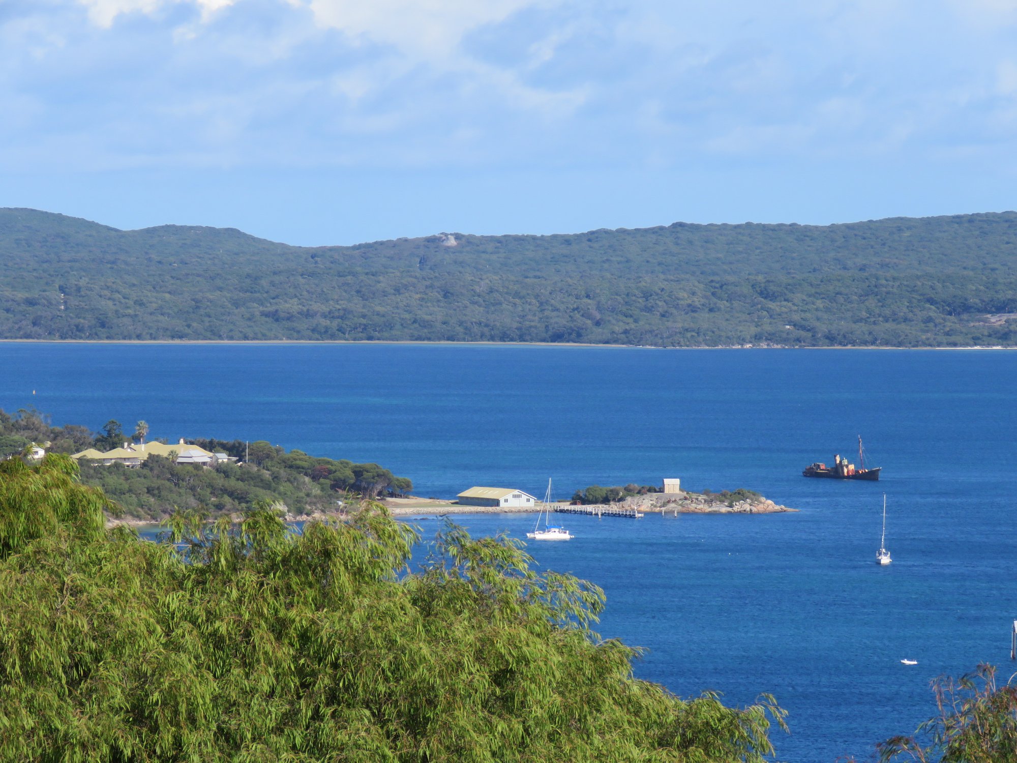
Princess Royal Harbour
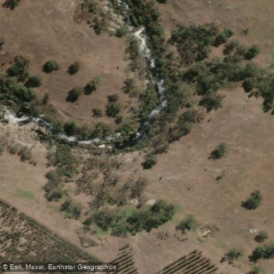
Kalgan River
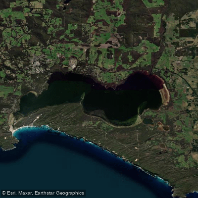
Wilson Inlet
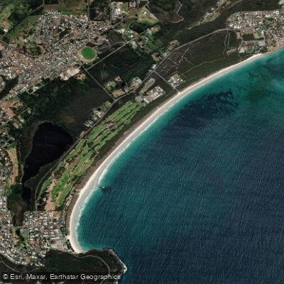
Middleton Beach
Hay River
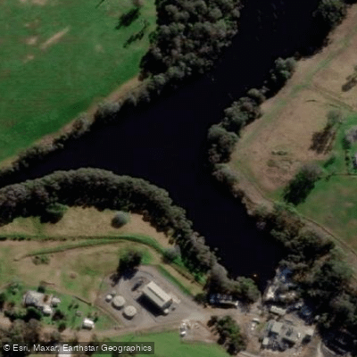
Denmark River
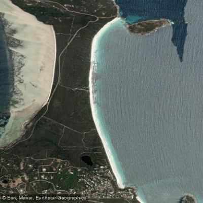
Goode Beach
Waychinicup River
Explore Western Australia waters
Top paddling waters
No waters available right now.
Popular Cities
Loading popular cities...
Explore near Stokes Inlet

Smarter Paddling Starts in the App.
Paddleways gives you everything you need to plan smarter, paddle better, and own every trip from first launch to takeout.