Torradup River
- Saltwater
- Estuary
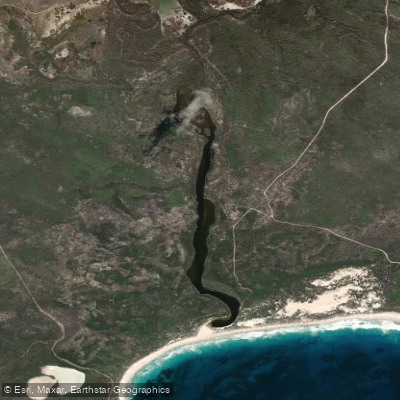
Torradup River
- Saltwater
- Estuary
- Sq. miles
- 0.2
- Boat Ramps
- 0
- Access Points
- 0
- Campsites
- 0
The Torradup River is a small, riverine estuary located within Stokes National Park on the south coast of Western Australia. It feeds into Torradup Inlet, which is the most easterly of the South Coast's riverine estuaries and is approximately 3.5 kilometers long. The estuary is a coastal feature where the river meets the Southern Ocean. A significant characteristic for paddlers is the dynamic sandbar at the river entrance; this bar opens regularly for short periods, and waves are present, indicating a surf zone that must be navigated to enter or exit the open ocean. The inlet leads into Margaret Cove. Access to the general area for viewing the inlet is via tracks off Springdale Road, but specific, designated boat launch facilities for paddlers are not detailed. The surrounding area is part of a national park, implying that general park regulations apply, but no specific restrictions on paddling are stated. The landscape is coastal, with access points involving tracks through dunes to reach beaches, suggesting a remote and natural setting. The combination of the estuarine environment within a national park and the ocean entrance with a variable bar creates a paddling experience suited for those comfortable with coastal conditions, including potential surf and variable access dependent on tidal and sandbar state.
Water access, boat ramps & amenities
Learn how to get on Torradup River. Uncover great paddling access points, boat ramps, and all the facilities you need for an unforgettable day on the water. Some locations shown may border or include private property. Always check property boundaries and applicable regulations before visiting. PaddleWays's Public & Private Land layer can help you plan your access with confidence.
Paddle smarter with real-time insights
Whether you're en route and conditions shift or you're looking for the best spot based on current flows, we enable you to make informed decisions on the fly.







Western Australia licenses and regulations

Find Places to Paddle

Over 400,000 Places to Paddle
Every user gets free access to launch points, boat ramps, and public property parcels.


Tides, wind & water conditions (10 day forecast)
On open water, wind and tide matter as much as the weather. See the best times to paddle Torradup River and check the marine forecast before you launch.
Loading tide predictions…
Paddling near Torradup River
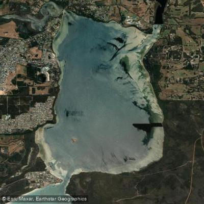
Oyster Harbour
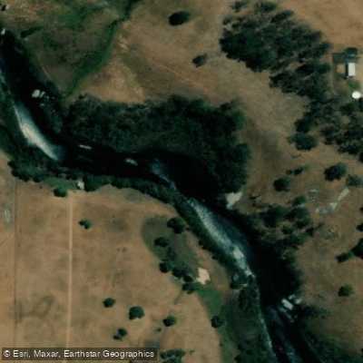
King River
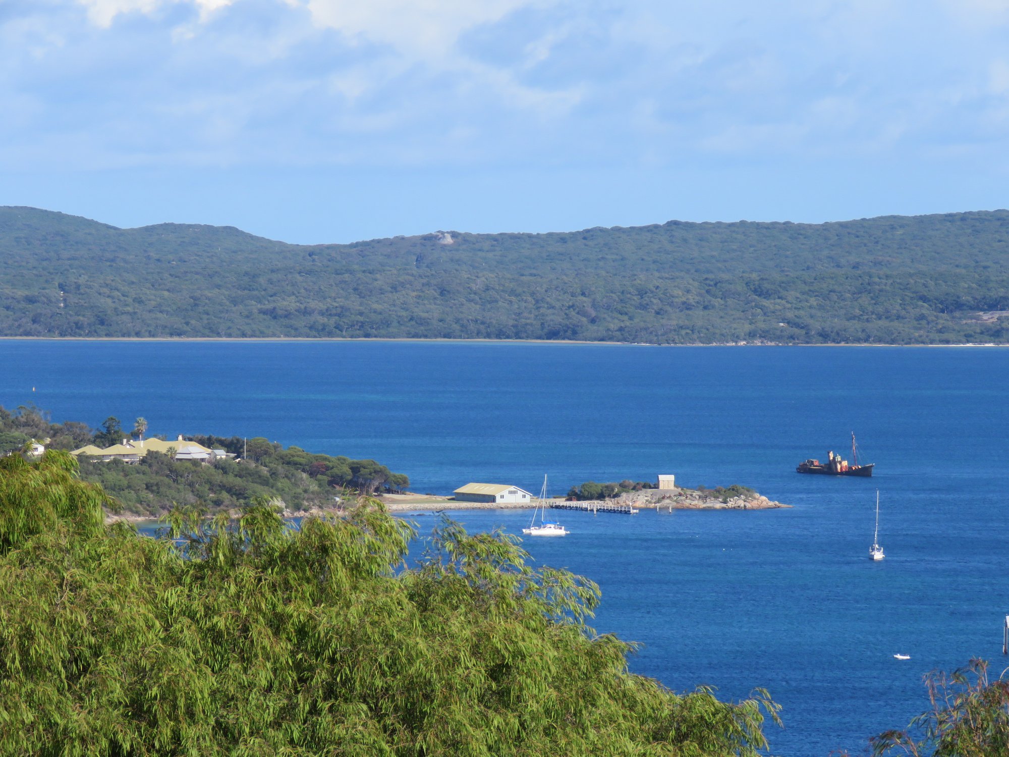
Princess Royal Harbour
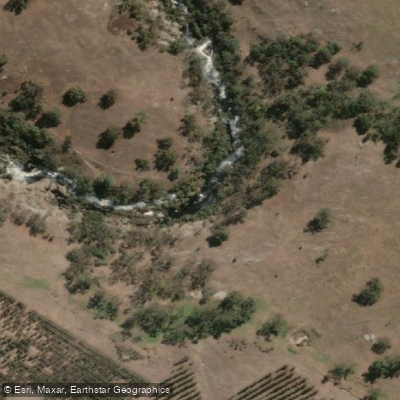
Kalgan River
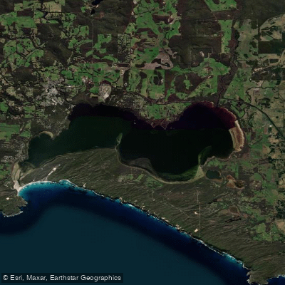
Wilson Inlet
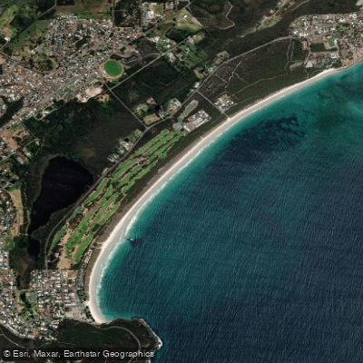
Middleton Beach
Hay River
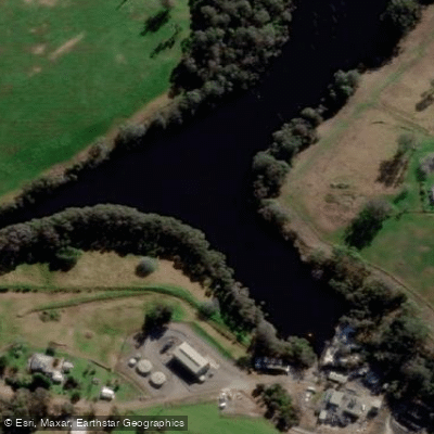
Denmark River
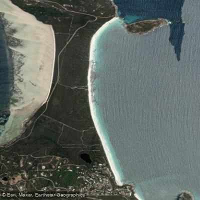
Goode Beach
Waychinicup River
Explore Western Australia waters
Top paddling waters
No waters available right now.
Popular Cities
Loading popular cities...
Explore near Torradup River

Smarter Paddling Starts in the App.
Paddleways gives you everything you need to plan smarter, paddle better, and own every trip from first launch to takeout.