Wellstead Estuary
- Saltwater
- Estuary
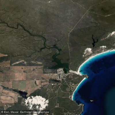
Wellstead Estuary
- Saltwater
- Estuary
- Sq. miles
- 2.3
- Boat Ramps
- 0
- Access Points
- 0
- Campsites
- 0
The Wellstead Estuary is a 13-kilometer long coastal estuary located near Bremer Bay. It is fed by the Bremer River and is a significant aquatic habitat, tranquil and expansive. The estuary is ideal for kayaking and paddleboarding. A designated Wellstead Estuary Walk Trail exists along its perimeter, indicating potential for shore-based access. The estuary's connection to the ocean is intermittent; it breaks through a sand bar to the sea, which can influence conditions. The main Bremer Beach lies on the opposite side of this estuary mouth, accessible via the sand bar at certain times or by a 45-minute drive when it is closed. This suggests the estuary mouth area could be dynamic, with potential for a surf zone or strong currents when open. The overall paddling experience is likely calm and scenic, focused on wildlife observation. The estuary is home to over 100 species of birds and is a major feeding ground for migratory birds on the East Asian Australasian flyway from September through April. It also supports fish, crustaceans, and shellfish. The water body can experience significant seasonal variation; the lagoons within the system are often dry in summer and only fill after heavy winter rains. Facilities such as BBQs, toilets, and outdoor showers are available at nearby Paperbark Park, which is a short walk from John Cove beach.
Water access, boat ramps & amenities
Learn how to get on Wellstead Estuary. Uncover great paddling access points, boat ramps, and all the facilities you need for an unforgettable day on the water. Some locations shown may border or include private property. Always check property boundaries and applicable regulations before visiting. PaddleWays's Public & Private Land layer can help you plan your access with confidence.
Paddle smarter with real-time insights
Whether you're en route and conditions shift or you're looking for the best spot based on current flows, we enable you to make informed decisions on the fly.







Western Australia licenses and regulations

Find Places to Paddle

Over 400,000 Places to Paddle
Every user gets free access to launch points, boat ramps, and public property parcels.


Tides, wind & water conditions (10 day forecast)
On open water, wind and tide matter as much as the weather. See the best times to paddle Wellstead Estuary and check the marine forecast before you launch.
Loading tide predictions…
Paddling near Wellstead Estuary
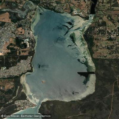
Oyster Harbour
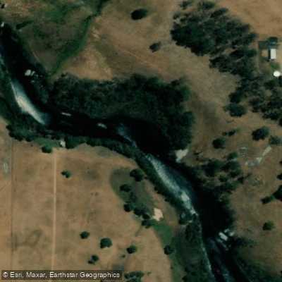
King River
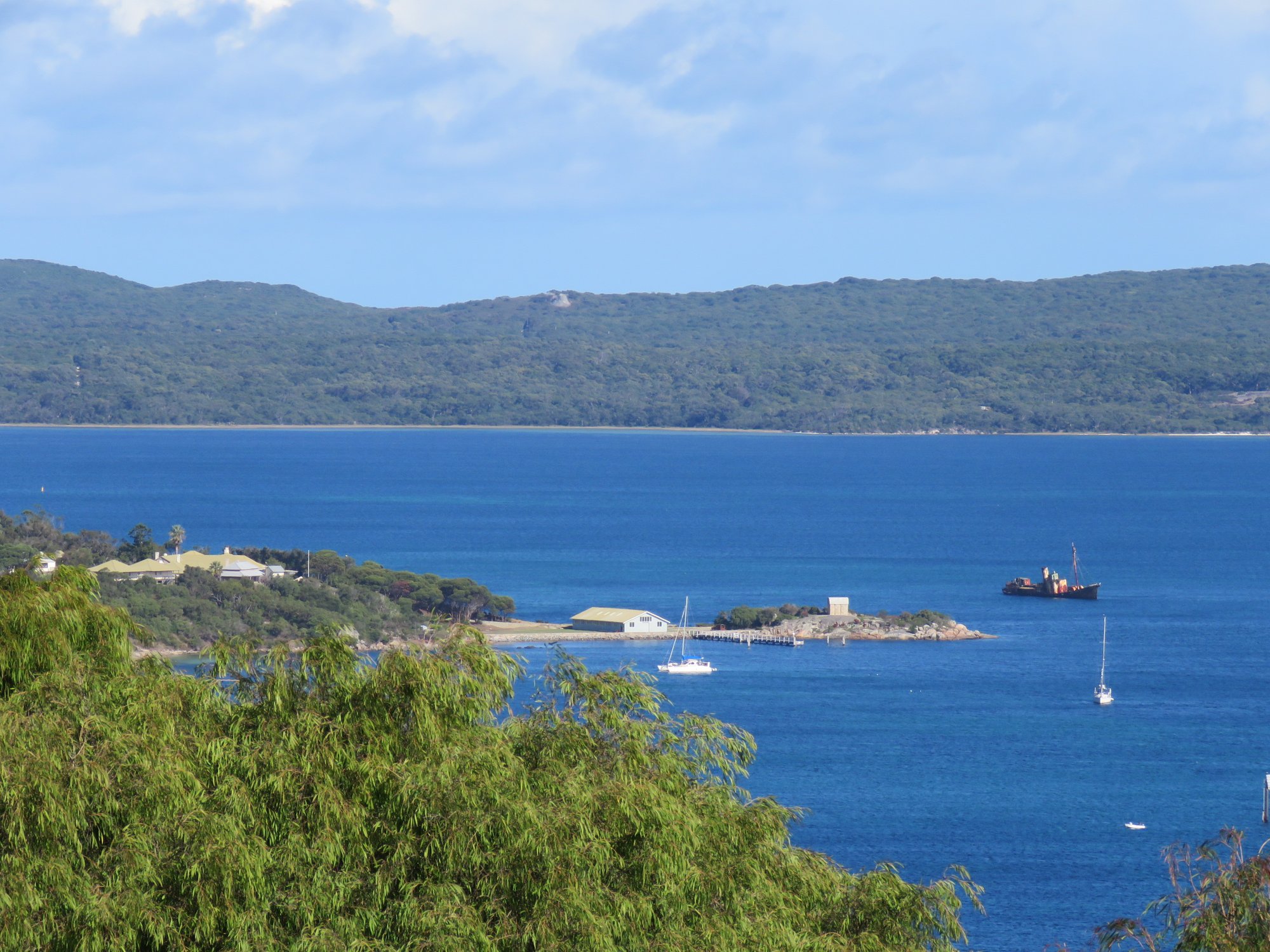
Princess Royal Harbour
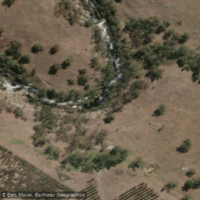
Kalgan River
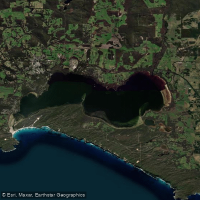
Wilson Inlet
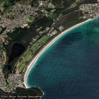
Middleton Beach
Hay River
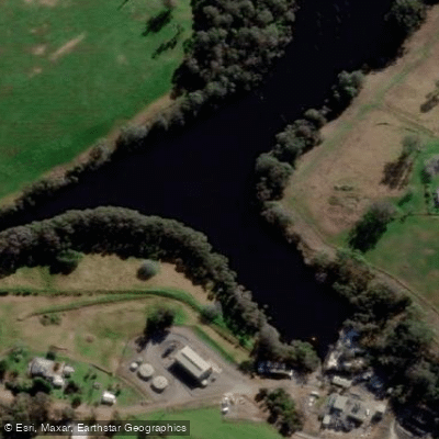
Denmark River
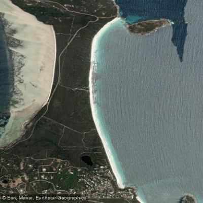
Goode Beach
Waychinicup River
Explore Western Australia waters
Top paddling waters
No waters available right now.
Popular Cities
Loading popular cities...
Explore near Wellstead Estuary

Smarter Paddling Starts in the App.
Paddleways gives you everything you need to plan smarter, paddle better, and own every trip from first launch to takeout.