Panther River
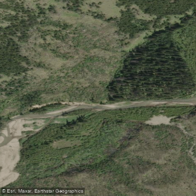
Panther River
- Boat Ramps
- 0
- Access Points
- 0
- Campsites
- 1
The Panther River is a tributary of the Red Deer River, located on the eastern slopes of the Rocky Mountains in Alberta. It is a relatively narrow, low-volume stream that flows quickly through its valley, and is generally considered a beginner-level run. The river is typically paddled when the Red Deer River is running between 90 and 140 cms, at which point the Panther sits at roughly 20 cms — making it a useful alternative when the Red Deer is too high for comfortable paddling.
The standard run is approximately 9 kilometres, from a put-in 9 km above the Blue Bridge to the Blue Bridge take-out, and can be completed in about half a day. There are no portages on this route. The river features many good eddies throughout, and its narrow width makes it well-suited for throw-bag and rescue scenario practice. The one notable rapid is an S-bend located approximately one-third of the way into the run, situated near a trailer campsite with boulders on the banks.
The primary hazard on the Panther is wood — sweepers, stumps, and log jams are a consistent concern. It is strongly recommended to scout the full run for wood before paddling, particularly when bringing beginners. The river's narrow character means that strainers can develop quickly and leave little room to maneuver.
The Panther River confluence with the Red Deer River is a historically significant location, having served as the site of the 1972 Canadian Whitewater Slalom Championships. Near the confluence, the Forestry Trunk Road bridge at Mountain Aire Lodge marks a key landmark; an island immediately upstream of the bridge creates converging currents funnelled through a narrow gap, and the resulting unpredictable standing waves warrant careful scouting before attempting.
Guided whitewater rafting operations run on the Panther and the Red Deer, with outfitters offering class II–IV rapids on combined river expeditions. Accommodation options including camping and cabins are available in the area near the Panther River, providing a base for multi-day paddling trips. The surrounding landscape is characterized by steep valley walls, willow meadows, and spruce forest typical of the Rocky Mountain foothills.
Water access, boat ramps & amenities
Learn how to get on Panther River. Uncover great paddling access points, boat ramps, and all the facilities you need for an unforgettable day on the water. Some locations shown may border or include private property. Always check property boundaries and applicable regulations before visiting. PaddleWays's Public & Private Land layer can help you plan your access with confidence.
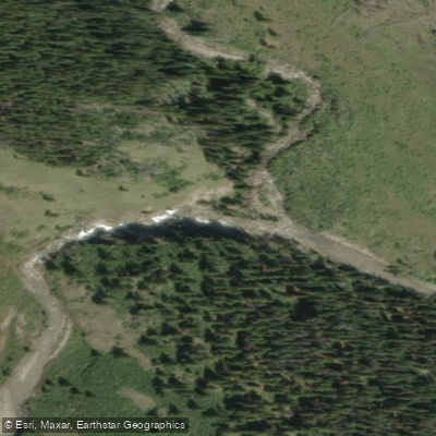
Paddle smarter with real-time insights
Whether you're en route and conditions shift or you're looking for the best spot based on current flows, we enable you to make informed decisions on the fly.







Ab licenses and regulations
No licenses or regulations available for Ab.
Find Places to Paddle

Over 400,000 Places to Paddle
Every user gets free access to launch points, boat ramps, and public property parcels.


Water and weather conditions (10 day forecast)
See the best times to paddle Panther River and check the forecast before you go.
No forecast data available.
Paddling near Panther River
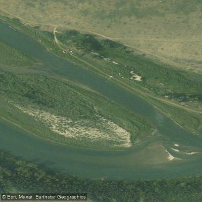
Bow River
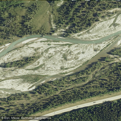
Elbow River
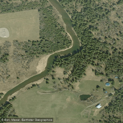
Little Red Deer River
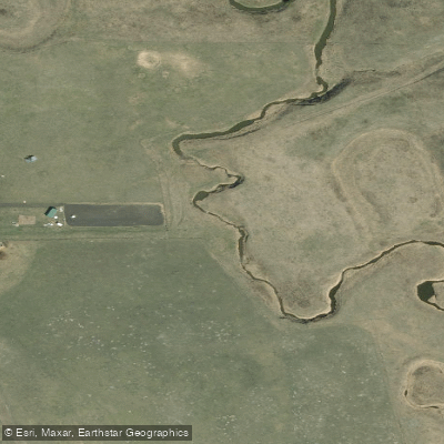
Rosebud River
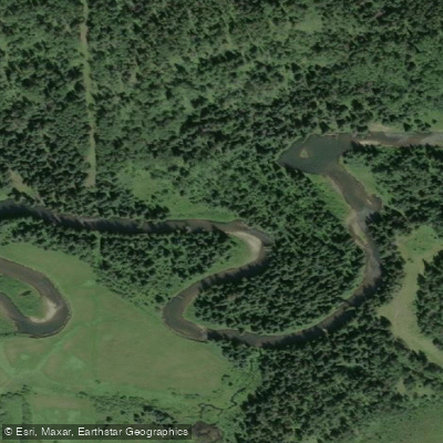
Fallentimber Creek
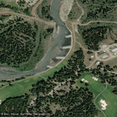
Kananaskis River
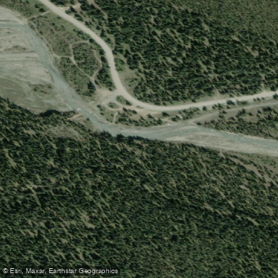
Waiparous Creek
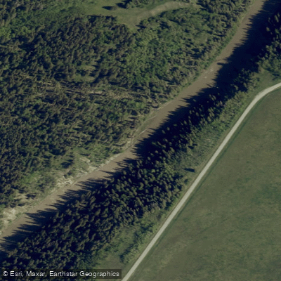
Sheep River
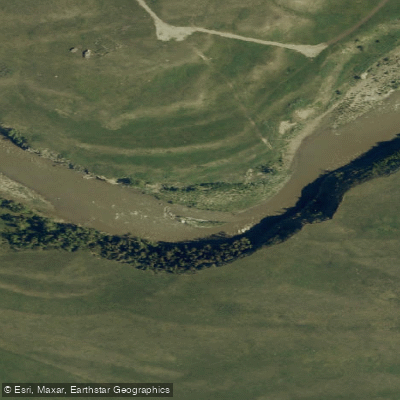
Highwood River
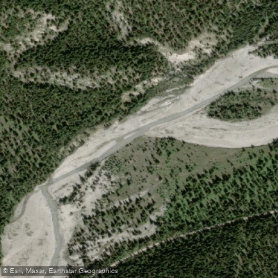
Little Elbow River
Explore Ab waters
Top paddling waters
No waters available right now.
Popular Cities
Loading popular cities...
Explore near Panther River

Smarter Paddling Starts in the App.
Paddleways gives you everything you need to plan smarter, paddle better, and own every trip from first launch to takeout.