Spray River
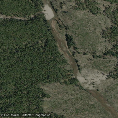
Spray River
- Boat Ramps
- 0
- Access Points
- 0
- Campsites
- 2
The Spray River is a 64-kilometre tributary of the Bow River in western Alberta, originating in the southern area of Banff National Park in the Canadian Rockies. The river flows into the Spray Lakes Reservoir, which was formed in 1951 following the construction of the Canyon Dam. Below the reservoir, the river's hydrology is heavily managed through a series of hydroelectric facilities, including the Three Sisters Dam, Goat Pond, and ultimately the Spray Powerhouse at Grassi Lakes — the second largest conventional hydroelectric facility in Alberta at 112MW — before water is eventually released into the Bow River.
The most notable whitewater paddling opportunity on the Spray River is the section above Spray Lake, accessed via the Mt. Shark trailhead parking lot. This run requires approximately a 6-kilometre hike to reach the put-in at the first bridge crossing a significant river, then continuing 100–200 metres further to take a left on a major trail toward Spray/Palliser Pass. The section is rated advanced and is described as comparable to a shorter, somewhat easier version of Boundary Creek, featuring repeated boof opportunities. The canyon begins with a 15-foot drop rolling into a pool with limited eddy options, followed by a 6-foot pourover leading into a 12–15-foot drop that requires careful line selection. Additional pourovers lead into a final section that transitions between boulder gardens and continuous whitewater depending on water level. The run is approximately 1.5 kilometres in length and ends back at the bridge. Due to the significant approach hike, this section sees very little traffic.
The Spray Lakes Reservoir, formed by the damming of the Spray River, stretches approximately 13 miles and offers stand-up paddleboarding opportunities, with campgrounds, picnic areas, and a boat launch available along its shores.
Water access, boat ramps & amenities
Learn how to get on Spray River. Uncover great paddling access points, boat ramps, and all the facilities you need for an unforgettable day on the water. Some locations shown may border or include private property. Always check property boundaries and applicable regulations before visiting. PaddleWays's Public & Private Land layer can help you plan your access with confidence.
Paddle smarter with real-time insights
Whether you're en route and conditions shift or you're looking for the best spot based on current flows, we enable you to make informed decisions on the fly.







Ab licenses and regulations
No licenses or regulations available for Ab.
Find Places to Paddle

Over 400,000 Places to Paddle
Every user gets free access to launch points, boat ramps, and public property parcels.


Water and weather conditions (10 day forecast)
See the best times to paddle Spray River and check the forecast before you go.
SPRAY RIVER AT BANFF
Paddling near Spray River
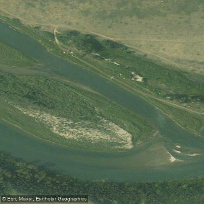
Bow River
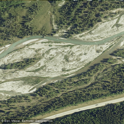
Elbow River
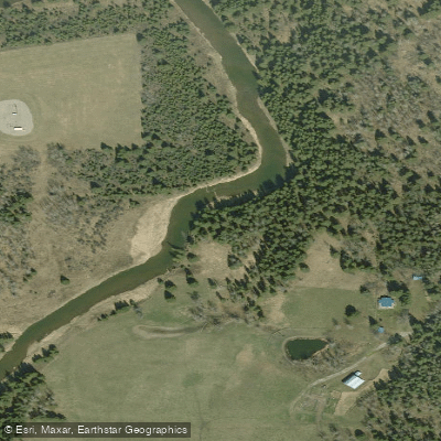
Little Red Deer River
Sheep River
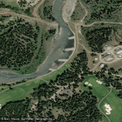
Kananaskis River
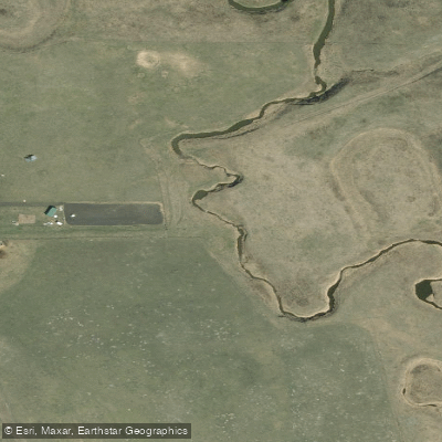
Rosebud River
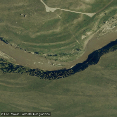
Highwood River
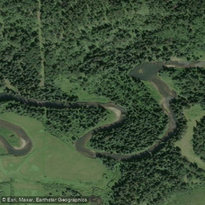
Fallentimber Creek
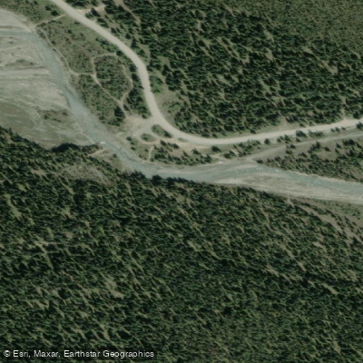
Waiparous Creek
Little Elbow River
Explore Ab waters
Top paddling waters
No waters available right now.
Popular Cities
Loading popular cities...
Explore near Spray River

Smarter Paddling Starts in the App.
Paddleways gives you everything you need to plan smarter, paddle better, and own every trip from first launch to takeout.