Ford Mountain Trail
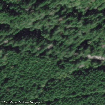
Ford Mountain Trail
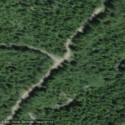
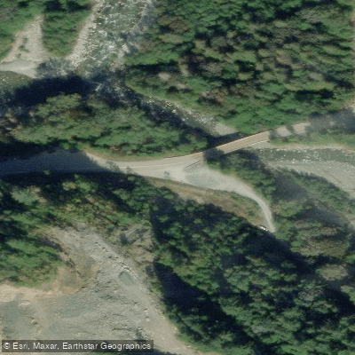
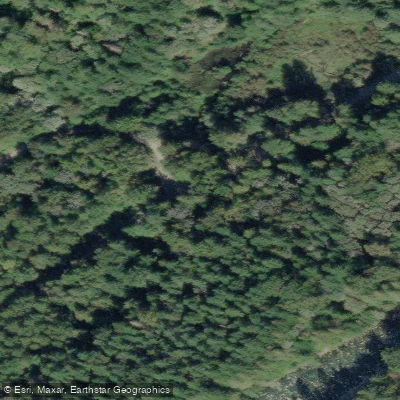
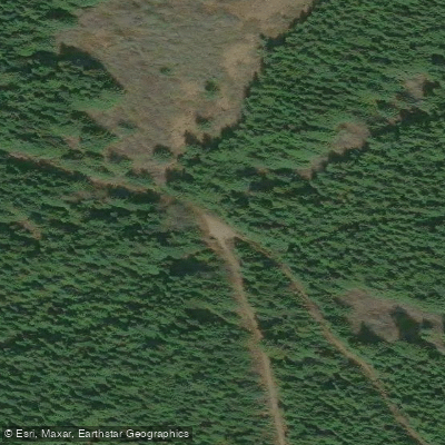
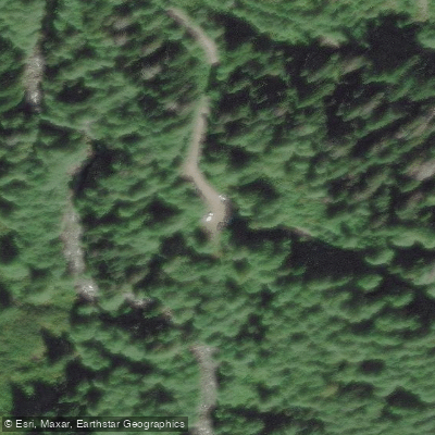
Ford Mountain Trail is a forested hiking route located in the Chilliwack River Valley, approximately 28–30 km east of Chilliwack, British Columbia.
The trail climbs roughly 1,005 metres in elevation to a highest point of 1,410 metres, where an old Forest Service fire lookout offers panoramic views of the rugged peaks to the south.
From the lookout, hikers can optionally continue along Williams Ridge toward Williams Peak. The trailhead is accessed via Ford Mountain Forest Service Road, which demands a high-clearance 4×4 vehicle.
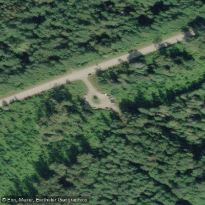
Four-wheel-drive vehicles can travel about 4 km up the rough, steep road to a metal gate, beyond which a short 300-metre walk leads to the trail itself.
Two-wheel-drive vehicles are limited to roughly the first 2 km, adding considerable distance to the overall trip. The full return distance with 4×4 access is approximately 6 km; without it, the round trip extends to about 14. 6 km.
Nearby points of interest
Find excellent paddling spots, easy access to boat ramps, and all the amenities you need for a memorable day. Your adventure starts here.
Water and weather conditions (10 day forecast)
Check the forecast at Ford Mountain Trail before you go paddling.
No forecast data available.
Paddling near Ford Mountain Trail




Bc licenses and regulations
Explore Bc waters
Top paddling waters
No waters available right now.
Popular Cities
Loading popular cities...
Explore near Ford Mountain Trail
Nearby spots
Nearby waters
More in Bc

Smarter Paddling Starts in the App.
Paddleways gives you everything you need to plan smarter, paddle better, and own every trip from first launch to takeout.