Alma Beach
- Saltwater
- Beach
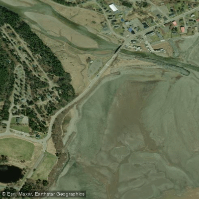
Alma Beach
- Saltwater
- Beach
- Sq. miles
- 0.1
- Boat Ramps
- 0
- Access Points
- 0
- Campsites
- 0
Alma Beach is a shoreline on the Bay of Fundy within Fundy National Park, near the village of Alma. The beach is characterized by the world's highest tides, which dramatically alter the landscape and access to the water. A 100-meter wooden boardwalk with viewpoints and benches leads to the mouth of the Upper Salmon River, providing a primary viewing and access point. For paddlers launching from shore, the beach itself is the put-in. The carry distance from the nearest accessible parking space, located 75 meters from the boardwalk, to the water's edge will vary enormously with the tide, from a very short walk at high tide to a potentially long carry across exposed mudflats at low tide. The beach is within easy walking distance of the village amenities, including shops and restaurants. The overall character of a paddle from Alma Beach is defined by the immense tidal forces of the Bay of Fundy. Paddlers must plan their launch and return times meticulously around the tide tables to avoid being stranded by the rapidly receding water or confronting dangerous currents. The water is cold year-round due to the bay's northern latitude. The scenery includes dramatic coastal views of the bay's cliffs and forested shoreline. Wildlife sightings may include seabirds. The beach offers a direct launch point for exploring the bay's coastline or the nearby river mouth. As it is within Fundy National Park, general park rules apply. Local outfitters and kayak guides in the area offer rentals and guided tours.
Water access, boat ramps & amenities
Learn how to get on Alma Beach. Uncover great paddling access points, boat ramps, and all the facilities you need for an unforgettable day on the water. Some locations shown may border or include private property. Always check property boundaries and applicable regulations before visiting. PaddleWays's Public & Private Land layer can help you plan your access with confidence.
Paddle smarter with real-time insights
Whether you're en route and conditions shift or you're looking for the best spot based on current flows, we enable you to make informed decisions on the fly.







Nb licenses and regulations
No licenses or regulations available for Nb.
Find Places to Paddle

Over 400,000 Places to Paddle
Every user gets free access to launch points, boat ramps, and public property parcels.


Tides, wind & water conditions (10 day forecast)
On open water, wind and tide matter as much as the weather. See the best times to paddle Alma Beach and check the marine forecast before you launch.
Loading tide predictions…
Paddling near Alma Beach
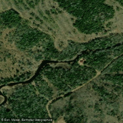
Scoudouc River
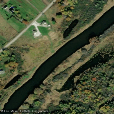
Kennebecasis River
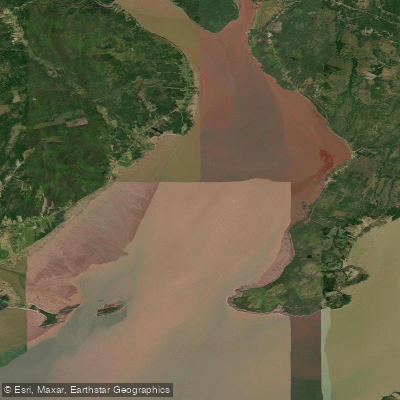
Shepody Bay
Petitcodiac River
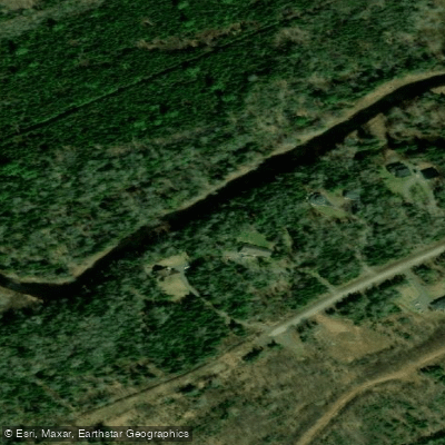
Cocagne River
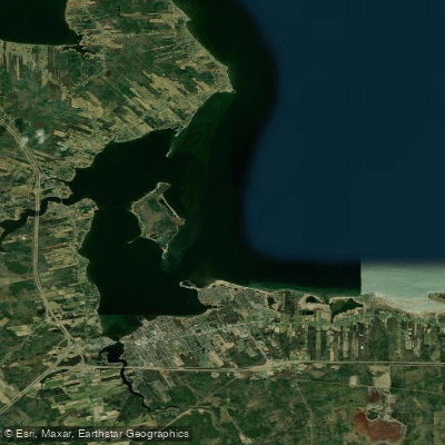
Baie de Shédiac
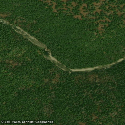
Point Wolfe River
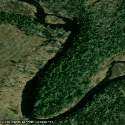
Kouchibouguacis River
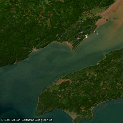
Chignecto Bay
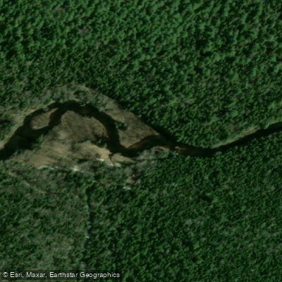
Kouchibouguac River
Explore Nb waters
Top paddling waters
No waters available right now.
Popular Cities
Loading popular cities...
Explore near Alma Beach

Smarter Paddling Starts in the App.
Paddleways gives you everything you need to plan smarter, paddle better, and own every trip from first launch to takeout.