Sable River
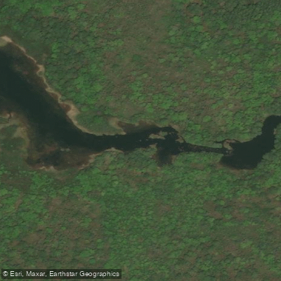
Sable River
- Boat Ramps
- 0
- Access Points
- 2
- Campsites
- 0
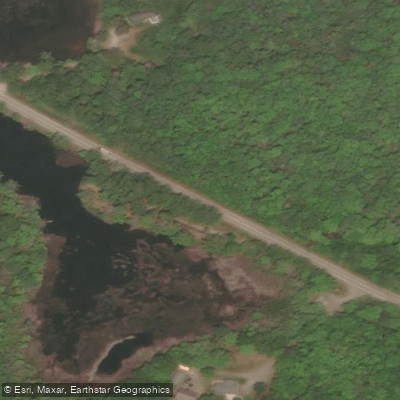
The Sable River in Nova Scotia flows through Shelburne County in the southwestern part of the province, emptying toward the Atlantic coast. The primary access point for paddlers is at Sable River Bridge on Highway 103, where a private landowner has granted permission to use the site as a put-in. Paddlers should respect private property at all times when using this access. The shoreline at the bridge is rocky and gravelly. Vehicles can be driven down into the field just above the bridge, and parking is also available at the carpool area near the Lockeport exit 23 off Highway 103.
The recommended route runs from Sable River Bridge downstream to Louis Head Beach, described as an interesting and scenic paddle. Paddlers can arrange a vehicle shuttle to be picked up at the beach, or plan an overnight trip using the Louis Head Beach Campground, which has a small canteen and other amenities. A critical tidal consideration applies to this route: paddling is described as impossible at low tide, so checking tide tables before launching is essential for trip planning.
The topographic reference for the area is map 20 P/14 (Shelburne), and the relevant marine chart is 4240 (Liverpool–Lockeport). The UTM grid reference for the Sable River Bridge access is E0333905 N4856097, at approximately 43° 50.464′ N, 65° 03.991′ W.
Near the access point, the Sable River Walking Trail offers additional exploration on foot. The trail includes a pedestrian suspension footbridge — noted as the only one of its kind in the area — and connects to the Tom Tigney Trail in a route locally referred to as "going around the River." Two garages near the Sable River Bridge on Highway 103 carry snacks and hot and cold drinks. A provincial park picnic area is located just off Highway 103 at Lockeport exit 23, providing an additional nearby facility for paddlers.
Water access, boat ramps & amenities
Learn how to get on Sable River. Uncover great paddling access points, boat ramps, and all the facilities you need for an unforgettable day on the water. Some locations shown may border or include private property. Always check property boundaries and applicable regulations before visiting. PaddleWays's Public & Private Land layer can help you plan your access with confidence.
Paddle smarter with real-time insights
Whether you're en route and conditions shift or you're looking for the best spot based on current flows, we enable you to make informed decisions on the fly.








Find Places to Paddle

Over 400,000 Places to Paddle
Every user gets free access to launch points, boat ramps, and public property parcels.


Water and weather conditions (10 day forecast)
See the best times to paddle Sable River and check the forecast before you go.
No forecast data available.
Paddling near Sable River
Annapolis River
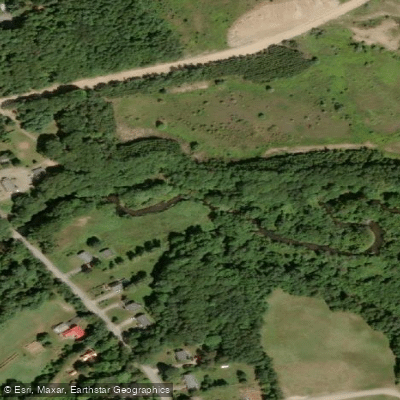
Cornwallis River
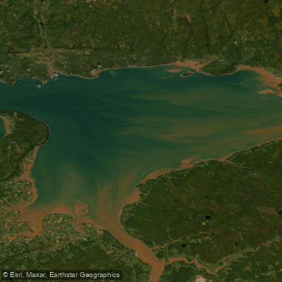
Minas Basin
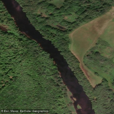
LaHave River
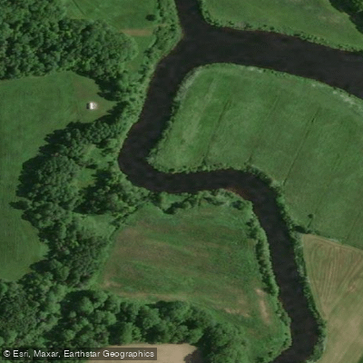
Avon River
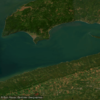
Minas Channel
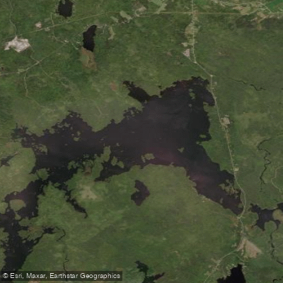
Gaspereau Lake
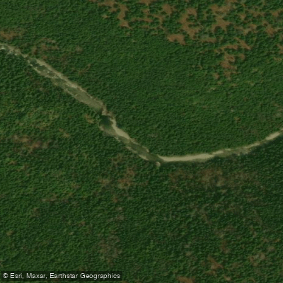
Point Wolfe River
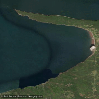
Scots Bay
Nictaux River
Explore Ns waters
Top paddling waters
No waters available right now.
Popular Cities
Loading popular cities...
Explore near Sable River

Smarter Paddling Starts in the App.
Paddleways gives you everything you need to plan smarter, paddle better, and own every trip from first launch to takeout.