Délin Chú
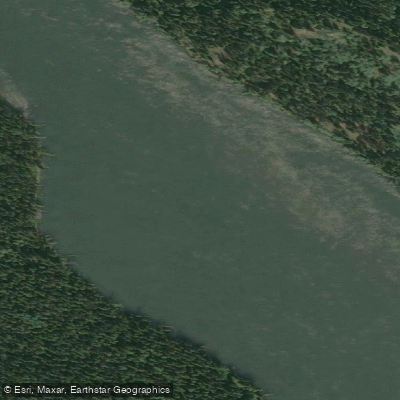
Délin Chú
- Boat Ramps
- 1
- Access Points
- 0
- Campsites
- 0
Délin Chú is the Northern Tutchone name for the Teslin River, meaning "water running out from the lake." It is a major tributary of the Yukon River, originating in the Cassiar Land District of northwestern British Columbia and flowing northwest through Teslin Lake before continuing into southern Yukon, where it joins the Yukon River. The river's total length is approximately 632 kilometres, with a drainage basin of roughly 35,500 square kilometres.
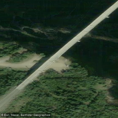
The river is generally characterized as a wide, fast-moving, and deep waterway rated Class I-II, making it particularly well-suited for novice canoeists. The current is described as fast enough to cover significant distances without demanding technical skill, while remaining manageable for those still developing paddling technique. The typical put-in for paddling trips is at Johnson's Crossing on the Alaska Highway, where a 447-metre cantilever bridge crosses the river at kilometre 1296. This access point is straightforward by road. Trips commonly continue onto the Yukon River, with routes covering more than 350 kilometres through the southern Yukon, finishing near Little Salmon.
Notable features along the route include the confluence with the Mary River, Roaring Bull Rapids, and the historic site of Hootalinqua, which served as a river stop and supply point during the Klondike Gold Rush and was previously a First Nations fish camp and gathering place. A deteriorating gold rush-era paddle wheeler can be found on the shoreline near Hootalinqua. Moose are frequently spotted along the shorelines and are sometimes seen swimming the river.
Fishing regulations apply to the Teslin River (Délin Chú). From July 1 to October 15, only single-pointed barbless hooks with a gap of less than 20 mm are permitted. The river appears in Yukon government fishing regulation documents under both its Indigenous name and its anglicized name.
The river holds considerable historical and cultural significance. The Northern Tutchone people have long used it as a travel and fishing corridor. During the Klondike Gold Rush, it served as a secondary route to the gold fields, favoured by those seeking to avoid the Chilkoot Trail and the hazardous White Horse Rapids. Commercial activity on the river continued into the 1940s before it returned largely to its natural state.
Water access, boat ramps & amenities
Learn how to get on Délin Chú. Uncover great paddling access points, boat ramps, and all the facilities you need for an unforgettable day on the water. Some locations shown may border or include private property. Always check property boundaries and applicable regulations before visiting. PaddleWays's Public & Private Land layer can help you plan your access with confidence.
Paddle smarter with real-time insights
Whether you're en route and conditions shift or you're looking for the best spot based on current flows, we enable you to make informed decisions on the fly.







Yt licenses and regulations
No licenses or regulations available for Yt.
Find Places to Paddle

Over 400,000 Places to Paddle
Every user gets free access to launch points, boat ramps, and public property parcels.


Water and weather conditions (10 day forecast)
See the best times to paddle Délin Chú and check the forecast before you go.
No forecast data available.
Explore Yt waters
Top paddling waters
No waters available right now.
Popular Cities
Loading popular cities...
Explore near Délin Chú
Access points
Nearby waters
More in Yt

Smarter Paddling Starts in the App.
Paddleways gives you everything you need to plan smarter, paddle better, and own every trip from first launch to takeout.