Schwatka Lake
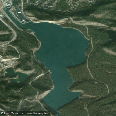
Schwatka Lake
- Boat Ramps
- 2
- Access Points
- 0
- Campsites
- 1
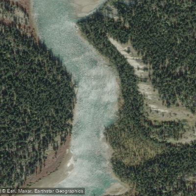
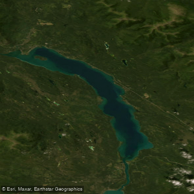
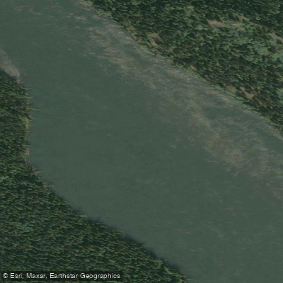
Schwatka Lake is a reservoir on the Yukon River within the city of Whitehorse, created in 1958 when the Whitehorse Rapids Dam was built for hydroelectric power generation, submerging the former White Horse rapids. The lake has a surface area of approximately 15 hectares (37 acres) and a maximum depth of 6–8 metres (20–26 ft), with a watershed of approximately 3,500 square kilometres draining into it. The surrounding landscape consists of riparian, wetland, and forested boreal terrain.
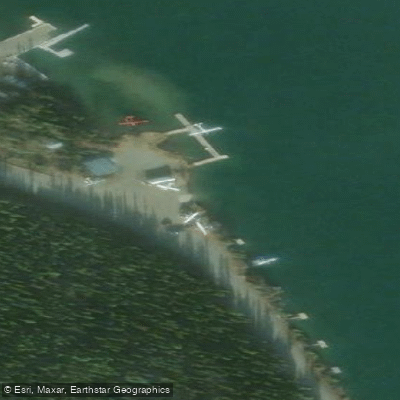
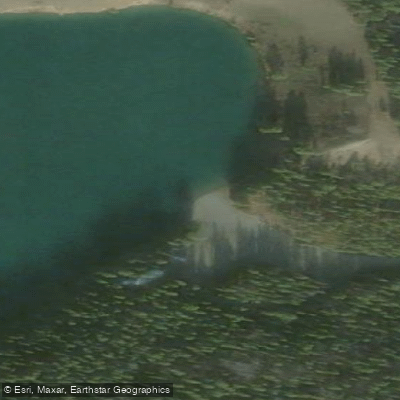
The primary access point for paddlers is the day-use area on the eastern shore, reached via Chadburn Lake Road in the Riverdale neighbourhood. Facilities there include a boat launch, a long floating pier, picnic tables, and pit toilets. A large gravel parking lot serves the area, though the access road is gravel and can be rough. A second, less-developed launch on the southwest shore is noted as good for early-season paddling, as that area becomes ice-free earlier in spring.
A significant consideration for paddlers is floatplane traffic. Schwatka Lake is a registered water aerodrome accommodating over 2,000 floatplane movements annually from April to November, making awareness of aircraft activity an important safety factor. The eastern shore is considered more appropriate for paddling classes and programs, while the western shore is better suited to casual boating.
The lake serves as both a destination and a key transition point on the Yukon River. Paddlers coming downstream through Miles Canyon exit into Schwatka Lake, with the day-use area takeout located approximately one kilometre after leaving the canyon on the eastern side. The Miles Canyon paddle—typically put in near the Yukon River Bridge or at Army Beach—is a popular route that takes roughly one to one and a half hours through the basalt canyon before opening onto the lake. A longer option beginning at Marsh Lake covers approximately 30 km and can be completed in a single day.
The lake falls within the migratory path of numerous bird species, and the shoreline supports loons, grebes, and ducks. Beaver and deer are also observed in the area. The 15-kilometre Yukon River Loop Trail follows the lakeshore and connects to Miles Canyon and the historic Canyon City settlement, offering context for the area's role as a water and rail passage during the Klondike Gold Rush era. Fish species in the lake include northern pike and rainbow trout.
Water access, boat ramps & amenities
Learn how to get on Schwatka Lake. Uncover great paddling access points, boat ramps, and all the facilities you need for an unforgettable day on the water. Some locations shown may border or include private property. Always check property boundaries and applicable regulations before visiting. PaddleWays's Public & Private Land layer can help you plan your access with confidence.
Paddle smarter with real-time insights
Whether you're en route and conditions shift or you're looking for the best spot based on current flows, we enable you to make informed decisions on the fly.







Yt licenses and regulations
No licenses or regulations available for Yt.
Find Places to Paddle

Over 400,000 Places to Paddle
Every user gets free access to launch points, boat ramps, and public property parcels.


Water and weather conditions (10 day forecast)
See the best times to paddle Schwatka Lake and check the forecast before you go.
No forecast data available.
Explore Yt waters
Top paddling waters
No waters available right now.
Popular Cities
Loading popular cities...
Explore near Schwatka Lake

Smarter Paddling Starts in the App.
Paddleways gives you everything you need to plan smarter, paddle better, and own every trip from first launch to takeout.