Kusawa Lake
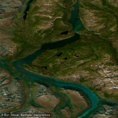
Kusawa Lake
- Boat Ramps
- 1
- Access Points
- 0
- Campsites
- 2
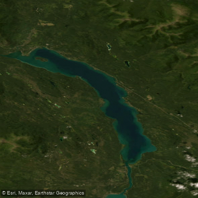
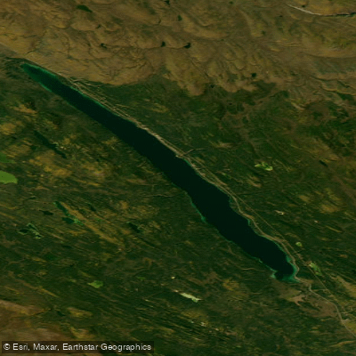
Kusawa Lake sits at an elevation of 671 m (2,201 ft) in the southern Yukon, approximately 60 km southwest of Whitehorse near the British Columbia border. The name derives from the Tlingit word meaning "long narrow lake," which accurately describes its geography: the lake stretches 75 km in length with a maximum width of only about 2.5 km, winding through the mountains of the northern Boundary Ranges. It covers an area of 142 km² and reaches a maximum depth of 140 m, with glacial origins accounting for its notably clear, vividly colored water. The lake is fed by the Primrose River and Kusawa River, and drains northward via the Takhini River.
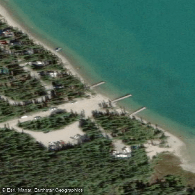
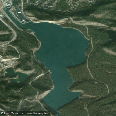
Access is via an unpaved road branching from the Alaska Highway, roughly 20 km north of the lake. There are two Yukon government campgrounds along this road: a smaller 13-site campground near the Takhini River at approximately Km 15, and the main Kusawa Lake Campground at Km 24. The main campground includes a boat launch, docks, outhouses, bear-proof garbage bins, picnic tables, cook shelters, fire rings, and wheelchair-accessible facilities. The road can become muddy and rutted after rain, and high-clearance vehicles may be advisable in wet conditions.
Because the lake is narrow, paddlers should exercise caution in high winds, which can generate significant wave action in the confined channel. The surrounding Ibex Valley is known for abundant wildlife, including moose, bears, and eagles.
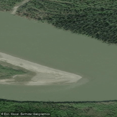
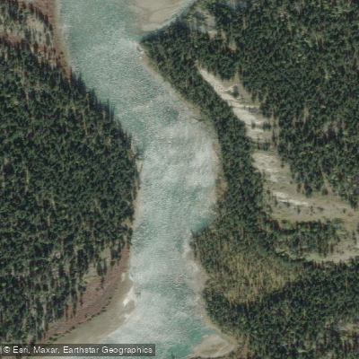
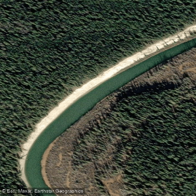
The most popular paddling route in the area is the day trip from Kusawa Lake Campground down the Takhini River to Mendenhall Landing, a distance of approximately 20 km. The Takhini is generally straightforward, with clear channels running down the center, though sweepers can occur on the outside of bends and back channels. One notable rapid — colloquially called the "Jaws of Death" — requires scouting; a short portage is available for those who prefer not to run it. Guided trips typically operate from mid-June through mid-September. Depending on water levels, some trips extend from Mendenhall Landing to the Takhini River Bridge.
The campground's proximity to Whitehorse (under two hours) means it sees heavy use on weekends during summer, so arriving early or visiting on weekdays is advisable to secure a campsite.
Water access, boat ramps & amenities
Learn how to get on Kusawa Lake. Uncover great paddling access points, boat ramps, and all the facilities you need for an unforgettable day on the water. Some locations shown may border or include private property. Always check property boundaries and applicable regulations before visiting. PaddleWays's Public & Private Land layer can help you plan your access with confidence.
Paddle smarter with real-time insights
Whether you're en route and conditions shift or you're looking for the best spot based on current flows, we enable you to make informed decisions on the fly.







Yt licenses and regulations
No licenses or regulations available for Yt.
Find Places to Paddle

Over 400,000 Places to Paddle
Every user gets free access to launch points, boat ramps, and public property parcels.


Water and weather conditions (10 day forecast)
See the best times to paddle Kusawa Lake and check the forecast before you go.
No forecast data available.
Explore Yt waters
Top paddling waters
No waters available right now.
Popular Cities
Loading popular cities...
Explore near Kusawa Lake

Smarter Paddling Starts in the App.
Paddleways gives you everything you need to plan smarter, paddle better, and own every trip from first launch to takeout.