Lake Laberge
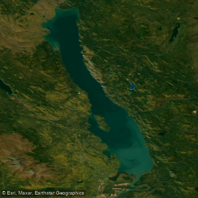
Lake Laberge
- Boat Ramps
- 2
- Access Points
- 0
- Campsites
- 24
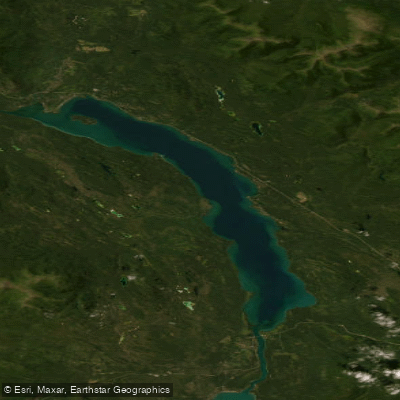
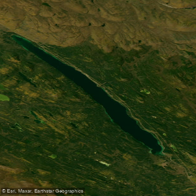
Lake Laberge is a large lake in Yukon, Canada, situated along the Yukon River corridor roughly between miles 52 and 72 of the Whitehorse-to-Dawson City route. The lake is reached by paddling north from Whitehorse, typically after a day of travel down the upper Yukon River from the Takhini Bridge area. A campground with a boat launch is located on the lake, and as of 2025 a brand-new boat launch facility has been completed there. The southern end serves as the primary put-in for paddlers continuing north, while the northern end, known as Lower Laberge, marks the transition back to the flowing river and the start of the Thirty Mile section.
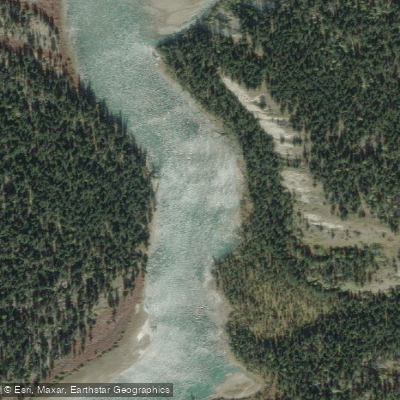
Wind is the defining hazard on Lake Laberge. Thunderstorms can strike abruptly and transform the normally flat water into dangerous conditions. Paddlers are strongly advised to stay close to either shore at all times and to make land immediately at the first sign of deteriorating weather. The right (eastern) shore is straighter and generally faster to paddle, though it offers fewer campsites than the left shore. In years with a late seasonal thaw, ice tends to concentrate on the northern and western sides of the lake, making the right shore the safer choice early in the season. The paddling season generally runs from June through September.
The lake is known for northern pike fishing along its shoreline. Day hiking opportunities exist along the rocky eastern shore, and the surrounding landscape is characterized by scenic promontories. The lake holds considerable cultural and literary significance — it was immortalized by poet Robert Service in "The Cremation of Sam McGee" and sits within the traditional territories of the Kwanlin Dün First Nation and Ta'an Kwäch'än Council. Paddling the lake typically takes two to three days depending on conditions and pace.
Crossing Lake Laberge is considered one of the more demanding segments of the Yukon River route, not because of technical whitewater but because of its exposure to wind and weather. Some guided operators choose to transport clients across the lake by motorboat to avoid these conditions, launching canoes only once back on the river. Despite the caution it demands, the lake is widely described by those who have paddled it as one of the most visually striking portions of the entire Yukon River journey.
Water access, boat ramps & amenities
Learn how to get on Lake Laberge. Uncover great paddling access points, boat ramps, and all the facilities you need for an unforgettable day on the water. Some locations shown may border or include private property. Always check property boundaries and applicable regulations before visiting. PaddleWays's Public & Private Land layer can help you plan your access with confidence.
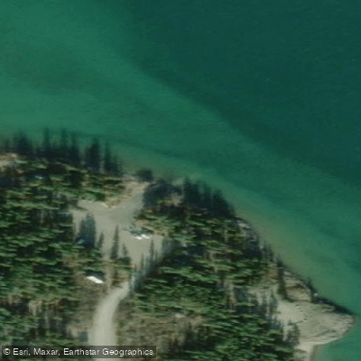
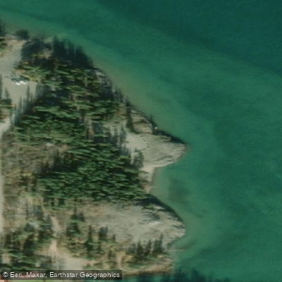
Paddle smarter with real-time insights
Whether you're en route and conditions shift or you're looking for the best spot based on current flows, we enable you to make informed decisions on the fly.







Yt licenses and regulations
No licenses or regulations available for Yt.
Find Places to Paddle

Over 400,000 Places to Paddle
Every user gets free access to launch points, boat ramps, and public property parcels.


Water and weather conditions (10 day forecast)
See the best times to paddle Lake Laberge and check the forecast before you go.
LAKE LABERGE NEAR WHITEHORSE
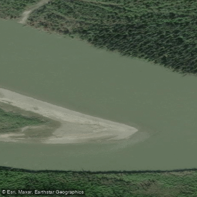
Explore Yt waters
Top paddling waters
No waters available right now.
Popular Cities
Loading popular cities...
Explore near Lake Laberge
Access points
Nearby waters
More in Yt

Smarter Paddling Starts in the App.
Paddleways gives you everything you need to plan smarter, paddle better, and own every trip from first launch to takeout.