Takhini River
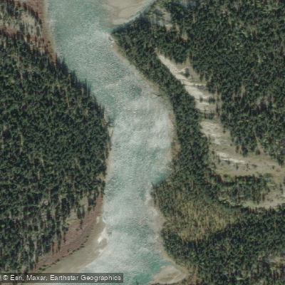
Takhini River
- Boat Ramps
- 1
- Access Points
- 0
- Campsites
- 1
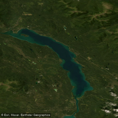
The Takhini River is a 180-kilometre tributary of the Yukon River in the Yukon Territory, flowing east from Kusawa Lake to join the Yukon River at a point between Whitehorse and Lake Laberge. The name derives from the Tlingit word T'ahini, meaning "king salmon river," reflecting the historical importance of Chinook salmon runs in the system. In Southern Tutchone, the river is called Nakhu Chu, meaning "rafting across river." The upper section near Kusawa Lake is known for crystal-clear water, while the lower reach near the Yukon River confluence runs noticeably silty.
The most popular paddling section is a 17-kilometre day trip beginning at the Takhini River Campground, a Yukon government campground located approximately 15 kilometres down the gravel Kusawa Lake Road, which branches south off the Alaska Highway west of Whitehorse. The drive from Whitehorse to this put-in takes roughly one hour. The campground sits within Kusawa Territorial Park and provides direct river access. The take-out for this section is at Mendenhall Landing, a historic access point downstream that also served as a sternwheeler stop during the 1903–1906 Kluane gold rush era. A vehicle shuttle between the two points is required. This section is rated beginner, requires no portages, and takes between five and seven hours to complete.
The river's character on this run progresses from flat, easy water near the put-in through riffles and standing waves in a section known as the Rock Garden, before reaching the Jaws of Death, a short Class II rapid. A scouting and portage trail is available at the Jaws of Death, allowing paddlers to carry around and re-run the rapid multiple times if desired. The final stretch to the take-out is placid.
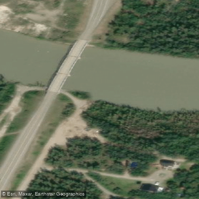
A shorter alternative section runs from a put-in along Takhini River Road to the Takhini River Bridge on the Mayo Road, described as approximately a three-hour paddle and notable for cliff swallows, beavers, moose, and elk along the banks. The Takhini River Bridge, located where the river passes under the Klondike Highway, serves as a take-out point with a boat ramp and usable eddies that allow paddlers to work upstream to the ramp. Guided half-day and multi-day trips are offered by several Whitehorse-area outfitters, with the guided season running roughly mid-May through mid-October.
Water access, boat ramps & amenities
Learn how to get on Takhini River. Uncover great paddling access points, boat ramps, and all the facilities you need for an unforgettable day on the water. Some locations shown may border or include private property. Always check property boundaries and applicable regulations before visiting. PaddleWays's Public & Private Land layer can help you plan your access with confidence.
Paddle smarter with real-time insights
Whether you're en route and conditions shift or you're looking for the best spot based on current flows, we enable you to make informed decisions on the fly.







Yt licenses and regulations
No licenses or regulations available for Yt.
Find Places to Paddle

Over 400,000 Places to Paddle
Every user gets free access to launch points, boat ramps, and public property parcels.


Water and weather conditions (10 day forecast)
See the best times to paddle Takhini River and check the forecast before you go.
TAKHINI RIVER NEAR WHITEHORSE
Explore Yt waters
Top paddling waters
No waters available right now.
Popular Cities
Loading popular cities...
Explore near Takhini River

Smarter Paddling Starts in the App.
Paddleways gives you everything you need to plan smarter, paddle better, and own every trip from first launch to takeout.