Dezadeash River
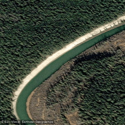
Dezadeash River
- Boat Ramps
- 1
- Access Points
- 0
- Campsites
- 0
The Dezadeash River flows through southwestern Yukon, draining Dezadeash Lake northeast through a broad valley before joining the Kaskawulsh River to form the Alsek River near Haines Junction. The river is commonly paddled in two distinct sections: Dezadeash Lake to Champagne Village, and Champagne Village to Haines Junction, each taking approximately three days to complete.
The upper section begins at Dezadeash Lake, accessed from the Haines Highway (Yukon Highway 3) near kilometre 196, where Dezadeash Lake Campground, operated by Yukon Parks, provides a boat launch. The lake crossing itself warrants caution, as wind can develop quickly and create challenging conditions even in calm-looking weather; paddlers recommend timing the crossing for late evening and carrying a spray skirt. From the lake, the river flows as a slow, winding flatwater channel with thick brush along the banks. This section is rated beginner with no portages required, making it appropriate for novice paddlers and families. The take-out is at Champagne Village, which sits along the old Alaska Highway alignment.
The lower section runs from Champagne Village to Haines Junction. The river transitions along this stretch from gentle, tight meanders through clay-banked bends into a larger, more swiftly flowing channel. Riverbanks are predominantly soft clay and sand, with gravel bars appearing only occasionally. The Aishihik River joins the Dezadeash between Champagne and Haines Junction, adding volume to the flow, along with several smaller tributaries including Dune, Van Bibber, Cracker, and Moose creeks. The Kathleen River enters near Haines Junction. The take-out is at Haines Junction, where the Alaska Highway meets the Haines Highway at the edge of Kluane National Park and Reserve. A vehicle shuttle between highway access points is required for either section.
Wildlife is a consistent feature throughout the river corridor. Moose are frequently encountered along the banks and in the shallows, and in places the river is narrow enough that moose stand in the channel itself, requiring paddlers to wait for them to move. Bald eagles are regularly seen overhead, waterfowl frequent the wetlands and side channels, and bears are present throughout the area. Fishing for Arctic grayling and northern pike is productive in the Dezadeash system. The muddy river bottom in shallower sections can behave like quicksand, so caution is warranted when wading or lining.
Water access, boat ramps & amenities
Learn how to get on Dezadeash River. Uncover great paddling access points, boat ramps, and all the facilities you need for an unforgettable day on the water. Some locations shown may border or include private property. Always check property boundaries and applicable regulations before visiting. PaddleWays's Public & Private Land layer can help you plan your access with confidence.
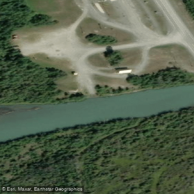
Paddle smarter with real-time insights
Whether you're en route and conditions shift or you're looking for the best spot based on current flows, we enable you to make informed decisions on the fly.







Yt licenses and regulations
No licenses or regulations available for Yt.
Find Places to Paddle

Over 400,000 Places to Paddle
Every user gets free access to launch points, boat ramps, and public property parcels.


Water and weather conditions (10 day forecast)
See the best times to paddle Dezadeash River and check the forecast before you go.
DEZADEASH RIVER AT HAINES JUNCTION
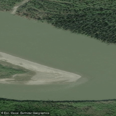
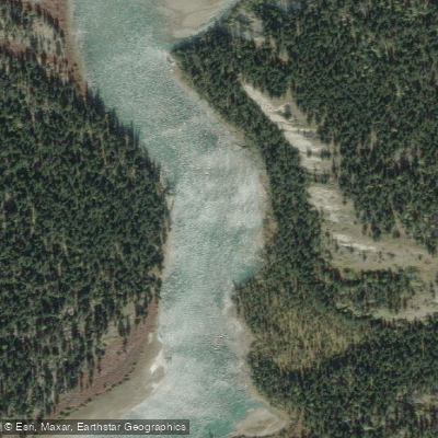
Explore Yt waters
Top paddling waters
No waters available right now.
Popular Cities
Loading popular cities...
Explore near Dezadeash River
Access points
Nearby waters
More in Yt

Smarter Paddling Starts in the App.
Paddleways gives you everything you need to plan smarter, paddle better, and own every trip from first launch to takeout.