Aire and Calder Navigation
Aire and Calder Navigation
- Boat Ramps
- 0
- Access Points
- 3
- Campsites
- 0
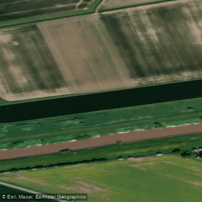
The Aire and Calder Navigation is a canalised river system in West Yorkshire, England, running approximately 34 miles (55 km) from Leeds to Goole, where it joins the River Ouse. The navigation encompasses the canalised sections of both the River Aire and River Calder, with the Wakefield Branch following the Calder from Castleford Junction to Wakefield. The main line passes through key settlements including Castleford, Knottingley, and Ferrybridge. The system contains 11 locks on the main line, with notable engineering works including Lemonroyd Lock near Leeds, described as one of the largest on the British canal network, as well as Knostrop Fall Lock and Bulholme Lock.
The navigation remains an active commercial waterway, carrying over 2 million tonnes of freight annually, primarily oil, sand, and gravel. This is the most significant safety consideration for paddlers: commercial vessels still operate on the waterway and can produce significant wash. Paddlers should give way to these vessels and keep to the right in accordance with the waterway code. The section from Ferrybridge to Goole is a constructed waterway rather than a river navigation, and the scale of the infrastructure throughout reflects its commercial heritage.
A licence is required to paddle on the Aire and Calder Navigation. The licensing authority is the Canal and River Trust, and a Paddle UK membership (British Canoeing) includes a waterways licence covering this and other managed waterways in England and Wales.
The navigation connects with several other waterways, making it part of a broader network. These include the Leeds and Liverpool Canal, the Calder and Hebble Navigation at Wakefield, the Selby Canal at Haddlesey, and the New Junction Canal at Southfield Junction. The waterway passes through areas of strong industrial heritage, including the redeveloped Clarence Dock in Leeds, which provides a notable landmark at the western end of the route. The River Aire, which feeds into the navigation above Leeds, has seen improving water quality in recent years, with fish including salmon reported returning to the system upstream.
Water access, boat ramps & amenities
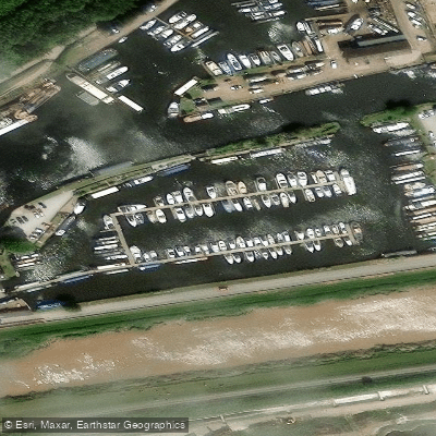
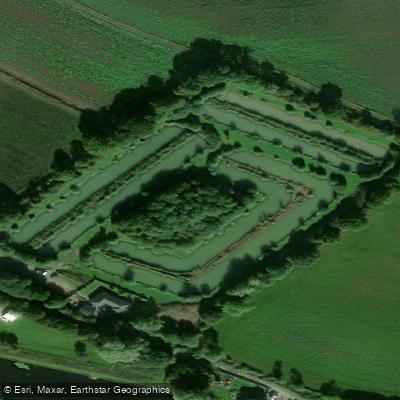
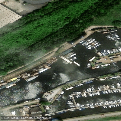
Learn how to get on Aire and Calder Navigation. Uncover great paddling access points, boat ramps, and all the facilities you need for an unforgettable day on the water. Some locations shown may border or include private property. Always check property boundaries and applicable regulations before visiting. PaddleWays's Public & Private Land layer can help you plan your access with confidence.
Paddle smarter with real-time insights
Whether you're en route and conditions shift or you're looking for the best spot based on current flows, we enable you to make informed decisions on the fly.








Find Places to Paddle

Over 400,000 Places to Paddle
Every user gets free access to launch points, boat ramps, and public property parcels.


Water and weather conditions (10 day forecast)
See the best times to paddle Aire and Calder Navigation and check the forecast before you go.
Rawcliffe Bridge
All Flow Stations
Paddling near Aire and Calder Navigation



Explore England waters
Top paddling waters
No waters available right now.
Popular Cities
Loading popular cities...
Explore near Aire and Calder Navigation
Access points
Nearby waters
More in England

Smarter Paddling Starts in the App.
Paddleways gives you everything you need to plan smarter, paddle better, and own every trip from first launch to takeout.