River Aire
River Aire
- Boat Ramps
- 0
- Access Points
- 2
- Campsites
- 3
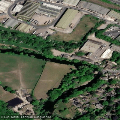
The River Aire is a major Yorkshire river running approximately 92 miles from its source at Malham in the Yorkshire Dales to its confluence with the River Ouse near Goole. The upper section, from Malham to Leeds, covers around 69 kilometres of largely natural river, while below Leeds the river becomes canalised as the Aire and Calder Navigation. The Canal and River Trust manages the navigable stretch from Leeds to Haddlesey Weir, just past Knottingley, a section of 6.5 miles with 2 locks. Maximum boat dimensions on this managed stretch are 23.92m length, 5.03m width, 1.52m draught, and 2.9m headroom.
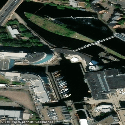
Canoeing, kayaking, and paddleboarding are all practised on the river. The Bradford and Bingley Canoe Club and the Bradford Amateur Rowing Club both have landings on the river, with navigable sections protected by weirs adjacent to their facilities. Crown Point in Leeds marks the furthest west accessible by boat, with a headroom restriction of 11 feet 11 inches (3.62 m). The Crown Point weir is a listed medieval structure, first documented in 1636.
The river passes through a variety of landscapes and settlements of historical interest. These include the market town of Skipton, the Victorian model village of Saltaire with its preserved wool mill, almshouses, and churches, and the dramatic ruins of Kirkstall Abbey before reaching central Leeds. The Aire and Calder Navigation below Leeds still carries commercial freight including oil, sand, and gravel, so paddlers on that section should be aware of commercial vessel traffic, give way to larger vessels, and stay to the right in accordance with the waterway code.
A British Canoeing (Paddle UK) membership includes a waterways licence covering 4,500 kilometres of waterways and also provides public liability insurance. A licence may also be required from the Environment Agency for use on navigable sections of the river.
Water quality on the Aire has improved significantly in recent years following conservation measures, and fish species including brown trout, grayling, and reportedly salmon have returned to parts of the river. Urban sections of the river are not recommended for swimming. The river's meandering character through varied terrain makes for a varied paddling experience across its length.
Water access, boat ramps & amenities
Learn how to get on River Aire. Uncover great paddling access points, boat ramps, and all the facilities you need for an unforgettable day on the water. Some locations shown may border or include private property. Always check property boundaries and applicable regulations before visiting. PaddleWays's Public & Private Land layer can help you plan your access with confidence.
Paddle smarter with real-time insights
Whether you're en route and conditions shift or you're looking for the best spot based on current flows, we enable you to make informed decisions on the fly.








Find Places to Paddle

Over 400,000 Places to Paddle
Every user gets free access to launch points, boat ramps, and public property parcels.


Water and weather conditions (10 day forecast)
See the best times to paddle River Aire and check the forecast before you go.
Stockbridge
All Flow Stations
Paddling near River Aire
River Wharfe

HUMBER UPPER
River Colne
Aire and Calder Navigation

HUMBER MIDDLE

River Dearne
River Nidd
RIBBLE
River Ouse
Explore England waters
Top paddling waters
No waters available right now.
Popular Cities
Loading popular cities...
Explore near River Aire

Smarter Paddling Starts in the App.
Paddleways gives you everything you need to plan smarter, paddle better, and own every trip from first launch to takeout.