River Colne
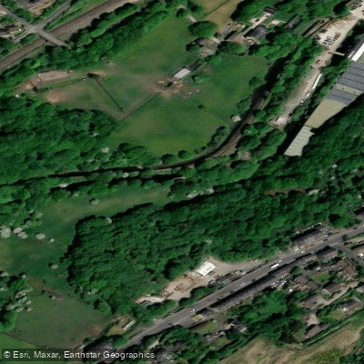
River Colne
- Boat Ramps
- 1
- Access Points
- 0
- Campsites
- 0
The River Colne is a tributary of the River Thames in southern England, flowing approximately 58 kilometres (36 miles) through Hertfordshire, Buckinghamshire, Greater London, and Surrey. Its source lies near Brookmans Park in Hertfordshire, and it meets the Thames at Staines. No paddling licence is required to paddle the river.
The river passes through the Colne Valley Regional Park, where between Rickmansworth in the north and Denham in the south it meanders alongside and through a series of lakes, running parallel to the Grand Union Canal. This stretch offers multiple put-in options, with the Rickmansworth Aquadrome — which has a large car park — considered one of the more accessible launch points. Paddlers can combine sections of the river with the Grand Union Canal to create loop routes. The Nomad Kayak Club, based at the Rickmansworth Aquadrome clubhouse, has used the river for organised trips, paddling from the aquadrome along the canal before joining the Colne near Frogmore Wharf.
Paddlers should be aware of overhanging trees that can partially block the river in places, and weirs are present along the course. One weir in particular has been noted as a point where an open canoe overturned during a club trip, though without serious injury. The river has documented litter and debris issues; organised clean-up events have repeatedly collected significant volumes of rubbish including plastics, glass, and other waste, suggesting ongoing water quality concerns.
The river is considered accessible to both novice and experienced paddlers. The Colne Valley setting provides a mix of natural and semi-urban character, with the river threading through a landscape of lakes and parkland.
Water access, boat ramps & amenities
Learn how to get on River Colne. Uncover great paddling access points, boat ramps, and all the facilities you need for an unforgettable day on the water. Some locations shown may border or include private property. Always check property boundaries and applicable regulations before visiting. PaddleWays's Public & Private Land layer can help you plan your access with confidence.
Paddle smarter with real-time insights
Whether you're en route and conditions shift or you're looking for the best spot based on current flows, we enable you to make informed decisions on the fly.








Find Places to Paddle

Over 400,000 Places to Paddle
Every user gets free access to launch points, boat ramps, and public property parcels.


Water and weather conditions (10 day forecast)
See the best times to paddle River Colne and check the forecast before you go.
Colne Bridge
All Flow Stations
Paddling near River Colne
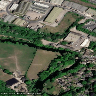
River Aire
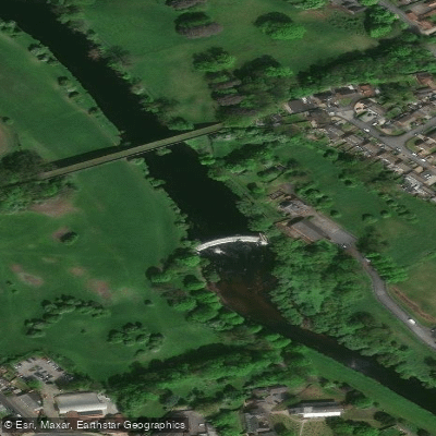
River Wharfe

HUMBER UPPER

River Dearne
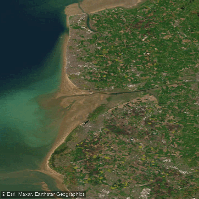
RIBBLE
River Nidd
River Don

HUMBER MIDDLE
Aire and Calder Navigation
Explore England waters
Top paddling waters
No waters available right now.
Popular Cities
Loading popular cities...
Explore near River Colne
Access points
Nearby waters
More in England

Smarter Paddling Starts in the App.
Paddleways gives you everything you need to plan smarter, paddle better, and own every trip from first launch to takeout.