River Nidd
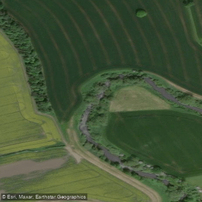
River Nidd
- Boat Ramps
- 0
- Access Points
- 0
- Campsites
- 5
The River Nidd flows through North Yorkshire, originating in the hills near Pateley Bridge and eventually joining the River Ouse. The river passes through the Nidderdale Area of Outstanding Natural Beauty, covering approximately 68 kilometres of paddleable water. The character of the river changes considerably along its length, making it suitable for a range of paddler abilities.
The upper sections near Pateley Bridge offer calm, gentle water well suited to beginners or those seeking a relaxed outing. The lower reaches from Hampsthwaite to Knaresborough are a commonly paddled stretch, where the river picks up pace and presents small rapids and obstacles appropriate for intermediate paddlers. Paddling through Knaresborough is particularly notable for the dramatic backdrop of the town's historic castle and cliffs. Further downstream, the river settles into calmer water as it approaches the York area.
A section of particular interest is the Nidd Gorge, located between Scotton and Bilton near the head of the gorge, which has been described as a mellow but scenic stretch. The Goldsborough to Kirk Hammerton section near Harrogate is another documented route. Weirs are present at various points along the river — some historic mill weirs, others more modern flood management structures — and paddlers should identify their locations and assess conditions before setting out. Water levels on the river can rise and fall quickly without warning, and the water can be cold.
The river corridor supports water-loving wildlife including herons, otters, and kingfishers. The surrounding landscape includes woodlands and farmland throughout much of the route. Bewerley Park Outdoor Centre offers guided canoeing activities for beginners on the nearby Glasshouses Mill Dam, and How Stean Gorge organises group paddling sessions in the area.
Paddlers planning trips should check river levels in advance and identify the locations of weirs along their intended route. A British Canoeing membership includes a waterways licence covering access to designated stretches of UK waterways, which is relevant for planning access on the Nidd.
Water access, boat ramps & amenities
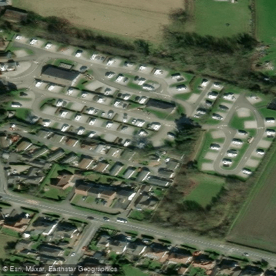
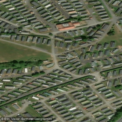
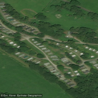
Learn how to get on River Nidd. Uncover great paddling access points, boat ramps, and all the facilities you need for an unforgettable day on the water. Some locations shown may border or include private property. Always check property boundaries and applicable regulations before visiting. PaddleWays's Public & Private Land layer can help you plan your access with confidence.
Paddle smarter with real-time insights
Whether you're en route and conditions shift or you're looking for the best spot based on current flows, we enable you to make informed decisions on the fly.








Find Places to Paddle

Over 400,000 Places to Paddle
Every user gets free access to launch points, boat ramps, and public property parcels.


Water and weather conditions (10 day forecast)
See the best times to paddle River Nidd and check the forecast before you go.
Birstwith
All Flow Stations
Paddling near River Nidd
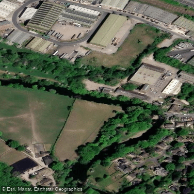
River Aire
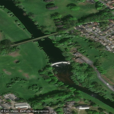
River Wharfe

HUMBER UPPER
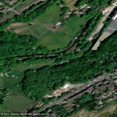
River Colne
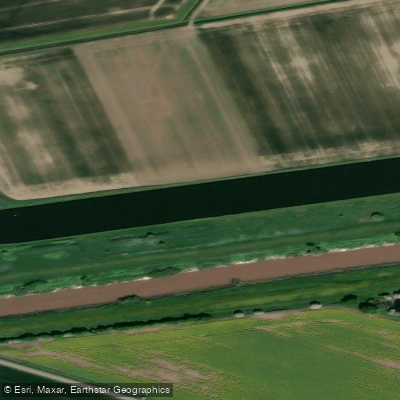
Aire and Calder Navigation

HUMBER MIDDLE

River Dearne
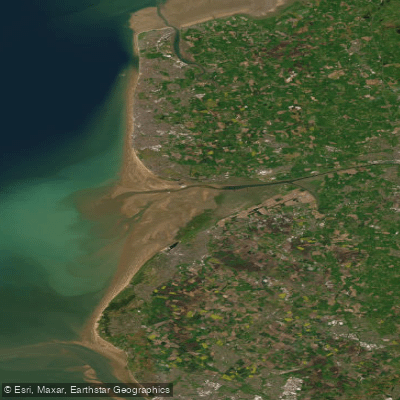
RIBBLE
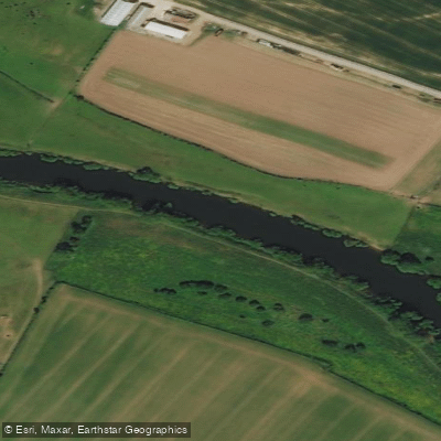
River Ouse
Explore England waters
Top paddling waters
No waters available right now.
Popular Cities
Loading popular cities...
Explore near River Nidd

Smarter Paddling Starts in the App.
Paddleways gives you everything you need to plan smarter, paddle better, and own every trip from first launch to takeout.