River Ouse
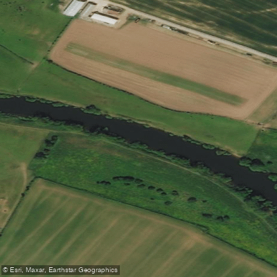
River Ouse
- Boat Ramps
- 1
- Access Points
- 1
- Campsites
- 5
The River Ouse in Yorkshire, England, is a substantial river approximately 52 miles (84 km) in length, though hydrologically it is considered a continuation of the River Ure, making the combined waterway around 129 miles (208 km) — the sixth-longest river in the United Kingdom. The Ouse forms at Cuddy Shaw Reach near Linton-on-Ouse and flows through the city of York before continuing through Selby and Goole, where it joins the River Trent at Trent Falls to form the Humber Estuary.
The river is navigable throughout its entire length, making it well-suited for touring paddlers and multi-day adventures. The stretch from Linton to Goole is managed by the Canal & River Trust, and a Paddle UK membership covers the licence required to paddle this section. Below Goole toward Trent Falls, navigation authority passes to Associated British Ports. Paddlers should be aware that the river is tidal up to Naburn, and the tidal bore in this lower section is known locally as "the Aegir." Given the river's size and exposure in parts, checking weather, wind, and water levels before heading out is strongly advised.
At Linton Lock there is a weir, and adjacent to it is a White Water Facility that combines hydro power, fish passage, and a short white water course. Paddlers are strongly advised to exit the river before this course, above the weir. The weir and course can be portaged on either bank. Linton Weir is also noted as a popular spot for playboaters.
A popular day trip runs through the city of York, covering approximately 4.5 miles (7.2 km) and taking around two hours. One starting point is near Rowntree Park, with paddlers heading north into the city. Along this stretch, paddlers pass under Skeldergate Bridge, a Gothic-style structure that opened in 1881, and can observe historic city walls and other architecture dating back to the Roman settlement of Eboracum, founded in AD 71. The river is quite large through York and offers a distinctive urban paddling experience with significant historical context visible from the water.
Water access, boat ramps & amenities
Learn how to get on River Ouse. Uncover great paddling access points, boat ramps, and all the facilities you need for an unforgettable day on the water. Some locations shown may border or include private property. Always check property boundaries and applicable regulations before visiting. PaddleWays's Public & Private Land layer can help you plan your access with confidence.
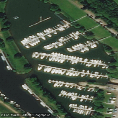
Paddle smarter with real-time insights
Whether you're en route and conditions shift or you're looking for the best spot based on current flows, we enable you to make informed decisions on the fly.








Find Places to Paddle

Over 400,000 Places to Paddle
Every user gets free access to launch points, boat ramps, and public property parcels.


Water and weather conditions (10 day forecast)
See the best times to paddle River Ouse and check the forecast before you go.
Clifton Ings Intake
All Flow Stations
Paddling near River Ouse
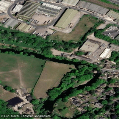
River Aire
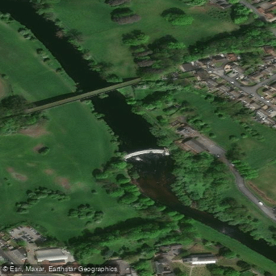
River Wharfe

HUMBER UPPER
River Colne
Aire and Calder Navigation

HUMBER MIDDLE

River Dearne
River Nidd
RIBBLE
Explore England waters
Top paddling waters
No waters available right now.
Popular Cities
Loading popular cities...
Explore near River Ouse

Smarter Paddling Starts in the App.
Paddleways gives you everything you need to plan smarter, paddle better, and own every trip from first launch to takeout.