Tullaghan Bay
- Saltwater
- Estuary
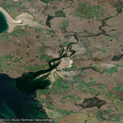
Tullaghan Bay
- Saltwater
- Estuary
- Sq. miles
- 6.6
- Boat Ramps
- 0
- Access Points
- 0
- Campsites
- 0
Tullaghan Bay is a coastal estuary located on the Belmullet Peninsula in County Mayo, Ireland, forming part of the larger Blacksod Bay complex. The bay has historical significance as the site where the Spanish Armada ship La Rata ran aground in 1588. The surrounding landscape includes a bog, contributing to a remote and exposed coastal character typical of the western Irish coast. The presence of the Tullaghan Bay Rowing Club indicates the bay is an established location for human-powered watercraft, including rowing, kayaking, and stand-up paddleboarding. The bay is subject to strong tidal currents, as historical accounts note that currents from the nearby Achill Sound contributed to the grounding of La Rata. This suggests that paddlers must carefully plan trips around the tide stage, as currents can be a significant factor, particularly near the estuary's connection to the open waters of Blacksod Bay. The area is exposed to Atlantic weather systems, meaning wind and wave conditions can change rapidly, and there is likely a fetch for wind-driven waves to build within the bay. The existence of an active rowing club implies a community-used put-in, likely suitable for kayaks and SUPs. The water is saltwater, and general cleanliness is typical of an Atlantic coastal environment. The aesthetic is one of a wild, bog-backed shoreline on the edge of the open ocean, offering views across to the Mullet Peninsula and the islands of Blacksod Bay. Paddlers should be aware of potential boat traffic from local rowing clubs and other marine users. Due to the exposed nature and strong currents, this area is recommended for experienced paddlers with appropriate coastal skills and local tide knowledge.
Water access, boat ramps & amenities
Learn how to get on Tullaghan Bay. Uncover great paddling access points, boat ramps, and all the facilities you need for an unforgettable day on the water. Some locations shown may border or include private property. Always check property boundaries and applicable regulations before visiting. PaddleWays's Public & Private Land layer can help you plan your access with confidence.
Paddle smarter with real-time insights
Whether you're en route and conditions shift or you're looking for the best spot based on current flows, we enable you to make informed decisions on the fly.







Co. Mayo licenses and regulations
No licenses or regulations available for Co. Mayo.
Find Places to Paddle

Over 400,000 Places to Paddle
Every user gets free access to launch points, boat ramps, and public property parcels.


Tides, wind & water conditions (10 day forecast)
On open water, wind and tide matter as much as the weather. See the best times to paddle Tullaghan Bay and check the marine forecast before you launch.
Loading tide predictions…
Paddling near Tullaghan Bay
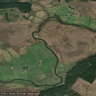
Deel [Crossmolina]
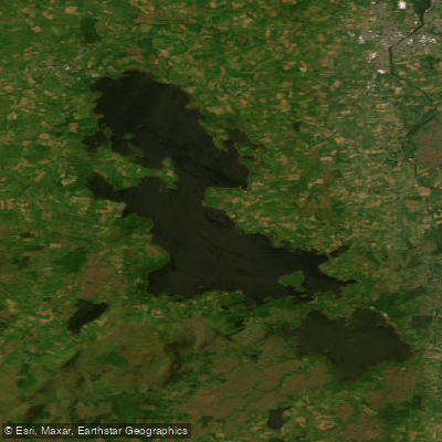
Lough Conn
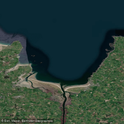
Killala Bay

Suck

Lough Corrib
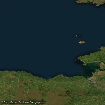
Donegal Bay Southern
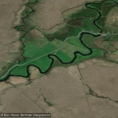
Owenmore [Mayo]
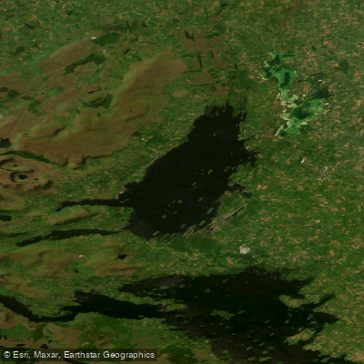
Lough Mask
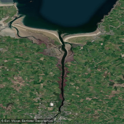
Moy Estuary
Boyle
Explore Mayo waters
Top paddling waters
No waters available right now.
Popular Cities
Loading popular cities...
Explore near Tullaghan Bay

Smarter Paddling Starts in the App.
Paddleways gives you everything you need to plan smarter, paddle better, and own every trip from first launch to takeout.