Paddling in Fiordland National Park
- National Park
- Lakes
- 166
- Rivers
- 51
- Access
- 0
- Boat Ramps
- 4
- Shops
- 0
Fiordland National Park occupies the southwestern corner of New Zealand's South Island, a landscape of drowned glacial valleys, ancient beech forest, and some of the highest annual rainfall on earth.
The water here is everywhere — in the fiords, the lakes, the rivers threading down from the ranges — and paddling is one of the few ways to move through it at the pace it deserves. The fiords are the signature paddling environment.
Milford Sound and Doubtful Sound are the two most-travelled, both accessible by guided sea kayak. Milford's sheltered geometry keeps the water typically calm, and paddling at sea level reframes the scale of the walls around you in a way no boat deck does.
Doubtful Sound suits multi-day trips — four to five hours of paddling per day is a reasonable pace — with camping in the forest behind the shoreline. Kayaking in the fiords is guided-only; all equipment is provided on commercial trips.
Lake Te Anau and Lake Manapouri anchor the freshwater paddling. Te Anau is divided into three arms.
The North West Arm runs roughly 20 km and reaches the Glaisnock Hut; the Middle Fiord section, also around 20 km, can run rough but has sheltered bays and islands; the South Arm extends about 22 km with walking tracks and a jetty at Mussel Cove.
The Murchison Mountains — including the southern side of Middle Fiord and the north side of the South Arm — are closed to the public as a protected takahē area.
Limited special access permits are available between December and February; contact the Fiordland National Park Visitor Centre. Access to Te Anau's arms is from Te Anau Downs, 30 km north of Te Anau.
Lake Manapouri offers sheltered island-hopping, sandy beaches, and hut access along its shores. Didymo is present in Lake Te Anau.
Any kayak or packraft used there, or anywhere else didymo has been confirmed, must be thoroughly cleaned before entering Lake Hankinson — the lake reached by a 45-minute portage from Te Anau's North West Arm, and currently didymo-free. This is not optional.
The Hollyford River and the Waiau River are the named river options, both running through native forest and mountain terrain.
Some less-visited areas within the park require a permit to access; check with the Fiordland National Park Visitor Centre before planning routes into remote drainages. Fiordland's weather shifts fast and hits hard.
The fiords are wet by design — that rain is what keeps the waterfalls running — but conditions on the lakes and open water can deteriorate quickly. Build margin into any itinerary here, because the park will use it.
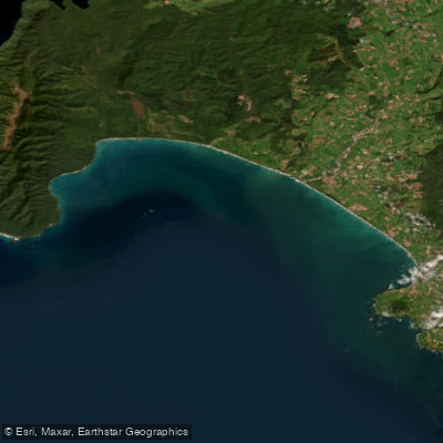
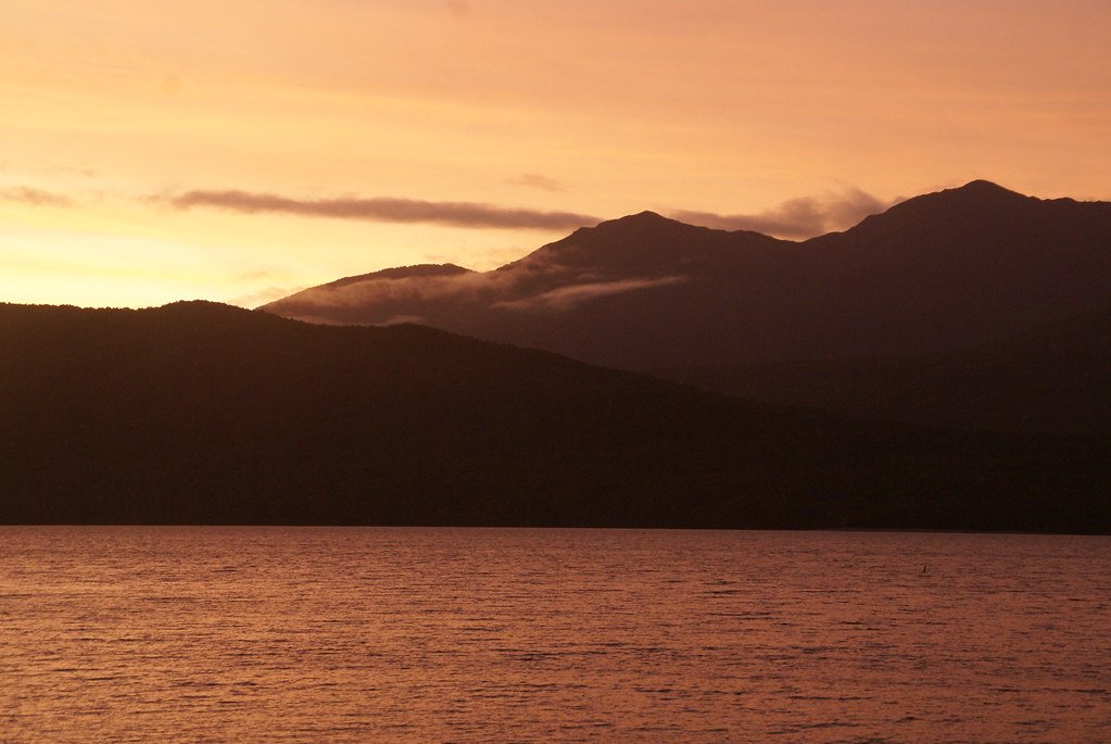
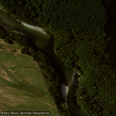
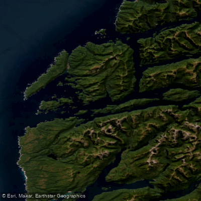
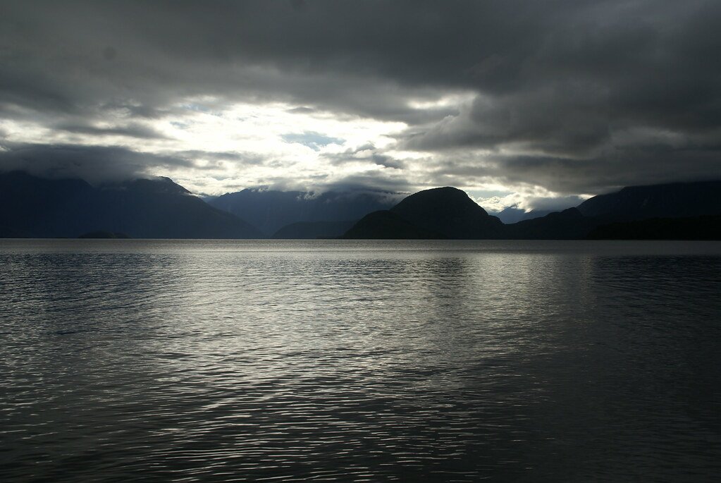
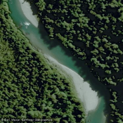
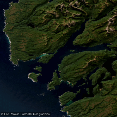
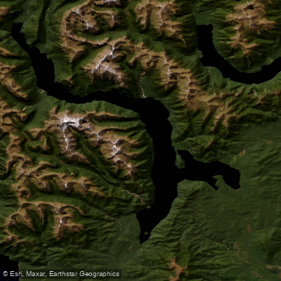
Top waters to paddle near Fiordland National Park
Water and weather conditions (10 day forecast)
See the best times to paddle Fiordland National Park and check the forecast before you go.
No forecast data available.
Paddle smarter with real-time insights
Whether you're en route and conditions shift or you're looking for the best spot based on current flows, we enable you to make informed decisions on the fly.







Paddling near Fiordland National Park
Loading...
Gateway towns
Where to base yourself for paddling in Fiordland National Park.
- Te AnauSouthland
The main gateway town for Fiordland, with lodging, outfitters, Great Walk permits, and the road to Milford Sound.
- ManapouriSouthland
Small lakeside town near the park's southern edge, serving as the launch point for Doubtful Sound trips.
Explore Fiordland National Park
Top paddling waters
Popular Cities
Loading popular cities...

Smarter Paddling Starts in the App.
Paddleways gives you everything you need to plan smarter, paddle better, and own every trip from first launch to takeout.