Pyke River
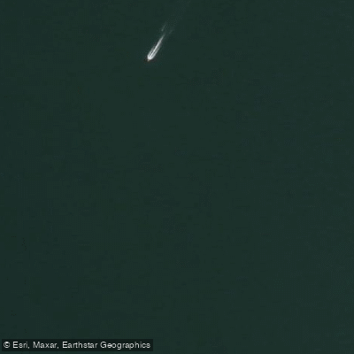
Pyke River
- Boat Ramps
- 0
- Access Points
- 0
- Campsites
- 0
The Pyke River flows generally southward through the southwest corner of New Zealand's South Island, beginning at the confluence of Sealy Stream and Trinity Creek in Mount Aspiring National Park before passing through Fiordland National Park after meeting the Olivine River. It drains into Lake Wilmot, then Lake Alabaster, and ultimately joins the Hollyford River as a tributary. Its Māori name is Kaoreore.
The river is most commonly paddled as part of the Hollyford-Pyke Loop, a 5–6 day packrafting circuit that begins and ends at the Hollyford Road End near Gunn Camp. The Pyke section is typically paddled upstream to downstream, from the Big Bay coast crossing at Pyke Crossing through to Lake Alabaster and on to the Hollyford confluence, rated Class I with some Class II characteristics. The water is notably crystal clear in the upper reaches, with visibility to the riverbed giving a distinctive sensation of floating over rocks. Below Lake Wilmot, the flow slows and the water becomes more turbid. The river passes through dense beech forest and supports native eels and a variety of bird species including kākā, kea, mohua, and New Zealand falcon.
A significant practical consideration is didymo (Didymosphenia geminata): the Hollyford River, Lake McKerrow, and the southern end of Lake Alabaster are affected, while the Pyke River is currently didymo-free. The Department of Conservation recommends paddling the Hollyford first and the Pyke second, cleaning vessels thoroughly between the two using MPI guidelines, to avoid spreading didymo into the Pyke system.
Log hazards and strainers are present, particularly near the confluence with the Hollyford. Flooding is common throughout the area and can make travel impossible for days; paddlers should plan for delays and carry extra food. The Fiordland region receives approximately seven meters of rainfall annually, so wet weather should be expected at any time of year. Weather windows matter considerably for this trip, as the experience is oriented around views rather than whitewater.
Hut accommodation is available along the route, including Olivine Hut (recently rebuilt in 2025), Lake Alabaster Hut, and others on the Hollyford Track. A well-maintained track follows the river for approximately 1.2 km from the road end to the main channel, and a two-hour hike along the Hollyford Track returns paddlers to the road end at the conclusion of the loop.
Water access, boat ramps & amenities
Learn how to get on Pyke River. Uncover great paddling access points, boat ramps, and all the facilities you need for an unforgettable day on the water. Some locations shown may border or include private property. Always check property boundaries and applicable regulations before visiting. PaddleWays's Public & Private Land layer can help you plan your access with confidence.
Paddle smarter with real-time insights
Whether you're en route and conditions shift or you're looking for the best spot based on current flows, we enable you to make informed decisions on the fly.







Southland licenses and regulations
No licenses or regulations available for Southland.
Find Places to Paddle

Over 400,000 Places to Paddle
Every user gets free access to launch points, boat ramps, and public property parcels.


Water and weather conditions (10 day forecast)
See the best times to paddle Pyke River and check the forecast before you go.
No forecast data available.
Paddling near Pyke River
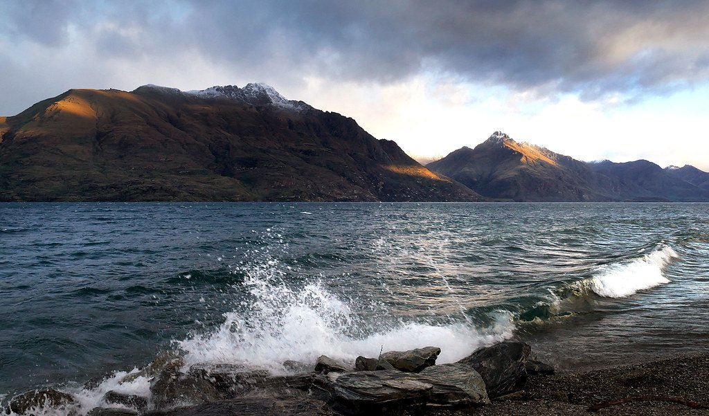
Lake Wakatipu
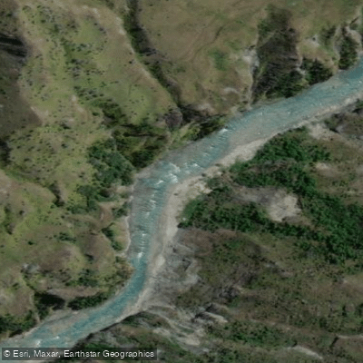
Shotover River
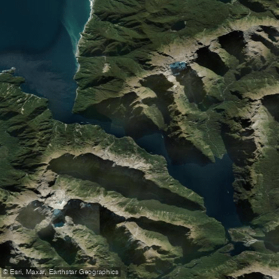
Milford Sound / Piopiotahi
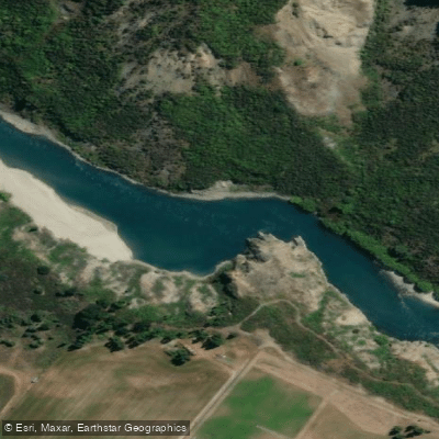
Kawarau River
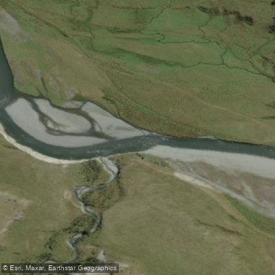
Greenstone River
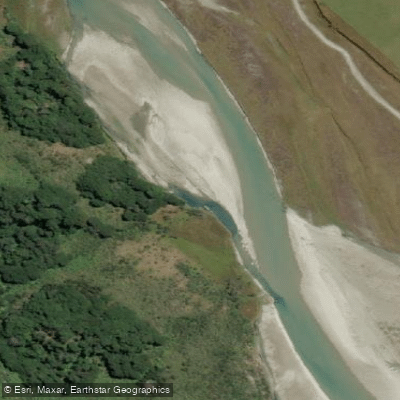
Rees River
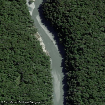
Dart River / Te Awa Whakatipu
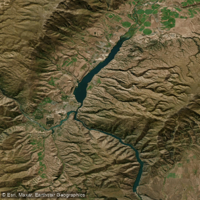
Lake Dunstan

Clutha River / Mata-Au
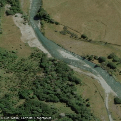
Caples River
Explore Southland waters
Top paddling waters
No waters available right now.
Popular Cities
Loading popular cities...
Explore near Pyke River

Smarter Paddling Starts in the App.
Paddleways gives you everything you need to plan smarter, paddle better, and own every trip from first launch to takeout.