Hollyford River / Whakatipu Kā Tuka
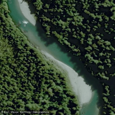
Hollyford River / Whakatipu Kā Tuka
- Boat Ramps
- 0
- Access Points
- 0
- Campsites
- 0
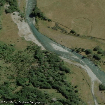
The Hollyford River, known in Māori as Whakatipu Kā Tuka, flows through Fiordland in New Zealand's South Island, originating near Marian Corner where State Highway 94 (the Milford Sound Highway) meets the river. The surrounding landscape is defined by large snowy peaks, towering native beech trees, and exceptionally clear water — visibility to the riverbed is striking, with deep pools inhabited by native eels.
A well-regarded put-in for the Marian Creek Run begins at the Lake Marian parking area, reached by turning off Highway 94 onto Hollyford Track and continuing 1.1 km. The standard take-out is approximately 7 km downriver at Gunn Camp, where paddlers have historically asked permission to park. An alternative take-out exists a kilometer or so upstream of Gunn Camp to avoid the third canyon section.
The Marian Creek Run is considered a New Zealand classic and is regarded as a must-do for paddlers visiting the region. The river presents meaningful technical challenges: significant wood and tree strainers require constant maneuvering, and some strainer sections can appear nearly impassable on approach before revealing narrow lines through. Little Homer Rapid is a notable feature that is typically portaged on river right, continuing until near a large boulder where the exit becomes clear. One particularly serious hazard is a sieve where a substantial volume of water disappears beneath a house-sized rock — this feature should be scouted from the left, with the exit line running far left. An adjacent downstream rapid also warrants caution due to a crack feature at its exit.
Higher water levels on the Hollyford can actually be advantageous for navigating around wood in the river, providing slightly more clearance. The river is part of the longer Hollyford-Pyke Loop, a multi-day packrafting route that continues from the Hollyford Road End through to Lake McKerrow, Martins Bay, and eventually connects to the Pyke River system — a trip that takes approximately five days. The Hollyford Road End serves as both the start and finish point for this loop.
The area sits within Fiordland National Park, and the drive from the river toward Milford Sound — less than an hour away — is considered among the most scenic roads in the region.
Water access, boat ramps & amenities
Learn how to get on Hollyford River / Whakatipu Kā Tuka. Uncover great paddling access points, boat ramps, and all the facilities you need for an unforgettable day on the water. Some locations shown may border or include private property. Always check property boundaries and applicable regulations before visiting. PaddleWays's Public & Private Land layer can help you plan your access with confidence.
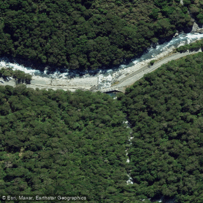
Paddle smarter with real-time insights
Whether you're en route and conditions shift or you're looking for the best spot based on current flows, we enable you to make informed decisions on the fly.







Southland licenses and regulations
No licenses or regulations available for Southland.
Find Places to Paddle

Over 400,000 Places to Paddle
Every user gets free access to launch points, boat ramps, and public property parcels.


Water and weather conditions (10 day forecast)
See the best times to paddle Hollyford River / Whakatipu Kā Tuka and check the forecast before you go.
No forecast data available.
Paddling near Hollyford River / Whakatipu Kā Tuka
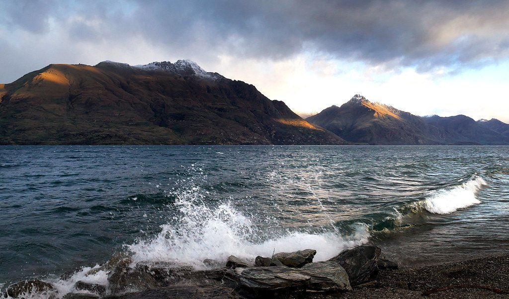
Lake Wakatipu
Shotover River
Milford Sound / Piopiotahi
Kawarau River
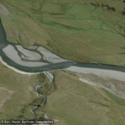
Greenstone River
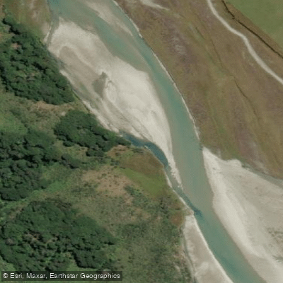
Rees River
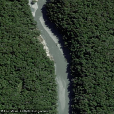
Dart River / Te Awa Whakatipu
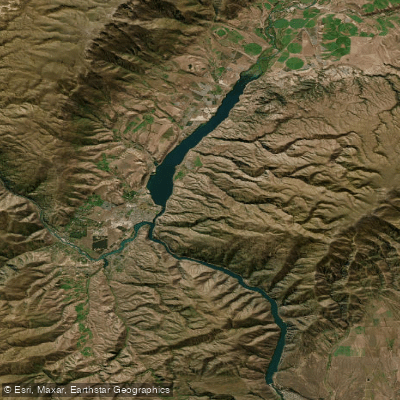
Lake Dunstan

Clutha River / Mata-Au
Caples River
Explore Southland waters
Top paddling waters
No waters available right now.
Popular Cities
Loading popular cities...
Explore near Hollyford River / Whakatipu Kā Tuka

Smarter Paddling Starts in the App.
Paddleways gives you everything you need to plan smarter, paddle better, and own every trip from first launch to takeout.