Rakituma / Preservation Inlet
- Saltwater
- Inlet
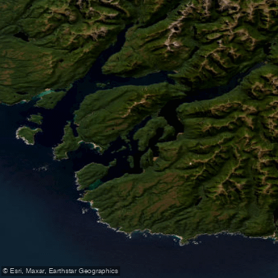
Rakituma / Preservation Inlet
- Saltwater
- Inlet
- Sq. miles
- 38
- Boat Ramps
- 0
- Access Points
- 0
- Campsites
- 0
Rakituma / Preservation Inlet is the southernmost fiord within Fiordland National Park, a complex coastal inlet system opening to the Tasman Sea. It is a remote and exposed marine environment, characterized by a main body connected to the sea by two passages separated by Coal Island. The northern passage is the main entry, approximately 1.67 kilometres wide at its narrowest point, while Otago Retreat to the south of Coal Island is narrower, with a minimum width of just 375 metres. The fiord's geography includes numerous islands such as Coal Island, Only Islands, and Cording Islands, and features several sub-basins including Te Awaroa / Long Sound, Useless Bay, Revolver Bay, Isthmus Sound, and Otago Retreat. The overall area of the inlet is 93 square kilometres. Paddling here is a wilderness experience with minimal infrastructure; there are no described dedicated launch facilities or amenities for paddlers. Access is typically via boat or ship, and the area is noted for having a relatively low level of human activity compared to other Fiordland sounds. The environment is ecologically sensitive, with specific protections in place. Notably, "The Narrows" within Te Awaroa / Long Sound is designated as a "china shop" habitat, an area with delicate black coral and sea pen communities where anchoring and lobster potting are restricted to prevent damage. General guidelines for Fiordland advise paddlers to exercise caution around marine life, as corals are protected species and should not be touched. The area is also within the known range of a southern subpopulation of bottlenose dolphins, though no specific vessel interaction rules for paddlers are detailed for this inlet. The historical significance of the area includes early 19th-century shore whaling at Port Bunn and a brief 19th-century settlement attempt at Cromarty.
Water access, boat ramps & amenities
Learn how to get on Rakituma / Preservation Inlet. Uncover great paddling access points, boat ramps, and all the facilities you need for an unforgettable day on the water. Some locations shown may border or include private property. Always check property boundaries and applicable regulations before visiting. PaddleWays's Public & Private Land layer can help you plan your access with confidence.
Paddle smarter with real-time insights
Whether you're en route and conditions shift or you're looking for the best spot based on current flows, we enable you to make informed decisions on the fly.







Southland licenses and regulations
No licenses or regulations available for Southland.
Find Places to Paddle

Over 400,000 Places to Paddle
Every user gets free access to launch points, boat ramps, and public property parcels.


Tides, wind & water conditions (10 day forecast)
On open water, wind and tide matter as much as the weather. See the best times to paddle Rakituma / Preservation Inlet and check the marine forecast before you launch.
Loading tide predictions…
Paddling near Rakituma / Preservation Inlet
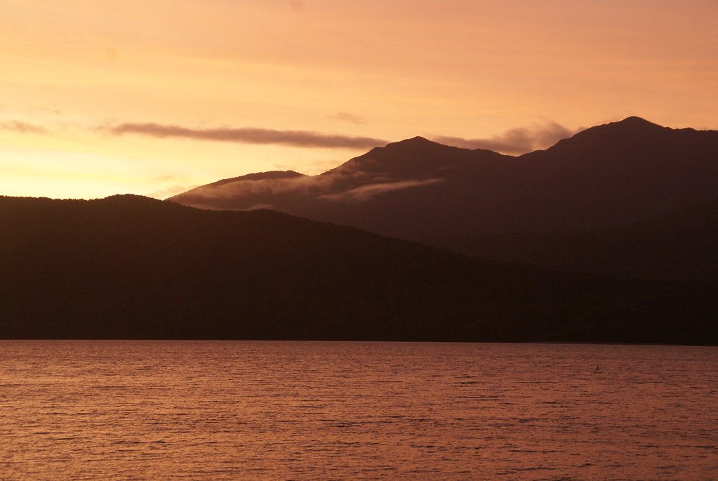
Lake Te Anau
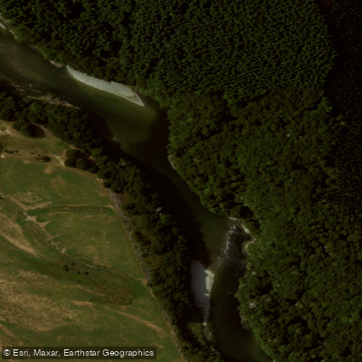
Waiau River
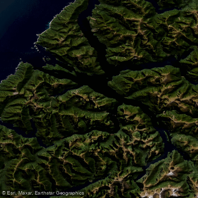
Doubtful Sound / Patea
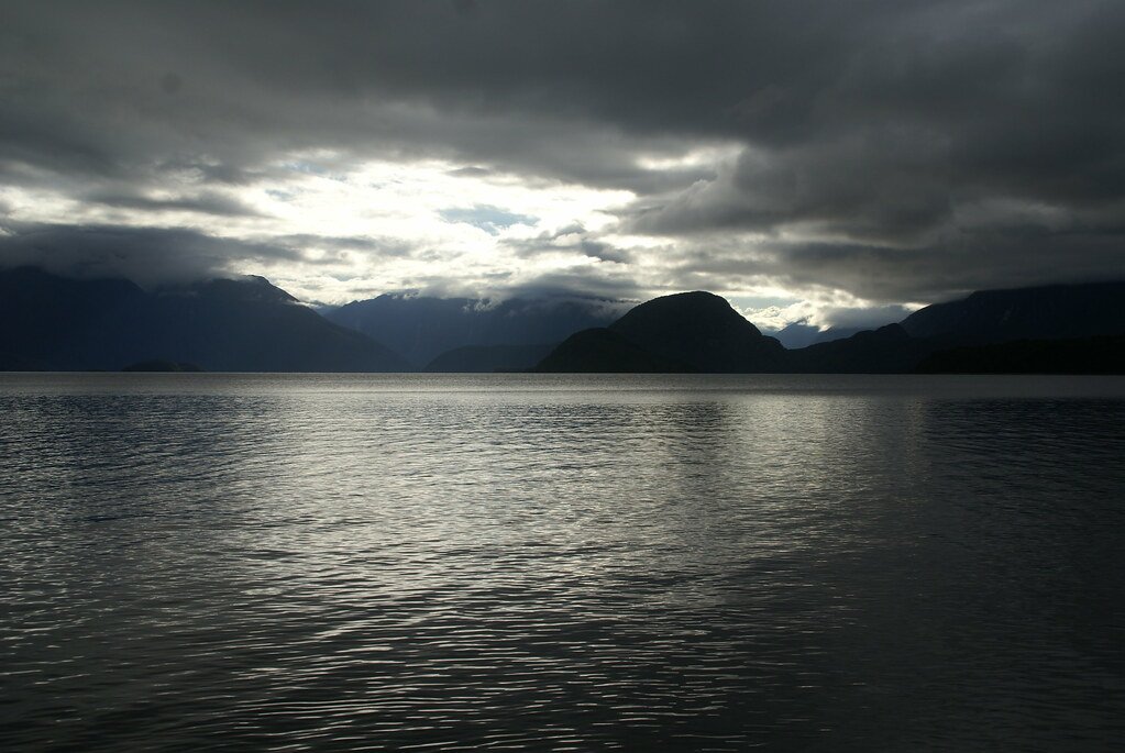
Lake Manapouri
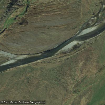
Mararoa River
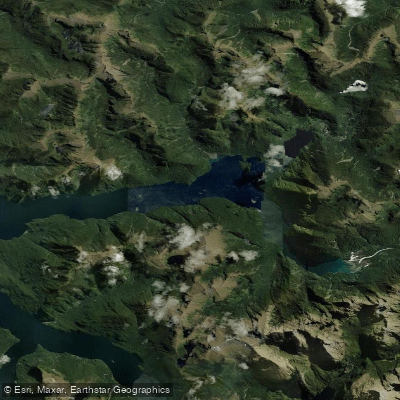
Kaikiekie / Bradshaw Sound
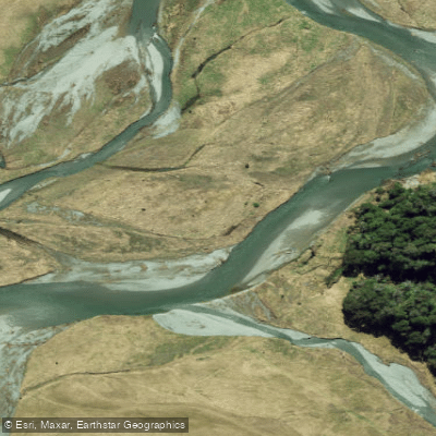
Eglinton River West Branch
Eglinton River
Kutupārera / Gaer Arm
Lake Monowai
Explore Southland waters
Top paddling waters
No waters available right now.
Popular Cities
Loading popular cities...
Explore near Rakituma / Preservation Inlet

Smarter Paddling Starts in the App.
Paddleways gives you everything you need to plan smarter, paddle better, and own every trip from first launch to takeout.