Arthur River
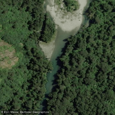
Arthur River
- Boat Ramps
- 0
- Access Points
- 0
- Campsites
- 0
The Arthur River flows through Fiordland National Park on New Zealand's South Island, draining from Lake Ada into Milford Sound/Piopiotahi. The river runs through an ancient glacial valley, its course shaped by resistant rock formations, shifting sediment, and notably by a large earthquake that triggered landslides creating the boulder-choked rapids that define the whitewater sections. The water is described as remarkably clear and fast-flowing, with a slight natural tint from vegetation and fine glacial silt.
Paddling the Arthur River is subject to strict regulations. Access is only permitted as far as Lake Ada, and paddlers must hold a permit issued by the Fiordland National Park Visitor Centre. The put-in is reached by crossing Deepwater Basin, accessed via the boat ramp off Deepwater Basin Road in Milford Sound. Because Deepwater Basin is partially fed by the Cleddau River, which is already infected with didymo (Didymosphenia geminata), all paddlers must thoroughly clean their vessels before entering the Arthur River to prevent the spread of this invasive algae. Permits are required, and the didymo contamination risk means strict biosecurity protocols apply.
The whitewater character is defined by two major rapids, both formed by earthquake-triggered landslides. The entrances to these rapids are tight and technical, cluttered with boulders that back up the water. Between the rapids there is a notable stretch of slack water. The style does not fit neatly into a single category — the boulder-strewn nature of the drops creates demanding, technical lines. Lake Ada sits at the top of the navigable section, formed by the same boulder debris that creates the upper rapid.
The surrounding environment is quintessential Fiordland: dense beech forest, towering peaks, and abundant waterfalls. The river valley also forms part of the Milford Track corridor, one of New Zealand's most famous walking routes, and features historic rock cuttings blasted by hand when the track was first constructed in the late 1800s. Giant Gate Falls, a 30-metre waterfall that plunges into pools before draining toward the Arthur River, is a notable landmark in the lower valley. Sandflies are extremely numerous in the area and should be anticipated throughout any visit. This section of track and river can flood during heavy rain, which may cause delays or closures.
Water access, boat ramps & amenities
Learn how to get on Arthur River. Uncover great paddling access points, boat ramps, and all the facilities you need for an unforgettable day on the water. Some locations shown may border or include private property. Always check property boundaries and applicable regulations before visiting. PaddleWays's Public & Private Land layer can help you plan your access with confidence.
Paddle smarter with real-time insights
Whether you're en route and conditions shift or you're looking for the best spot based on current flows, we enable you to make informed decisions on the fly.







Southland licenses and regulations
No licenses or regulations available for Southland.
Find Places to Paddle

Over 400,000 Places to Paddle
Every user gets free access to launch points, boat ramps, and public property parcels.


Water and weather conditions (10 day forecast)
See the best times to paddle Arthur River and check the forecast before you go.
No forecast data available.
Paddling near Arthur River
Lake Te Anau
Waiau River
Doubtful Sound / Patea
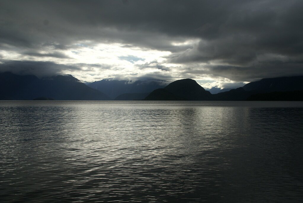
Lake Manapouri
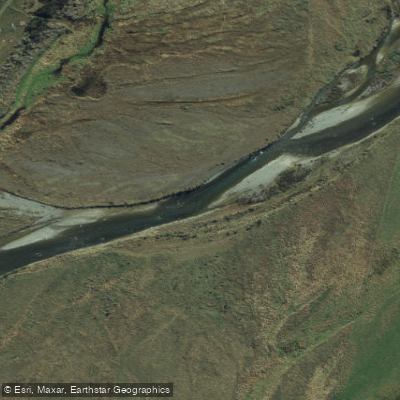
Mararoa River
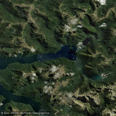
Kaikiekie / Bradshaw Sound
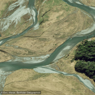
Eglinton River West Branch
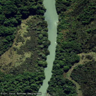
Eglinton River
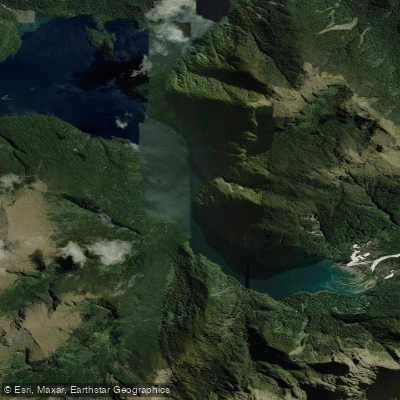
Kutupārera / Gaer Arm
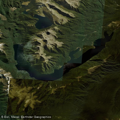
Lake Monowai
Explore Southland waters
Top paddling waters
No waters available right now.
Popular Cities
Loading popular cities...
Explore near Arthur River

Smarter Paddling Starts in the App.
Paddleways gives you everything you need to plan smarter, paddle better, and own every trip from first launch to takeout.