Windley River
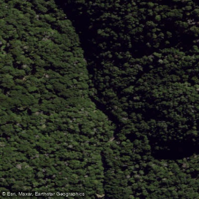
Windley River
- Boat Ramps
- 0
- Access Points
- 0
- Campsites
- 0
The Windley River is a grade II/III packrafting run located in the southwest of the Eyre Mountains/Taka Ra Haka Conservation Park in New Zealand's Southland region. The river flows through a narrow, winding creek character and ultimately joins the Oreti River. The trip is well-suited to a weekend adventure given its overall length and approach terrain.
The standard route begins with a float down the Oreti River (grade I) from where Mt Nicholas Road crosses the Oreti, taking approximately one hour depending on flows, until reaching the Ashton Burn confluence. From there, the first day involves travel over mellow alpine terrain before camping. On the second day, roughly one hour of walking down the river leads to the first major confluence, which is the recommended put-in point, though paddling above this confluence is possible with sufficient water levels.
The first kilometre or so below the confluence passes through gorge sections rated grade III, all of which are easily scoutable from the forest. The river then eases into grade II/II+ read-and-run paddling for a stretch before the next significant confluence joining from the east, where a few more clean grade III drops appear. These drops are described as simple and enjoyable.
Water levels are an important consideration. The monitoring station on the Oreti River at Three Kings serves as a useful gauge indicator; a reading of around 8 cumecs represents approximately average flow. Running the river below this level is not recommended, as low water makes for an uncomfortable experience.
The takeout is at an old gravel pit on Center Hill Road, approximately 2km north of the Windley/Oreti confluence, which has recently been incorporated into a cycle trail. A shuttle vehicle or bicycle can be left there.
The Windley River corridor is also a designated trout fishery managed by Fish & Game New Zealand, with specific beats along the lower river. Anglers may access the river via the West Dome Forestry Road, so paddlers should be aware of other users in the area. The upper Oreti and Windley system is part of the Upper Oreti Backcountry Fishery, which operates under a designated waters licence system.
Water access, boat ramps & amenities
Learn how to get on Windley River. Uncover great paddling access points, boat ramps, and all the facilities you need for an unforgettable day on the water. Some locations shown may border or include private property. Always check property boundaries and applicable regulations before visiting. PaddleWays's Public & Private Land layer can help you plan your access with confidence.
Paddle smarter with real-time insights
Whether you're en route and conditions shift or you're looking for the best spot based on current flows, we enable you to make informed decisions on the fly.







Southland licenses and regulations
No licenses or regulations available for Southland.
Find Places to Paddle

Over 400,000 Places to Paddle
Every user gets free access to launch points, boat ramps, and public property parcels.


Water and weather conditions (10 day forecast)
See the best times to paddle Windley River and check the forecast before you go.
No forecast data available.
Paddling near Windley River
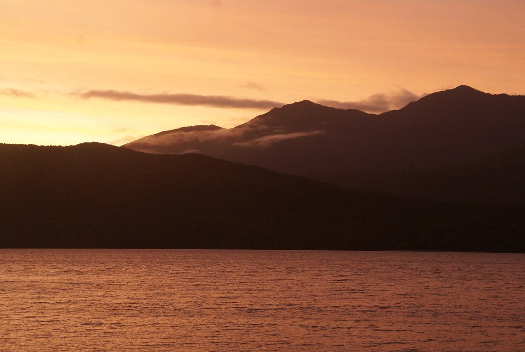
Lake Te Anau
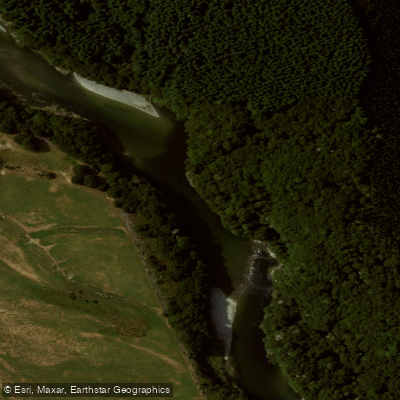
Waiau River
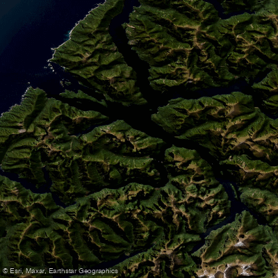
Doubtful Sound / Patea
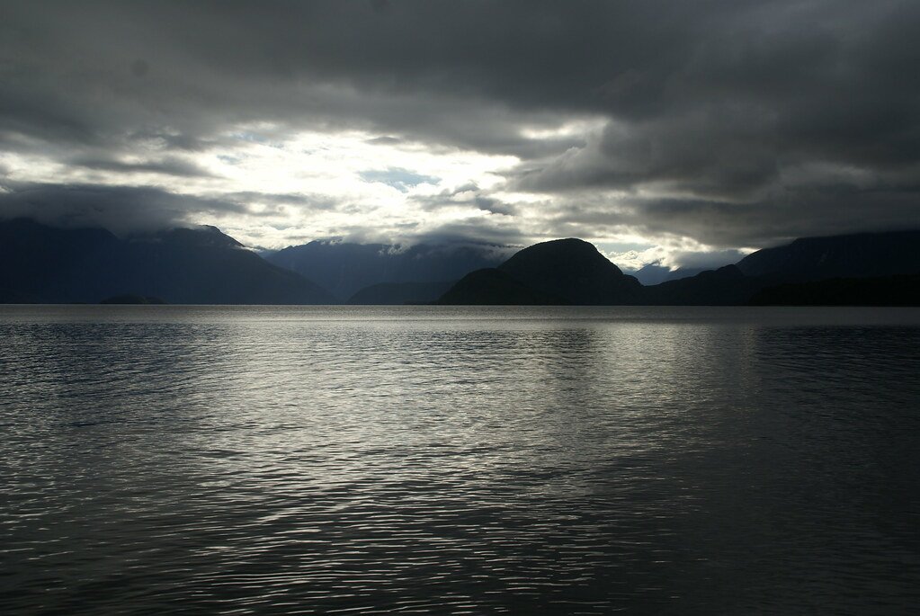
Lake Manapouri
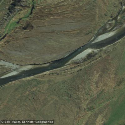
Mararoa River
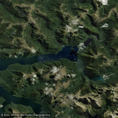
Kaikiekie / Bradshaw Sound
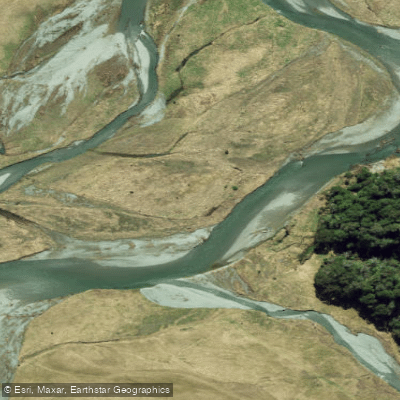
Eglinton River West Branch
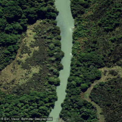
Eglinton River
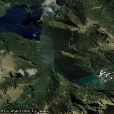
Kutupārera / Gaer Arm
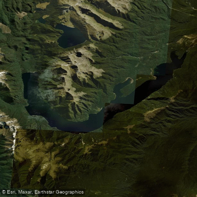
Lake Monowai
Explore Southland waters
Top paddling waters
No waters available right now.
Popular Cities
Loading popular cities...
Explore near Windley River

Smarter Paddling Starts in the App.
Paddleways gives you everything you need to plan smarter, paddle better, and own every trip from first launch to takeout.