Curated by PaddleWays
RouteClass II
- Distance
- 4.1 mi
- Paddle time
- ~1.5 hrs
- Best for
- Beginners
- Put-in → take-out
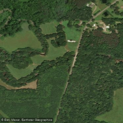
- Curry Highway Access → Walston Bridge Road Access
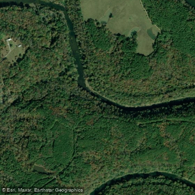
Blackwater Creek flows through Walker and Winston Counties in north-central Alabama as a tributary of the Mulberry Fork of the Black Warrior River. This creek system drains portions of the Appalachian Plateau region, characterized by sandstone formations, mixed hardwood-pine forests, and relatively clear waters when conditions are favorable.
The paddling opportunities on Blackwater Creek center on three documented sections. The most popular run extends from State Route 95 to Walston Bridge, covering approximately 8.9 miles of Class I-II whitewater suitable for novice to intermediate paddlers. This section features gentle shoals and riffles interspersed with calmer pools, making it accessible for recreational kayakers and canoeists during appropriate water levels. A shorter 4-mile segment runs from Curry Highway (AL 257) to Walston Bridge Road, while another section connects AL Highway 69 to US Highway 78 for 8.8 miles. These routes typically require recent rainfall to maintain adequate flow, with the primary paddling season running from late fall through spring, particularly December through May.
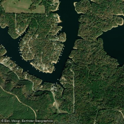
Access points include launches near Jasper in Walker County, with the AL Highway 69 access point located off Massachusetts Avenue and the Curry Highway access off Camp O'Rear Road. These facilities provide gravel parking areas with varying capacities for vehicles and trailers, though some approaches involve steep but stable paths to the water.
The creek corridor supports typical north Alabama aquatic and riparian species, including smallmouth bass, sunfish, and various wading birds. The surrounding forests contain oak, hickory, and pine species, with understory vegetation providing habitat for white-tailed deer and wild turkey.
Blackwater Creek has faced water quality challenges historically, including sedimentation from abandoned surface mining operations and agricultural runoff. In February 2020, Walker County opened two new kayak and canoe access points as part of efforts to enhance outdoor recreation opportunities. The creek's designation changed from "Agricultural and Industrial" to "Fish and Wildlife" classification, requiring improved discharge standards from industrial facilities along its course.
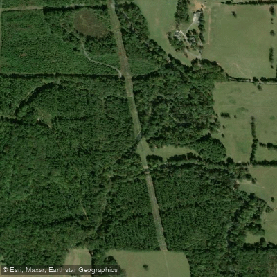
Paddlers should monitor water levels carefully, as the creek can fluctuate significantly with rainfall. The relatively small watershed means flows can drop quickly during dry periods. Local outfitters and the Black Warrior Riverkeeper provide current conditions information. The creek's proximity to the William B. Bankhead National Forest adds to the natural setting, though portions flow through working landscapes including managed timberlands and agricultural areas.
Curated routes
Hand-picked by the PaddleWays team, with put-ins, take-outs, paddle times and the hazards along the way.
RouteClass II
Hazards
No paddler has reported a hazard here yet, so these are the dams, falls and big rapids on our map. Hazards change with flows and storms, so check them before you launch.
From the community
Nobody has shared a trip on Blackwater Creek yet. Paddle it, then tell the next paddler how it went.
See exactly where the public can get on and off the river. Launch points and boat ramps are paired with PaddleWays' public land data so you know where you can legally land.
Public shoreline
0%of the river's shoreline is public
Most of the riverbank is private. Launch, land and camp only at public access points.
Flows, weather and a route-by-route verdict, so you know which stretch of the Blackwater Creek is worth paddling today.
Live flows, marked hazards and fresh trip reports from paddlers who were just on the water, all in one place.





Every user gets free access to launch points, boat ramps, and public property parcels.
Loading popular cities...
PaddleWays gives you everything you need to plan smarter, paddle better, and own every trip from first launch to takeout.





