Cotaco Creek
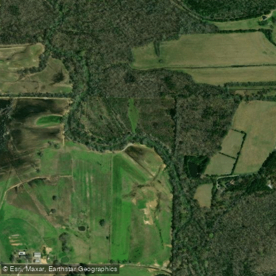
Cotaco Creek
- Boat Ramps
- 1
- Access Points
- 1
- Campsites
- 0
Cotaco Creek carves through the rugged terrain of North Alabama, offering paddlers a mix of recreational floating and technical whitewater challenges. The creek is part of a watershed that supports diverse ecological communities, with documented occurrences of rare and protected species including native fish, mammals, and plant life that depend on the creek's water quality and riparian habitat.
The most notable paddling section is Mill Pond, a demanding whitewater run stretching from Matt Morrow Road to Ruth Road. This technical stretch rates Class IV-V, making it one of Alabama's most challenging creek runs and strictly the domain of expert paddlers with solid whitewater skills. The run features Sinking Falls, a distinctive drop where some of the creek's flow diverts into a sink on river right. The geology here creates unique hazards, with a prominent cliff on the right bank and a substantial hole that forms at certain water levels. Proper flow is critical—local paddlers have established that 1.5 feet on the painted gauge is dangerously high, while flows around 6 inches present different challenges with specific hydraulics to navigate.
Water level management is essential for Mill Pond. The last viable exit point occurs near the beginning of the run, just before Sinking Falls, making commitment a serious consideration. Paddlers must scout carefully and be prepared to walk out river left if conditions exceed their comfort level, as downstream options become severely limited once you're committed to the steeper sections.
Beyond the whitewater section, Cotaco Creek offers more accessible paddling opportunities. Sharps Ford Bridge serves as a popular access point for recreational paddlers and anglers, though the water widens considerably here and sees motorized flat-bottom boat traffic. The North Alabama paddling community actively uses the creek for day trips, fishing expeditions, and exploratory paddles through varied terrain.
The watershed's land cover patterns and natural features reflect typical North Alabama topography, with the creek flowing through a landscape that transitions between forested corridors and more open areas. The presence of federally and state-protected species underscores the ecological importance of maintaining water quality and habitat integrity throughout the system.
Safety on Mill Pond demands respect for the creek's technical nature, proper scouting, and realistic assessment of both water levels and paddler skill. The combination of significant drops, geological features like sinks and holes, and limited exit options makes this a run where experience and judgment are paramount. For those seeking gentler water, the lower sections provide opportunities to enjoy the creek without the extreme technical demands of the Mill Pond whitewater.
Water access, boat ramps & amenities
Learn how to get on Cotaco Creek. Uncover great paddling access points, boat ramps, and all the facilities you need for an unforgettable day on the water. Some locations shown may border or include private property. Always check property boundaries and applicable regulations before visiting. PaddleWays's Public & Private Land layer can help you plan your access with confidence.
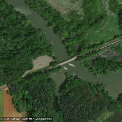
Paddle smarter with real-time insights
Whether you're en route and conditions shift or you're looking for the best spot based on current flows, we enable you to make informed decisions on the fly.








Find Places to Paddle

Over 400,000 Places to Paddle
Every user gets free access to launch points, boat ramps, and public property parcels.


Water and weather conditions (10 day forecast)
See the best times to paddle Cotaco Creek and check the forecast before you go.
COTACO CREEK AT FLORETTE AL
Paddling near Cotaco Creek

Tennessee River
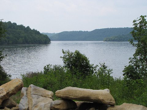
Tims Ford Lake
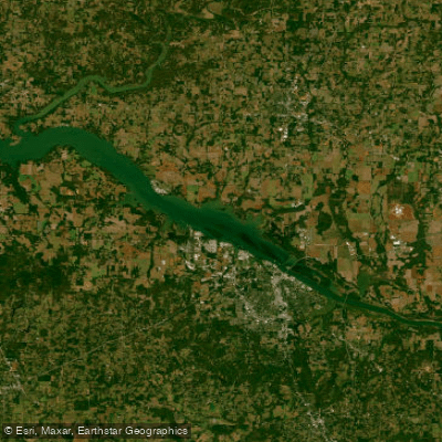
Wheeler Lake
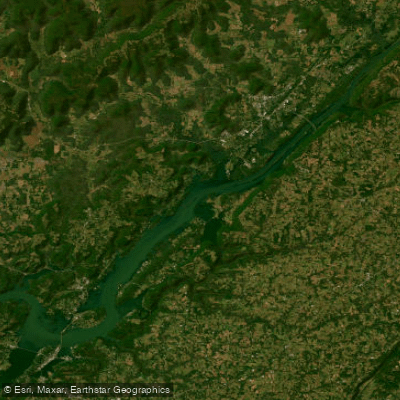
Guntersville Lake
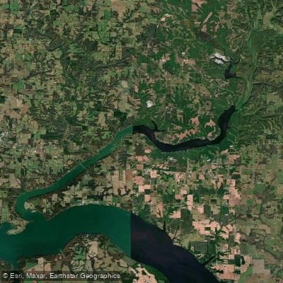
Wheeler Reservoir
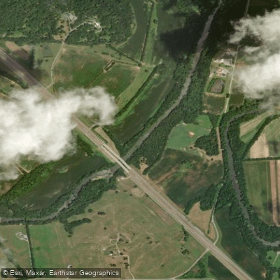
Elk River
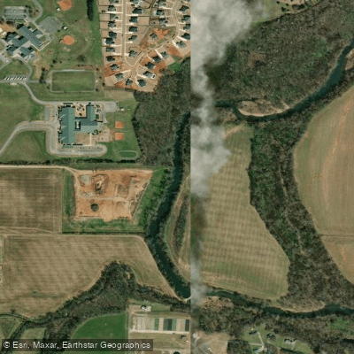
Flint River
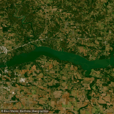
Wilson Lake
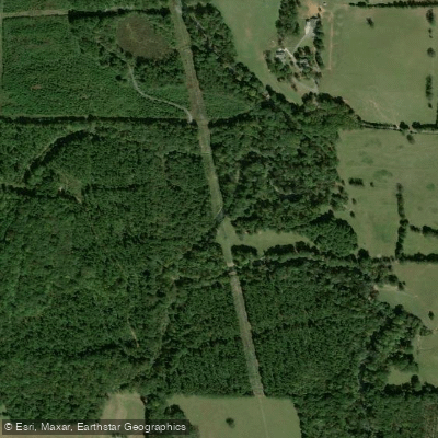
Flint Creek
Explore Alabama waters
Top paddling waters
Popular Cities
Loading popular cities...
Explore near Cotaco Creek
Access points
Nearby waters
More in Alabama

Smarter Paddling Starts in the App.
Paddleways gives you everything you need to plan smarter, paddle better, and own every trip from first launch to takeout.