Grand Bay
- Saltwater
- Bay
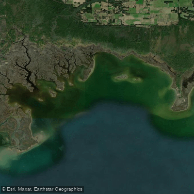
Grand Bay
- Saltwater
- Bay
- Sq. miles
- 12
- Boat Ramps
- 0
- Access Points
- 0
- Campsites
- 0
Grand Bay is a coastal saltwater bay located on the border of Alabama and Mississippi, forming part of the northern Gulf of Mexico. The paddling experience here is characterized by extensive marshlands, tidal bayous, and a network of waterways within the Grand Bay National Estuarine Research Reserve. The area is known for its rich biodiversity, serving as an essential nursery habitat for fish and home to several rare plant and animal species. Paddlers can explore the upper reaches of Bayou Heron, a notable waterway that flows into the bay from the Moss Point, Mississippi area, offering a route through maritime forests and marshes. The overall environment is a mix of pine savannas, freshwater marshes near the boardwalk trails, and saltwater influences closer to the open bay.
Key public access for paddlers includes the Bayou Heron Landing, which provides a launch point for exploring Bayou Heron. The Grand Bay Coastal Resources Center, located at 6005 Bayou Heron Road in Moss Point, Mississippi, also serves as a focal point for the reserve and may offer access. The Savanna Trail Boardwalk leads from this center to a freshwater marsh. Given the coastal nature, paddlers must be mindful of tidal currents and plan trips accordingly; paddling against a strong outgoing tide in confined bayous can be challenging. The area is exposed to winds from the Gulf, which can create chop, especially over open water sections of the bay. Boat traffic may be present in main channels. Summer brings heat, pop-up showers, and significant insect populations, necessitating sunscreen, bug spray, and ample drinking water. The best seasons for paddling may align with spring and fall bird migrations, which are particularly active in the area's oak groves and marshes. Wildlife viewing is a major draw, with opportunities to see ospreys, bald eagles in winter, and a variety of warblers and other migratory birds. The water is generally calm in protected bayous but can become rough in the open bay during weather events. Facilities are limited to basic public boat ramps and parking areas; the Coastal Resources Center has public hours but access to the boardwalk may be available outside those times via a gravel pathway.
Water access, boat ramps & amenities
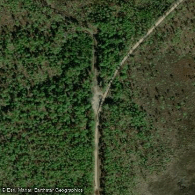
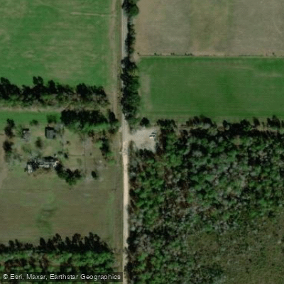
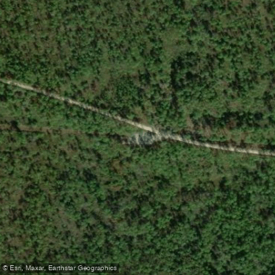
Learn how to get on Grand Bay. Uncover great paddling access points, boat ramps, and all the facilities you need for an unforgettable day on the water. Some locations shown may border or include private property. Always check property boundaries and applicable regulations before visiting. PaddleWays's Public & Private Land layer can help you plan your access with confidence.
Paddle smarter with real-time insights
Whether you're en route and conditions shift or you're looking for the best spot based on current flows, we enable you to make informed decisions on the fly.








Find Places to Paddle

Over 400,000 Places to Paddle
Every user gets free access to launch points, boat ramps, and public property parcels.


Tides, wind & water conditions (10 day forecast)
On open water, wind and tide matter as much as the weather. See the best times to paddle Grand Bay and check the marine forecast before you launch.
Loading tide predictions…
Paddling near Grand Bay

Pascagoula River
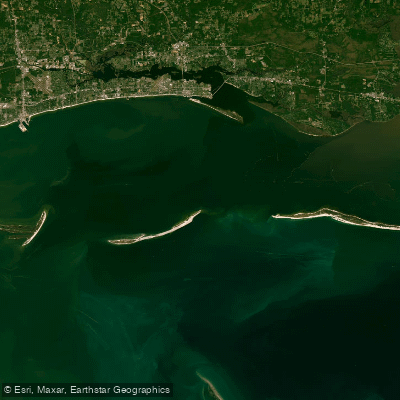
Mississippi Sound
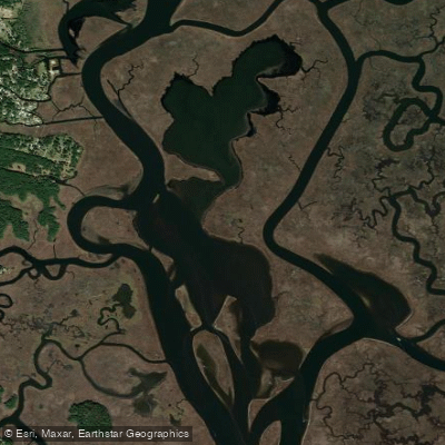
Big Lake
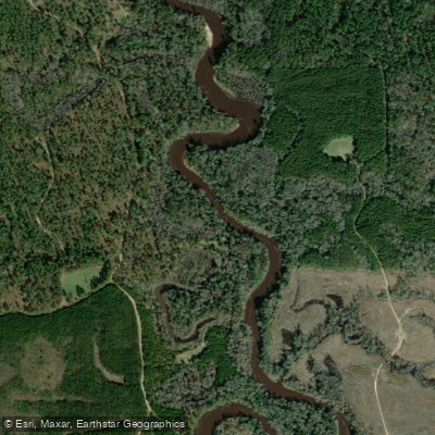
Escatawpa River
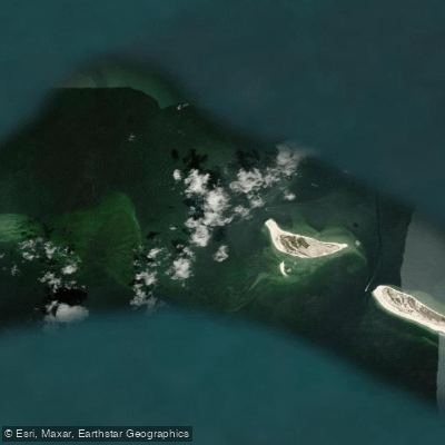
Horn Island Pass

Robertson Lake
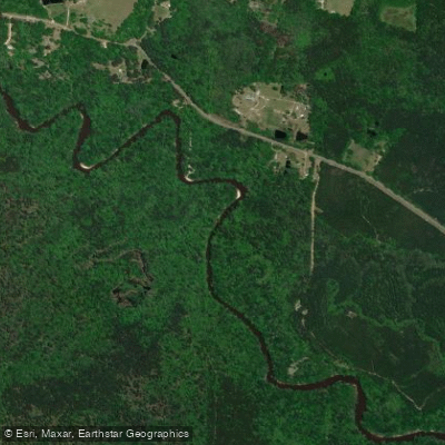
Black Creek
Explore Alabama waters
Top paddling waters
Popular Cities
Loading popular cities...
Explore near Grand Bay
Access points
Nearby waters
More in Alabama

Smarter Paddling Starts in the App.
Paddleways gives you everything you need to plan smarter, paddle better, and own every trip from first launch to takeout.