Pascagoula River

Pascagoula River
- Boat Ramps
- 7
- Access Points
- 7
- Campsites
- 29
The Pascagoula River is a remarkable waterway that flows through eastern Mississippi, originating in the northeastern part of the state and meandering southward until it empties into the Gulf of Mexico. As the largest undammed river system in the lower 48 states, the Pascagoula offers paddlers a rare opportunity to experience a truly free-flowing river ecosystem. Stretching approximately 80 miles from its headwaters to the Gulf, the Pascagoula River watershed encompasses over 8,800 square miles. Major tributaries include the Chickasawhay and Leaf Rivers, which join to form the Pascagoula near Merrill, Mississippi.
Paddling opportunities abound along the Pascagoula, with several established blueway trails catering to different skill levels. The George County Blueway offers a challenging 23-mile stretch for intermediate to experienced paddlers, while the Jackson County Blueway provides a more accessible 10-mile route suitable for a wider range of abilities. For those seeking a shorter excursion, the Pascagoula River Audubon Center in Moss Point offers kayak rentals to explore the nearby Rhodes Bayou.
The river's difficulty ranges from flatwater sections ideal for beginners to swifter currents that require more advanced skills. Spring and fall tend to offer the most pleasant paddling conditions, though the river is navigable year-round. Paddlers should be aware of hunting seasons, particularly from October to May in wildlife management areas.
The Pascagoula's ecosystem is remarkably diverse, supporting over 300 species of birds and numerous fish species, including the occasional massive gulf sturgeon. The river's banks are lined with cypress and tupelo swamps, providing habitat for alligators, river otters, and various waterfowl.
Key access points include launches in George County, Jackson County, and Moss Point. The river passes near the towns of Lucedale, Vancleave, and Pascagoula, offering opportunities for resupply on longer trips.
Historically, the Pascagoula River has been central to the region's development, from its use by indigenous peoples to its role in the timber industry. Today, it remains a vital resource for recreation, conservation, and scientific study.
Safety considerations include being aware of weather conditions, strong currents (especially at boat ramps), and wearing appropriate safety gear. Alcohol is prohibited in wildlife management areas, and paddlers should follow all local regulations.
For those seeking a multi-day adventure, the Pascagoula offers the possibility of extended trips from its upper reaches to the Gulf, though careful planning is essential due to limited established campsites along the route.
Water access, boat ramps & amenities
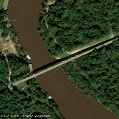
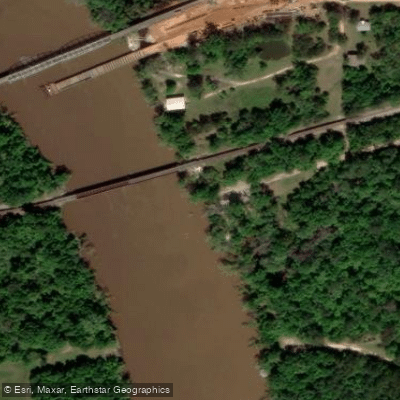
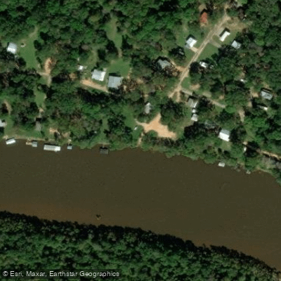
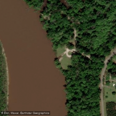
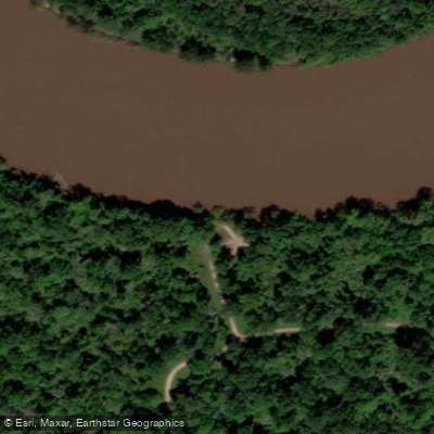
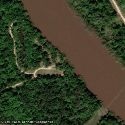
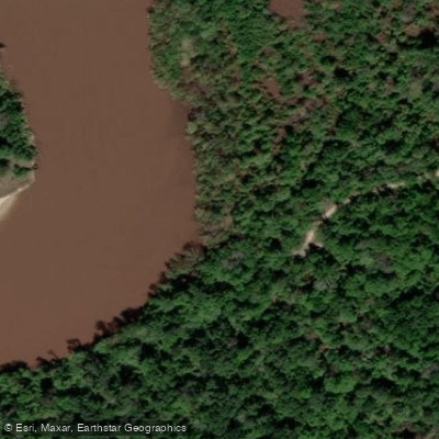
Learn how to get on Pascagoula River. Uncover great paddling access points, boat ramps, and all the facilities you need for an unforgettable day on the water. Some locations shown may border or include private property. Always check property boundaries and applicable regulations before visiting. PaddleWays's Public & Private Land layer can help you plan your access with confidence.
Paddle smarter with real-time insights
Whether you're en route and conditions shift or you're looking for the best spot based on current flows, we enable you to make informed decisions on the fly.








Find Places to Paddle

Over 400,000 Places to Paddle
Every user gets free access to launch points, boat ramps, and public property parcels.


Water and weather conditions (10 day forecast)
See the best times to paddle Pascagoula River and check the forecast before you go.
PASCAGOULA RIVER AT MERRILL, MS
All Flow Stations
Paddling near Pascagoula River

Pearl River
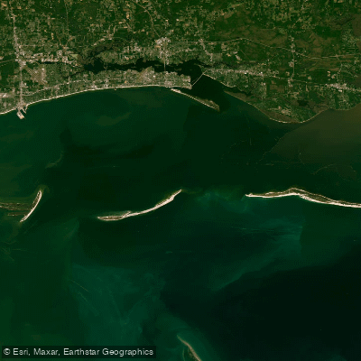
Mississippi Sound

Biloxi River
Tchoutacabouffa River
Biloxi Bay

Tuxachanie Creek
Old Fort Bayou
Chandeleur Sound
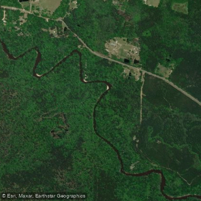
Black Creek
Explore Mississippi waters
Top paddling waters
Popular Cities
Loading popular cities...
Explore near Pascagoula River
Access points
Nearby waters
More in Mississippi

Smarter Paddling Starts in the App.
Paddleways gives you everything you need to plan smarter, paddle better, and own every trip from first launch to takeout.