Black Creek
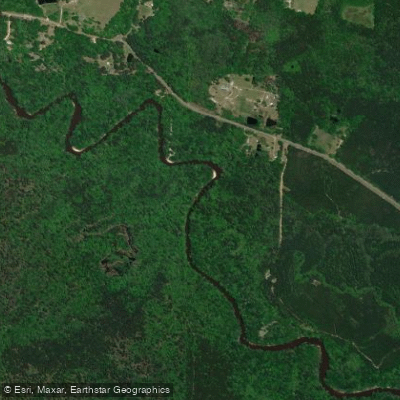
Black Creek
- Boat Ramps
- 9
- Access Points
- 11
- Campsites
- 34
Black Creek originates in the piney woods of south-central Mississippi and flows approximately 80 miles southeastward through Forrest, Perry, Stone, George, and Jackson Counties before joining the Pascagoula River. The creek derives its name from the dark, tannin-stained water that results from decaying vegetation in the surrounding forests, creating a distinctive tea-colored appearance that contrasts beautifully with brilliant white sandbars. The creek offers exceptional paddling opportunities through the DeSoto National Forest, where 21 miles from Moody's Landing to a pipeline crossing near Fairley Bridge Landing hold federal Wild and Scenic River designation—Mississippi's only such designation.
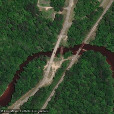
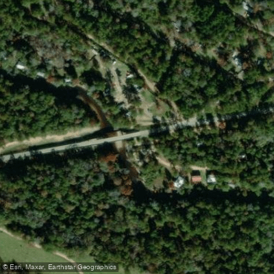
The readily navigable section extends roughly 40-50 miles from near Highway 11 north of Purvis downstream to Highway 26 outside Wiggins. Multiple access points include Big Creek Landing, Brooklyn Bridge (Old Highway 49), Moody's Landing, Janice Landing, Cypress Creek Landing, and Fairley Bridge Landing, with Brooklyn serving as the primary hub for outfitters and services.
Paddlers encounter Class I conditions throughout most sections, making Black Creek suitable for beginners to intermediates. The upper reaches from Highway 11 to Big Creek Landing present more technical challenges with numerous logjams requiring occasional portaging, best suited for experienced paddlers in kayaks. From Big Creek downstream, the creek maintains steady current with minimal obstructions, though constant maneuvering around sandbars, stumps, and occasional fallen trees remains necessary. Water levels between 4.5-5.5 feet at the Brooklyn gauge provide ideal conditions; levels below 4.0 feet result in extensive dragging over gravel bars.
Spring through early summer offers peak paddling conditions with higher water levels and blooming vegetation including wild azaleas, dogwoods, and wisteria. Fall provides excellent opportunities with comfortable temperatures and reduced crowds. Summer remains popular despite heat, as numerous swimming holes and sandbars offer relief.
The creek corridor supports diverse wildlife including white-tailed deer, wild turkey, river otters, beavers, and various turtle species. Birdwatchers regularly observe great blue herons, kingfishers, wood ducks, and occasionally swallow-tailed kites. The threatened pearl darter inhabits these waters.
Notable landmarks include the Black Creek Wilderness Area, encompassing over 5,000 acres of pristine forest, and the confluence with Beaverdam Creek, which features impressive limestone formations. The area has served human populations for 11,000 years, with archaeological evidence of Native American settlements along tributary streams. During the timber boom era, Black Creek served as a log transportation route to coastal mills.
Camping is permitted throughout National Forest sections on sandbars and designated campgrounds at Moody's Landing, Janice Landing, Cypress Creek Landing, and Fairley Bridge Landing. Multi-day trips ranging from overnight excursions to three-day adventures are popular, with the Brooklyn to Fairley Bridge route (approximately 29 miles) representing a classic extended journey. No alcohol is permitted at federal campgrounds, though it is allowed on the river itself. Paddlers should respect posted private property boundaries and practice Leave No Trace principles throughout their journey.
Water access, boat ramps & amenities
Learn how to get on Black Creek. Uncover great paddling access points, boat ramps, and all the facilities you need for an unforgettable day on the water. Some locations shown may border or include private property. Always check property boundaries and applicable regulations before visiting. PaddleWays's Public & Private Land layer can help you plan your access with confidence.
Paddle smarter with real-time insights
Whether you're en route and conditions shift or you're looking for the best spot based on current flows, we enable you to make informed decisions on the fly.








Find Places to Paddle

Over 400,000 Places to Paddle
Every user gets free access to launch points, boat ramps, and public property parcels.


Water and weather conditions (10 day forecast)
See the best times to paddle Black Creek and check the forecast before you go.
BLACK CREEK NR BROOKLYN, MS
All Flow Stations
Paddling near Black Creek

Pearl River

Pascagoula River
Leaf River
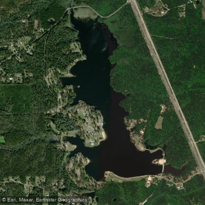
Geiger Lake
Bouie River
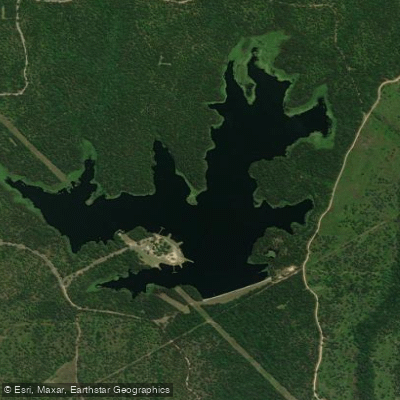
Lake Bill Waller
Tallahala Creek
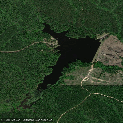
Lake Perry
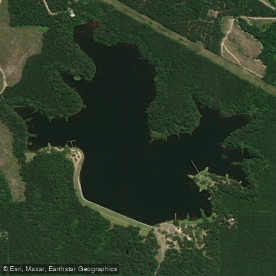
Lake Mike Connor
Explore Mississippi waters
Top paddling waters
Popular Cities
Loading popular cities...
Explore near Black Creek
Access points
Nearby waters
More in Mississippi

Smarter Paddling Starts in the App.
Paddleways gives you everything you need to plan smarter, paddle better, and own every trip from first launch to takeout.