Horn Island Pass
- Saltwater
- Pass
Horn Island Pass
- Saltwater
- Pass
- Sq. miles
- 18
- Boat Ramps
- 0
- Access Points
- 0
- Campsites
- 0
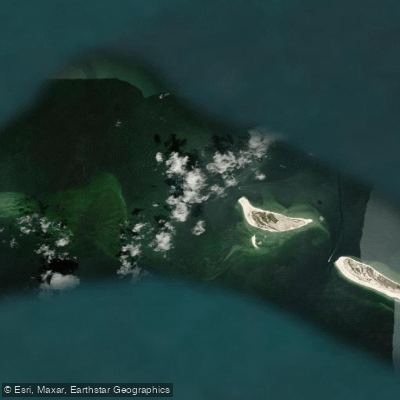
Horn Island Pass is the primary navigable waterway separating Horn Island and Petit Bois Island within the Gulf Islands National Seashore off the Mississippi coast. It is also known as the Pascagoula Ship Channel, a critical designation for paddlers due to significant commercial vessel traffic. The pass is a major crossing point for paddlers traveling between the mainland and the barrier islands or between the islands themselves. A direct open-water crossing from a mainland launch, such as from Hollingsworth Point or Davis Bayou, to the pass can be approximately 9 to 10 miles. The pass itself is a defined channel with depths reported around 17 to 18 feet, marked by a series of lighted buoys including LB 11 and LB 17. Tidal currents within the pass are a primary planning factor, with maximum ebb currents exceeding 1.3 knots and flood currents around 0.9 knots; slack water periods are brief and must be timed for safer crossing. Wind exposure is significant, with conditions on the north and south sides of the islands differing drastically. The south side, facing the Gulf of Mexico, is subject to ocean swell and waves, while the north side in Mississippi Sound is generally shallower and calmer but can develop chop. Paddlers must exercise extreme caution and maintain a wide berth from the deep-draft ship channel, as large vessels including natural gas barges use this route. The surrounding wilderness islands offer boat-in camping opportunities, though groups of 10 or more require a permit from the National Park Service. Wildlife sightings commonly include dolphins and numerous seabirds like pelicans. The area is also known for the presence of Figure 8 jellyfish, and biting flies can be a severe nuisance on the islands, especially in calm conditions. Water quality can be affected by events like tropical storms, which may bring tar balls to shorelines, though cleanup crews are sometimes active.
Water access, boat ramps & amenities
Learn how to get on Horn Island Pass. Uncover great paddling access points, boat ramps, and all the facilities you need for an unforgettable day on the water. Some locations shown may border or include private property. Always check property boundaries and applicable regulations before visiting. PaddleWays's Public & Private Land layer can help you plan your access with confidence.
Paddle smarter with real-time insights
Whether you're en route and conditions shift or you're looking for the best spot based on current flows, we enable you to make informed decisions on the fly.








Find Places to Paddle

Over 400,000 Places to Paddle
Every user gets free access to launch points, boat ramps, and public property parcels.


Tides, wind & water conditions (10 day forecast)
On open water, wind and tide matter as much as the weather. See the best times to paddle Horn Island Pass and check the marine forecast before you launch.
Loading tide predictions…
Paddling near Horn Island Pass

Pascagoula River
Mississippi Sound
Big Lake
Escatawpa River

Robertson Lake
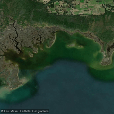
Grand Bay
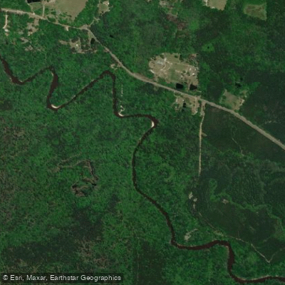
Black Creek
Explore Mississippi waters
Top paddling waters
Popular Cities
Loading popular cities...
Explore near Horn Island Pass

Smarter Paddling Starts in the App.
Paddleways gives you everything you need to plan smarter, paddle better, and own every trip from first launch to takeout.