Lake Tuscaloosa
Lake Tuscaloosa
- Boat Ramps
- 2
- Access Points
- 2
- Campsites
- 1
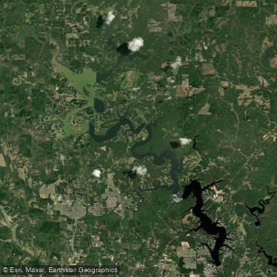
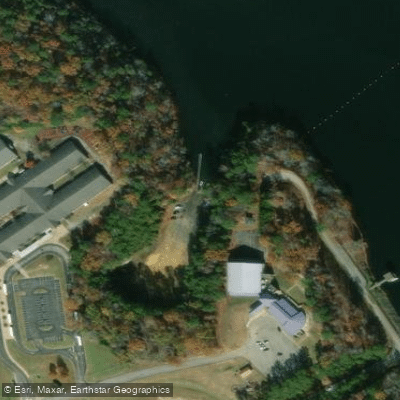
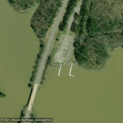
Lake Tuscaloosa, located just five miles north of Tuscaloosa and Northport, Alabama, offers paddlers a scenic and relaxing flatwater experience. The lake features three public access points: Rock Quarry Boat Landing, Sharpe's Landing, and Binion Creek. A popular 2.35-mile paddling route runs between Sharpe's Landing and Rock Quarry Boat Landing, ideal for a short morning or afternoon outing.
The lake's calm waters and gentle conditions make it well-suited for families, beginners, and paddleboarders. Spring, summer, and fall are the primary paddling seasons. The flatwater nature of the lake allows for easy out-and-back trips between access points.
Wildlife enthusiasts may spot various water birds and potentially bald eagles soaring overhead. The surrounding landscape provides picturesque views, with lush greenery lining the shores. As evening approaches, paddlers can witness stunning sunsets over the water.
For those seeking additional amenities, the Captain's Club marina on Lake Tuscaloosa offers pontoon boat, paddleboard, kayak, and water hammock rentals. Fishing is popular on the lake, with opportunities to catch various freshwater species.
The lake's location in central Alabama means warm water during peak paddling seasons. Paddlers should be aware that the lake serves as a reservoir and recreational area, so motorized boat traffic may be present.
When planning a trip, check current regulations and consider water levels, as dam maintenance can occasionally affect conditions. Overall, Lake Tuscaloosa provides a pleasant paddling destination for those seeking a calm, scenic experience in central Alabama.
Water access, boat ramps & amenities
Learn how to get on Lake Tuscaloosa. Uncover great paddling access points, boat ramps, and all the facilities you need for an unforgettable day on the water. Some locations shown may border or include private property. Always check property boundaries and applicable regulations before visiting. PaddleWays's Public & Private Land layer can help you plan your access with confidence.
Paddle smarter with real-time insights
Whether you're en route and conditions shift or you're looking for the best spot based on current flows, we enable you to make informed decisions on the fly.








Find Places to Paddle

Over 400,000 Places to Paddle
Every user gets free access to launch points, boat ramps, and public property parcels.


Water and weather conditions (10 day forecast)
See the best times to paddle Lake Tuscaloosa and check the forecast before you go.
LAKE TUSCALOOSA NEAR TUSCALOOSA, ALABAMA
Paddling near Lake Tuscaloosa
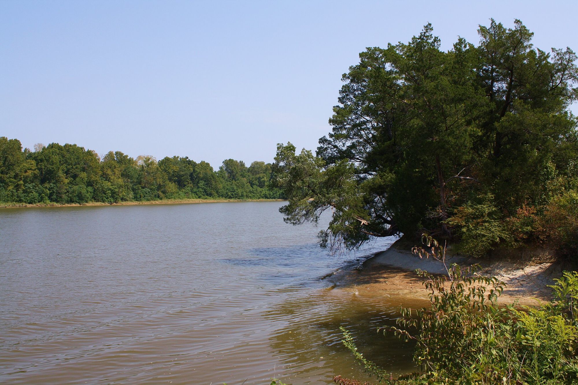
Black Warrior River
Tombigbee River
Holt Lake
William Bacon Oliver Lake
Demopolis Lake
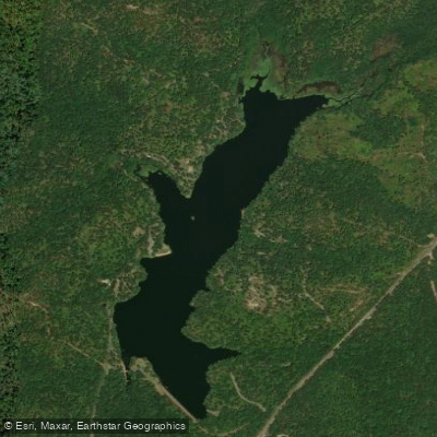
Payne Lake
Bankhead Lake
Aliceville Lake
Gainesville Lake
Explore Alabama waters
Top paddling waters
Popular Cities
Loading popular cities...
Explore near Lake Tuscaloosa
Access points
Nearby waters
More in Alabama

Smarter Paddling Starts in the App.
Paddleways gives you everything you need to plan smarter, paddle better, and own every trip from first launch to takeout.