Payne Lake
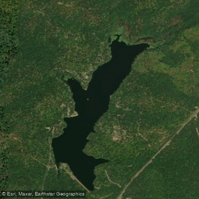
Payne Lake
- Boat Ramps
- 1
- Access Points
- 1
- Campsites
- 2
Payne Lake Recreation Area, located in the National Forests in Alabama, offers year-round boating opportunities on a scenic man-made lake surrounded by pine forests and rolling hills. The lake is part of a 200-acre recreation area that provides basic amenities for paddlers, including a designated swimming beach and boat launch facilities.
The recreation area features two bathhouses with restrooms and showers accessible to paddlers. The lake's layout naturally lends itself to shoreline and cove exploration. The surrounding forest creates a backdrop that changes seasonally, with spring and fall offering the most vibrant foliage displays.
The lake's water levels can vary significantly by season, and you may encounter lower water conditions and visible stumps, particularly in March. These seasonal fluctuations affect paddling conditions and access points.
The area provides a quiet, secluded atmosphere ideal for peaceful paddling experiences. You'll find opportunities for wildlife viewing while paddling the lake's waters. The lake has an interesting history as part of a former Civilian Conservation Corps (CCC) camp during the Great Depression.
A day-use pass is required for access, and visitors should display valid passes in their vehicles. The recreation area is managed by the National Forest Service, and while cellular service can be limited, the area is equipped with basic safety infrastructure. For planning purposes, summer months can be quite humid, making spring and fall the most comfortable seasons for paddling activities.
The lake supports fishing activities, with various fish species thriving in its waters, indicating healthy water conditions.
Water access, boat ramps & amenities
Learn how to get on Payne Lake. Uncover great paddling access points, boat ramps, and all the facilities you need for an unforgettable day on the water. Some locations shown may border or include private property. Always check property boundaries and applicable regulations before visiting. PaddleWays's Public & Private Land layer can help you plan your access with confidence.
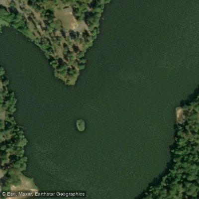
Paddle smarter with real-time insights
Whether you're en route and conditions shift or you're looking for the best spot based on current flows, we enable you to make informed decisions on the fly.








Find Places to Paddle

Over 400,000 Places to Paddle
Every user gets free access to launch points, boat ramps, and public property parcels.


Water and weather conditions (10 day forecast)
See the best times to paddle Payne Lake and check the forecast before you go.
No forecast data available.
Paddling near Payne Lake
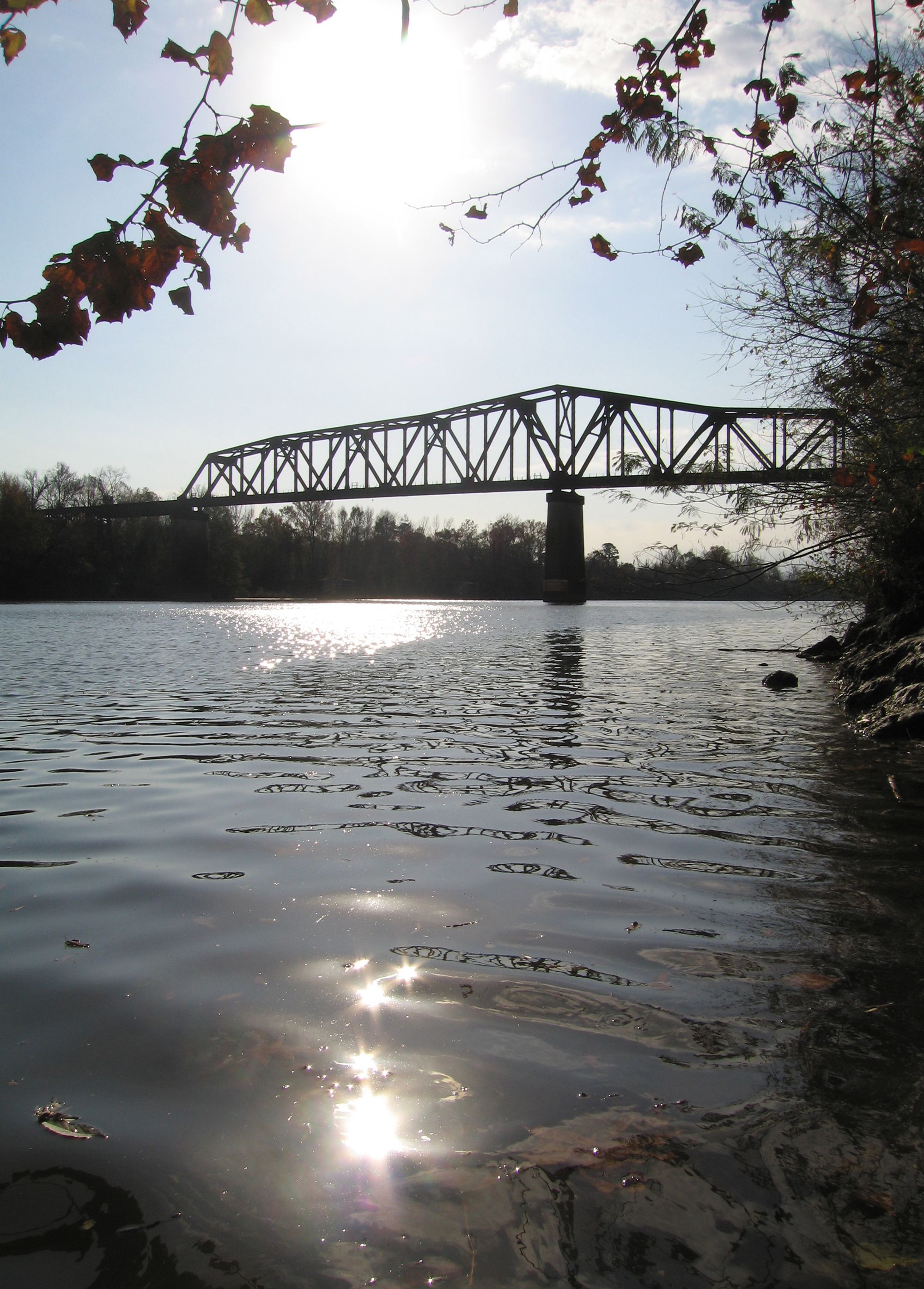
Black Warrior River
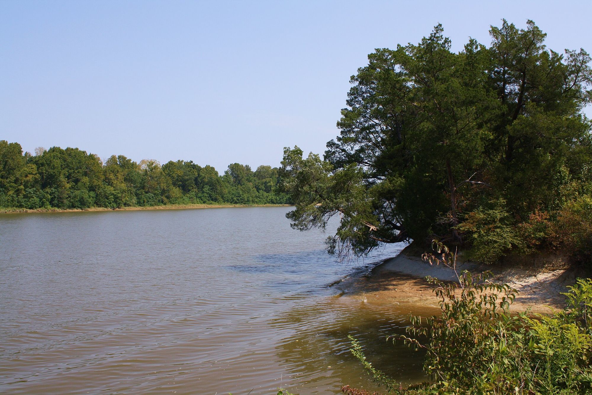
Tombigbee River
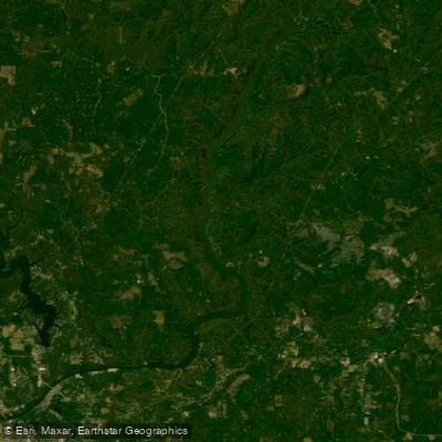
Holt Lake
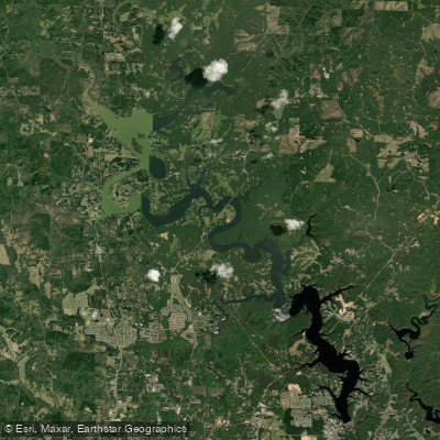
Lake Tuscaloosa
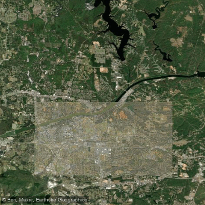
William Bacon Oliver Lake
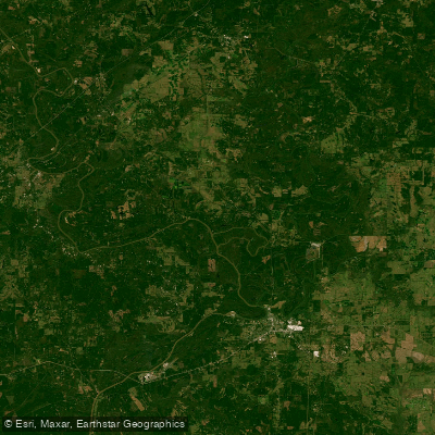
Demopolis Lake
Bankhead Lake
Cahaba River
Mulberry Fork
Explore Alabama waters
Top paddling waters
Popular Cities
Loading popular cities...
Explore near Payne Lake
Access points
Nearby waters
More in Alabama

Smarter Paddling Starts in the App.
Paddleways gives you everything you need to plan smarter, paddle better, and own every trip from first launch to takeout.