Tombigbee River
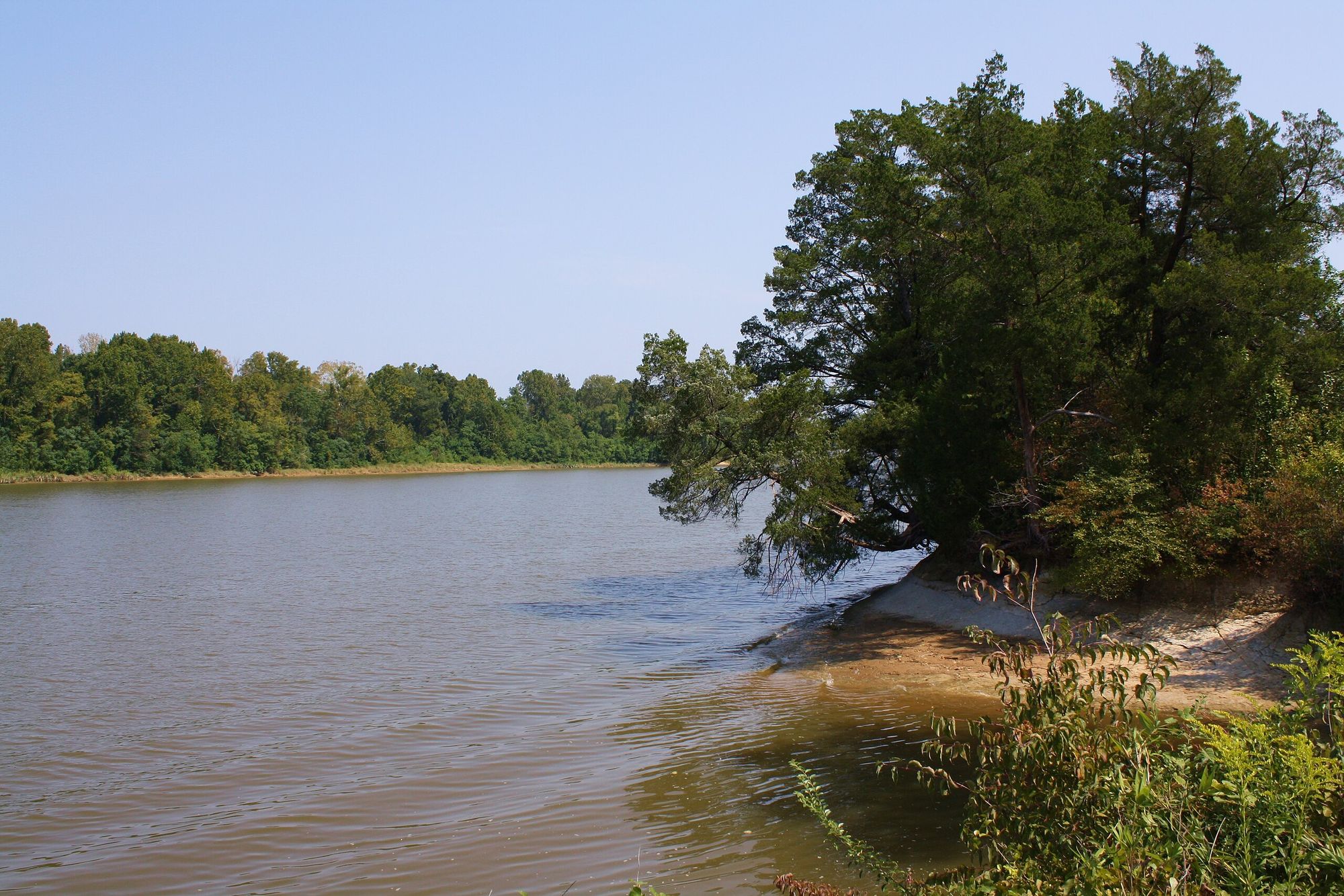
Tombigbee River
- Boat Ramps
- 18
- Access Points
- 19
- Campsites
- 17
The Tombigbee River is a major waterway flowing through eastern Mississippi and western Alabama. Originating near Tupelo, Mississippi, it flows generally south for approximately 200 miles before joining the Alabama River to form the Mobile River. The river's watershed covers over 21,000 square miles, draining much of western Alabama and northeastern Mississippi. Paddling opportunities on the Tombigbee are diverse, ranging from serene flatwater sections to more challenging stretches with Class I-II rapids.
The Old Tombigbee River section near Aberdeen, Mississippi offers a 36-mile journey through quiet waters and faster currents, requiring intermediate skills to navigate fallen trees and obstacles. Further south, the river widens as it flows through Alabama, providing long stretches of calm water ideal for multi-day trips. The river's difficulty varies seasonally, with higher water levels in spring and winter increasing flow rates. Late spring through early fall generally offers the best paddling conditions, though summer can bring low water levels in some sections. Paddlers should be prepared for a range of conditions and check water levels before trips.
The Tombigbee's ecosystem supports diverse wildlife, including alligators, various fish species, and numerous birds. The river corridor is lined with hardwood forests, providing habitat for deer, wild turkeys, and other animals. Notable landmarks include the Tennessee-Tombigbee Waterway, a major navigation project that connects the river to the Tennessee River system. Historical sites like old river ports and Native American mounds can be found along the banks, reflecting the river's importance to regional development and trade.
Key access points include the Corps of Engineers Divide Cut near Carolina, Mississippi, and various boat ramps in Alabama such as Coffeeville Lake and the Jackson City Ramp. Towns like Aberdeen, MS and Demopolis, AL serve as gateways to different river sections. For multi-day adventures, the Bartram Canoe Trail in the lower Tombigbee and Mobile-Tensaw Delta offers an extensive network of waterways with designated campsites and floating platforms. This trail system provides a unique opportunity to explore one of North America's largest river deltas.
Safety considerations include being aware of commercial barge traffic in navigable sections, watching for submerged obstacles, and respecting private property along the banks. Paddlers should always wear life jackets and be prepared for changing weather conditions. The Tombigbee River's rich history, diverse ecosystems, and range of paddling experiences make it a premier destination for water enthusiasts in the southeastern United States.
Water access, boat ramps & amenities
Learn how to get on Tombigbee River. Uncover great paddling access points, boat ramps, and all the facilities you need for an unforgettable day on the water. Some locations shown may border or include private property. Always check property boundaries and applicable regulations before visiting. PaddleWays's Public & Private Land layer can help you plan your access with confidence.
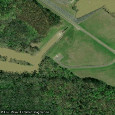
Paddle smarter with real-time insights
Whether you're en route and conditions shift or you're looking for the best spot based on current flows, we enable you to make informed decisions on the fly.








Find Places to Paddle

Over 400,000 Places to Paddle
Every user gets free access to launch points, boat ramps, and public property parcels.


Water and weather conditions (10 day forecast)
See the best times to paddle Tombigbee River and check the forecast before you go.
TOMBIGBEE RIVER AT BEVILL L&D NR PICKENSVILLE, AL
All Flow Stations
Paddling near Tombigbee River

Pearl River
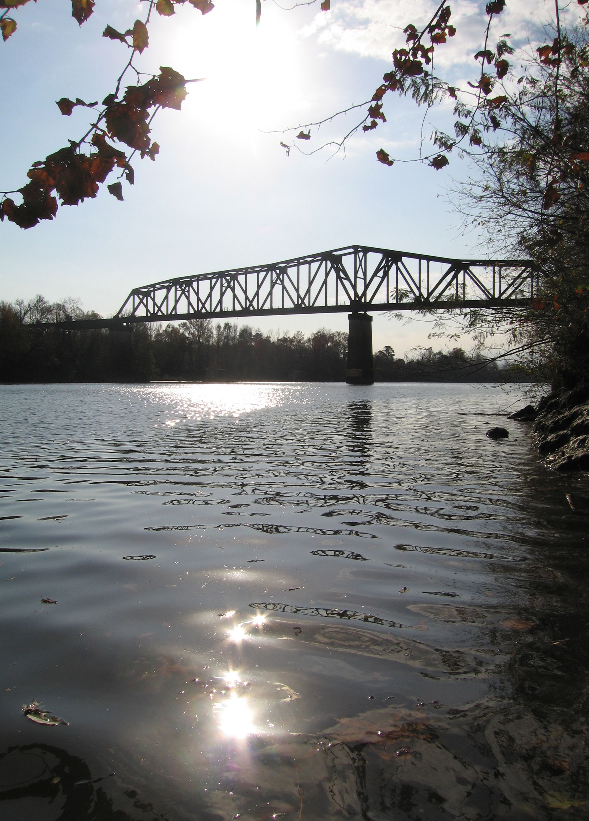
Black Warrior River
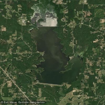
Okatibbee Lake
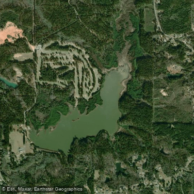
Long Creek Reservoir
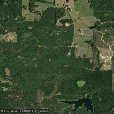
Chickasawhay River
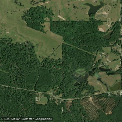
Okatibbee Creek
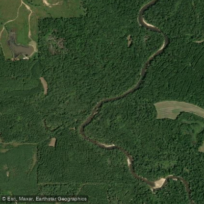
Chunky River
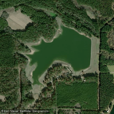
Lake Claude Bennett
Demopolis Lake
Explore Alabama waters
Top paddling waters
Popular Cities
Loading popular cities...
Explore near Tombigbee River
Access points
- Walker's Levee Old River Boat Ramp
- Frog Level Boat Ramp
- Peppertown Tombigbee Boat Ramp
- East Fork Boat Ramp
- Devils Elbow Boat Ramp
- Highway 278 Boat Ramp
- Blue Bluff Boat Ramp
- Myrtlewood Boat Ramp
- Barton Ferry Boat Ramp
- Canal Section Wildlife Management Area Boat Ramp
- Howell Heflin Lock Lower Pool Boat Ramp
- Cochrane Recreation Area Boat Ramp
- All 321 spots
Nearby waters
More in Alabama

Smarter Paddling Starts in the App.
Paddleways gives you everything you need to plan smarter, paddle better, and own every trip from first launch to takeout.