William Bacon Oliver Lake
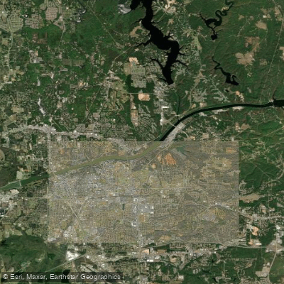
William Bacon Oliver Lake
- Boat Ramps
- 1
- Access Points
- 1
- Campsites
- 1
William Bacon Oliver Lake, also known as Oliver Lake or Lake Oliver, is a 1,000-acre reservoir on the Black Warrior River in Alabama. Created by the William Bacon Oliver Lock and Dam, it is the smallest in a series of reservoirs along the Black Warrior. The lake stretches for 9 miles and has a maximum depth of over 25 feet.
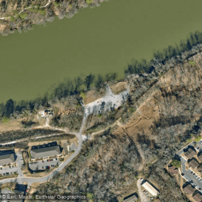
Access is available via a boat ramp in Northport and a fishing pier in Tuscaloosa, both located just below the dam. These facilities are managed by the U.S. Army Corps of Engineers. Additional recreational facilities within Tuscaloosa city limits are managed by the Tuscaloosa County Park and Recreation Authority.
The lake is popular for boating, fishing, and picnicking. Anglers can target bass, bluegill, and crappie. A lake record includes an 11-pound, 10-ounce largemouth bass. The lake maintains an angler recognition program for sport fish.
Water clarity is typically around 3 feet. The lake's elevation is 149 feet above sea level. Its location between Tuscaloosa and Northport makes it easily accessible for residents and visitors. Tuscaloosa, home to the University of Alabama, offers lodging options and has an airport.
Paddlers should be aware that the Mill Creek Boat Ramp, located just below the dam, is subject to flooding during high water events. All visitors are required to pay a use fee and must be prepared to show a pass. Long lines are common during peak season, holidays, and summer months.
The lake is part of the larger Black Warrior & Tombigbee Waterway system, which serves commercial navigation purposes in addition to recreation. Paddlers should exercise caution and be aware of potential commercial traffic on the waterway.
Water access, boat ramps & amenities
Learn how to get on William Bacon Oliver Lake. Uncover great paddling access points, boat ramps, and all the facilities you need for an unforgettable day on the water. Some locations shown may border or include private property. Always check property boundaries and applicable regulations before visiting. PaddleWays's Public & Private Land layer can help you plan your access with confidence.
Paddle smarter with real-time insights
Whether you're en route and conditions shift or you're looking for the best spot based on current flows, we enable you to make informed decisions on the fly.








Find Places to Paddle

Over 400,000 Places to Paddle
Every user gets free access to launch points, boat ramps, and public property parcels.


Water and weather conditions (10 day forecast)
See the best times to paddle William Bacon Oliver Lake and check the forecast before you go.
BLACK WARRIOR RIVER AT NORTHPORT AL
All Flow Stations
Paddling near William Bacon Oliver Lake
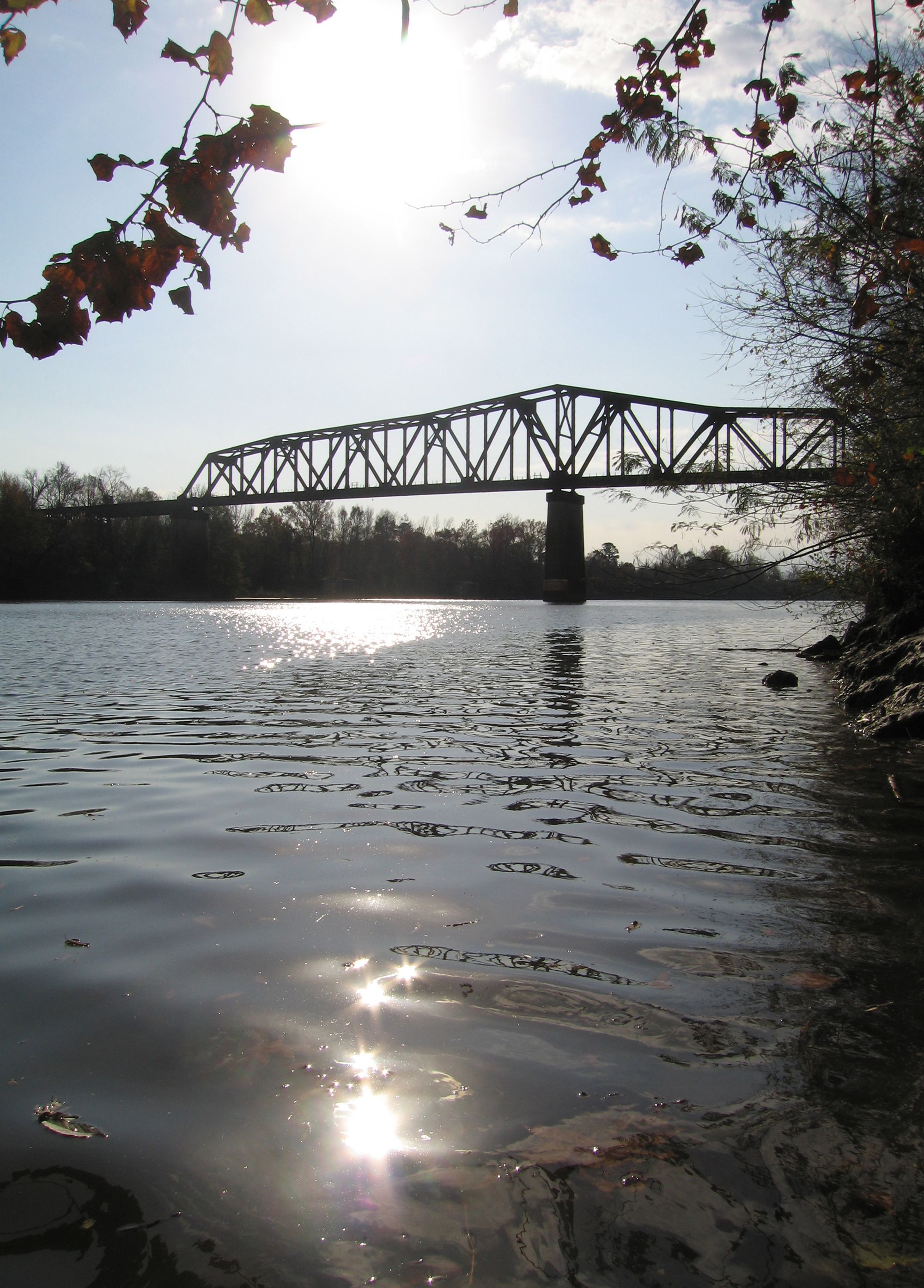
Black Warrior River
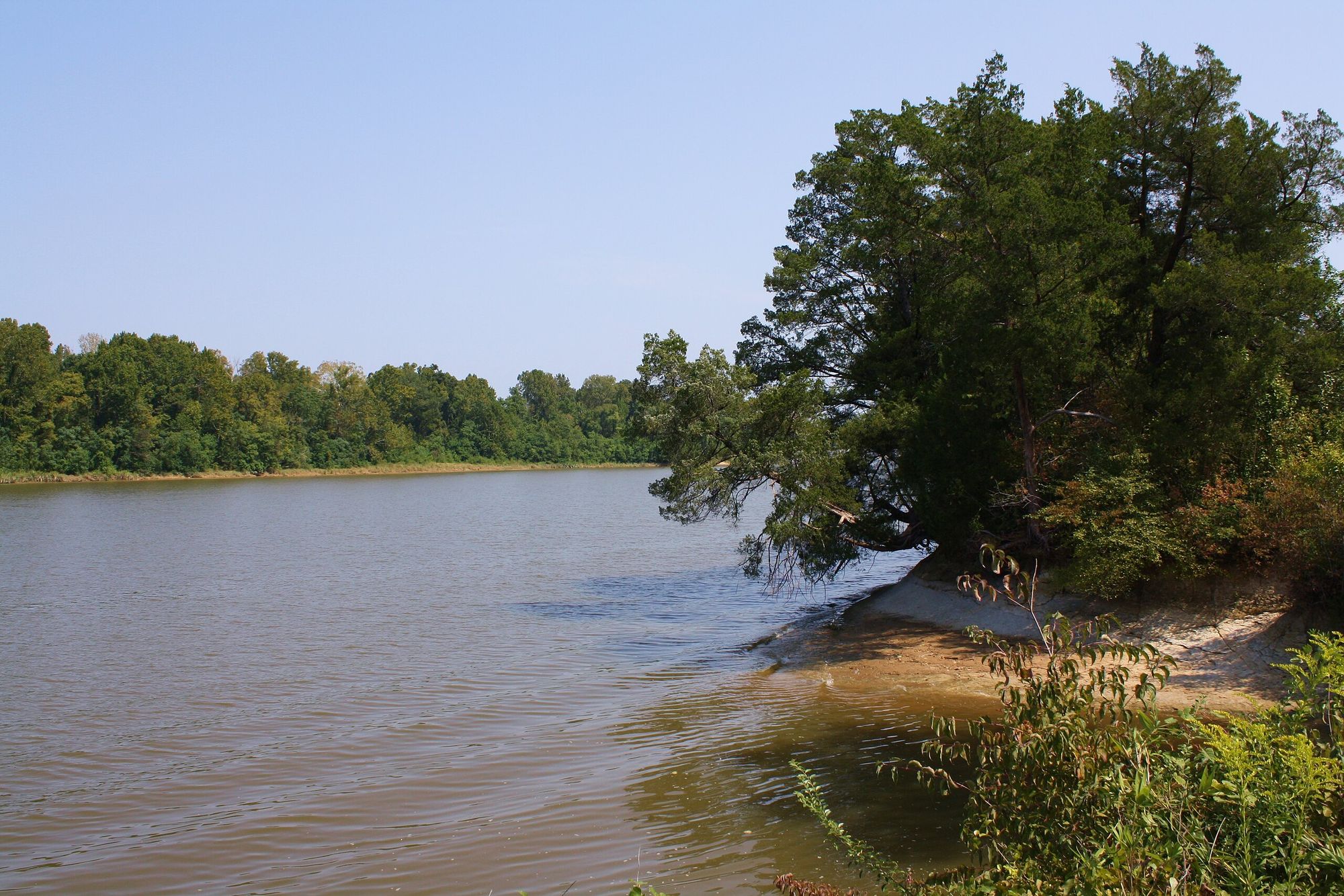
Tombigbee River
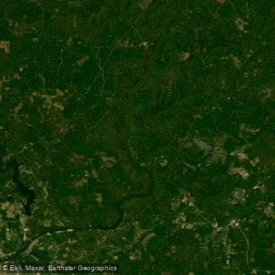
Holt Lake
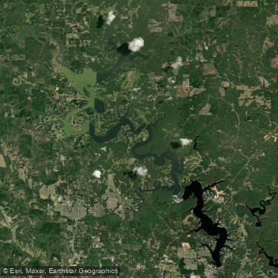
Lake Tuscaloosa
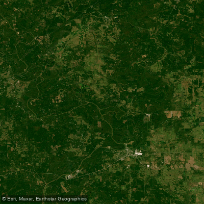
Demopolis Lake
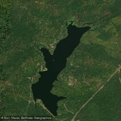
Payne Lake
Bankhead Lake
Cahaba River
Mulberry Fork
Explore Alabama waters
Top paddling waters
Popular Cities
Loading popular cities...
Explore near William Bacon Oliver Lake
Access points
Nearby waters
More in Alabama

Smarter Paddling Starts in the App.
Paddleways gives you everything you need to plan smarter, paddle better, and own every trip from first launch to takeout.