Little Tallapoosa River
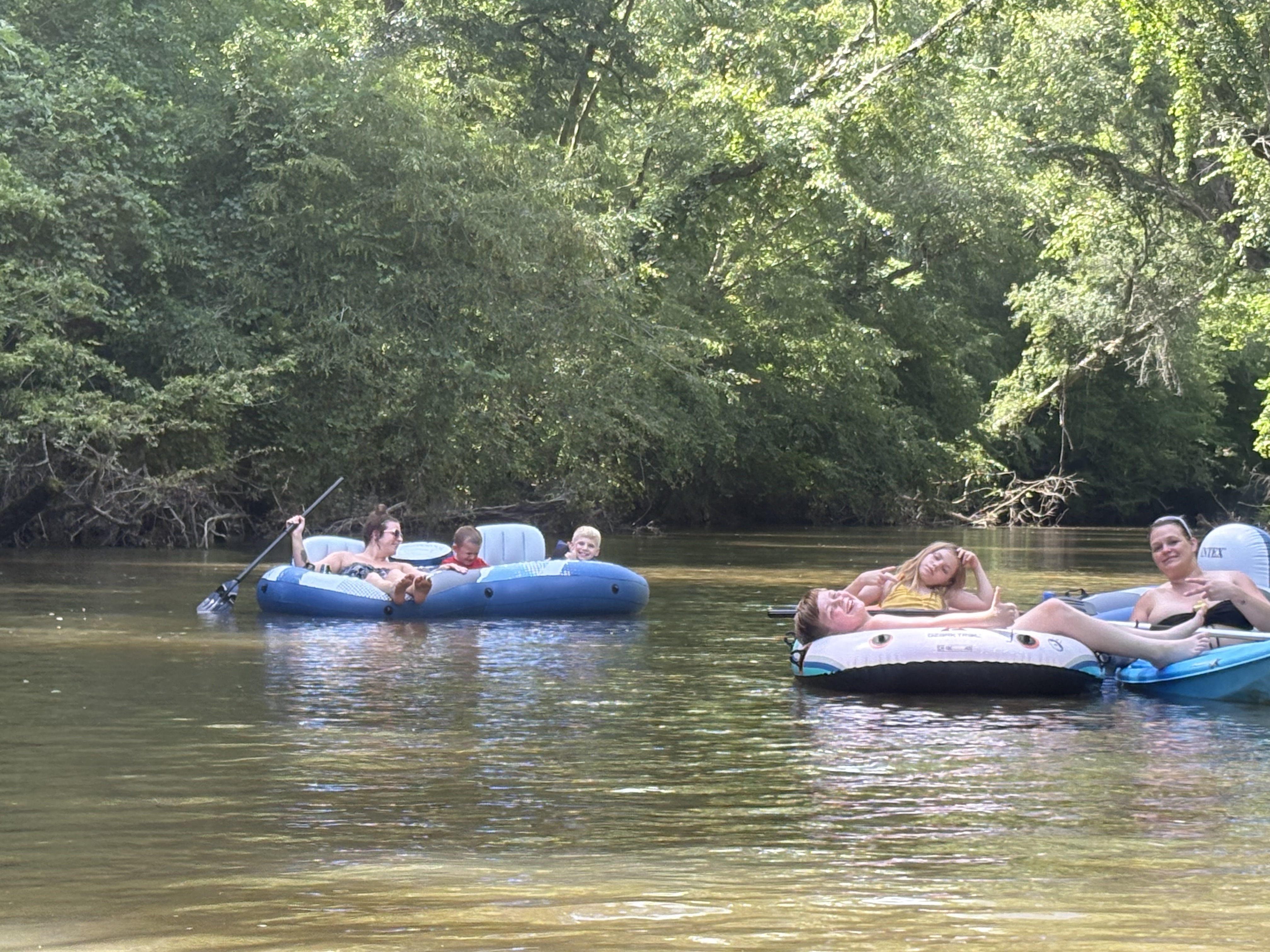
Little Tallapoosa River
- Boat Ramps
- 0
- Access Points
- 0
- Campsites
- 0
The Little Tallapoosa River is a scenic waterway that flows through western Georgia and eastern Alabama. Originating in Paulding County, Georgia, it travels southwest for approximately 70 miles before joining the Tallapoosa River near Wedowee, Alabama. The river forms part of the larger Alabama River Basin.
Paddlers can enjoy several established water trails along the Little Tallapoosa. In Georgia, the Dub Denman Canoe Trail offers 27 miles of flatwater paddling through Haralson County. This trail features three developed access points: Poplar Springs Road, Georgia Highway 100, and Broad Street, all located in Tallapoosa, GA. The average float time between access points is 2-3 hours, making it ideal for half-day or full-day trips.
As the river enters Alabama, it becomes part of the Harold Banks Canoe Trail, named after the first person to solo paddle the entire Tallapoosa River system. This 25-mile stretch offers a peaceful, family-friendly adventure with a combination of flat water and gentle shoals. The difficulty rarely exceeds Class I, making it suitable for novice paddlers.
The river is best paddled in spring and fall when water levels are optimal. Summer can bring low water conditions, while winter paddling requires cold water gear and experience. The surrounding landscape features a mix of hardwood forests, providing habitat for diverse wildlife including various fish species, turtles, and birds.
Key access points in Alabama include Jay Bird Creek, Peters Island, and Bibby's Ferry Access near Wadley. These allow for flexible trip planning, from short day trips to multi-day adventures. The river passes through rural areas, offering a serene escape into nature with occasional glimpses of historic sites and small communities.
The Little Tallapoosa played a significant role in the region's history, supporting Native American settlements and later becoming a transportation route for early European settlers. Today, it serves as an important water source for local communities and offers recreational opportunities that contribute to the area's tourism.
Paddlers should be aware of potential strainers and log jams, especially after high water events. It's advisable to check current water levels and weather forecasts before embarking on a trip. While camping options are limited along the Georgia section, the Alabama portion offers more opportunities for overnight trips.
The Little Tallapoosa River provides a perfect blend of accessibility and wilderness experience, making it a cherished destination for paddlers seeking a peaceful journey through the picturesque landscapes of Georgia and Alabama.
Water access, boat ramps & amenities
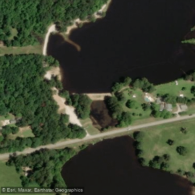
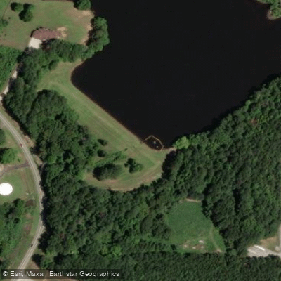
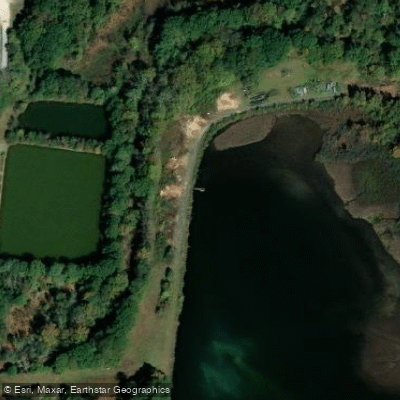
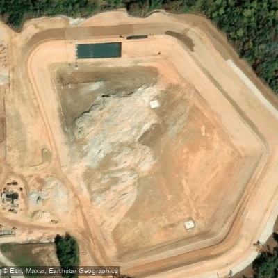
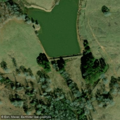
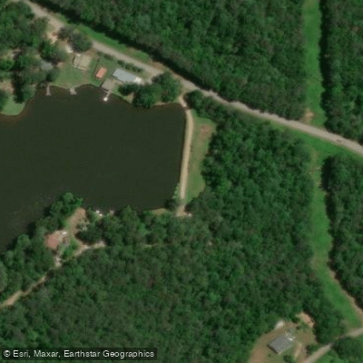
Learn how to get on Little Tallapoosa River. Uncover great paddling access points, boat ramps, and all the facilities you need for an unforgettable day on the water. Some locations shown may border or include private property. Always check property boundaries and applicable regulations before visiting. PaddleWays's Public & Private Land layer can help you plan your access with confidence.
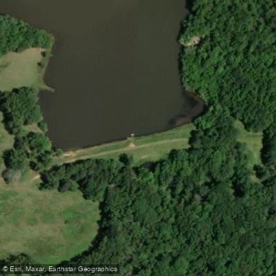
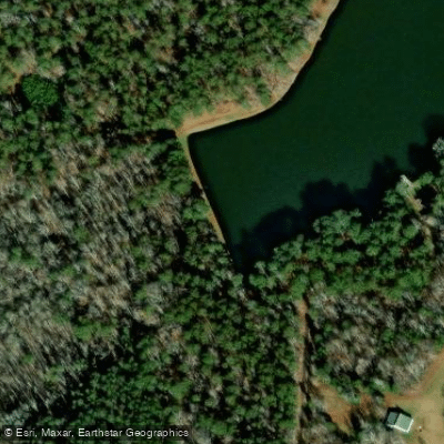
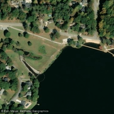
Paddle smarter with real-time insights
Whether you're en route and conditions shift or you're looking for the best spot based on current flows, we enable you to make informed decisions on the fly.








Find Places to Paddle

Over 400,000 Places to Paddle
Every user gets free access to launch points, boat ramps, and public property parcels.


Water and weather conditions (10 day forecast)
See the best times to paddle Little Tallapoosa River and check the forecast before you go.
LITTLE TALLAPOOSA RIVER NEAR NEWELL AL
All Flow Stations
Paddling near Little Tallapoosa River

Chattahoochee River
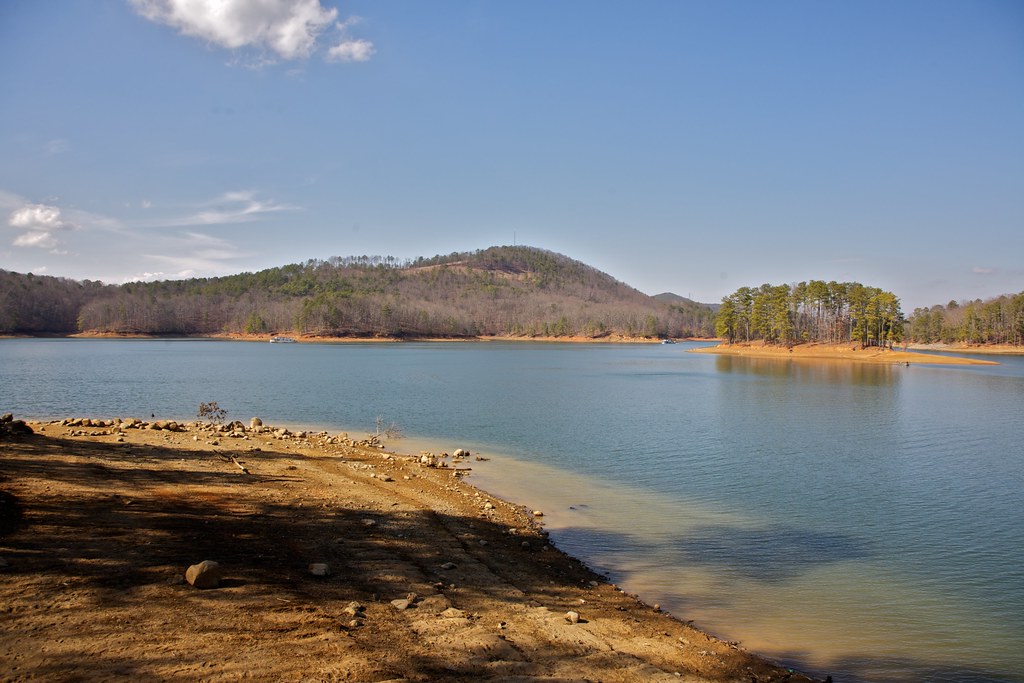
Allatoona Lake

Flint River
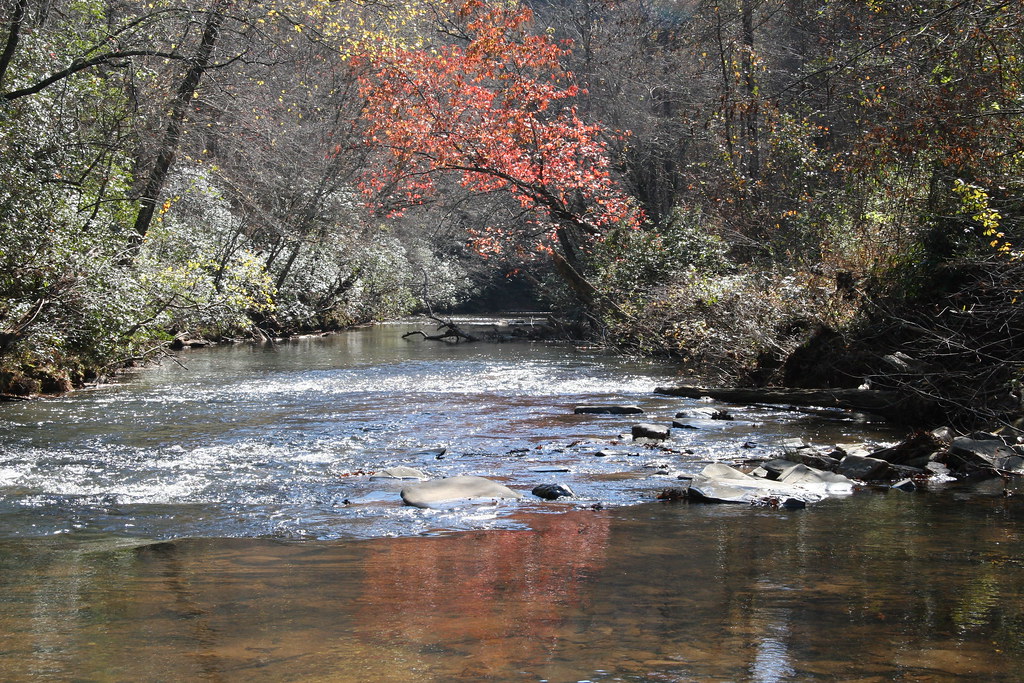
Etowah River
Lake Carroll
West Point Lake
Tallapoosa River
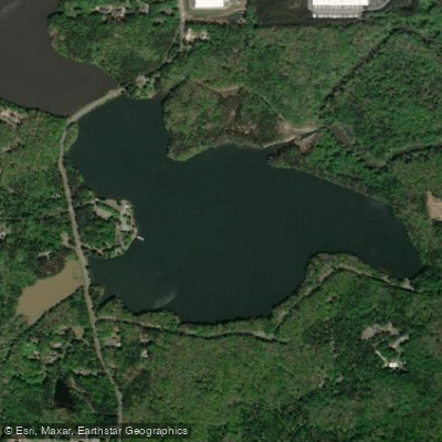
George H Sparks Reservoir
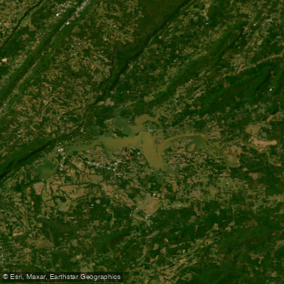
Weiss Lake
Explore Alabama waters
Top paddling waters
Popular Cities
Loading popular cities...
Explore near Little Tallapoosa River
Access points
- Little Tallapoosa River Bridge
- Little Tallapoosa River Bridge
- Little Tallapoosa River Bridge
- Little Tallapoosa River Bridge
- Little Tallapoosa River Bridge
- Little Tallapoosa River Bridge
- Little Tallapoosa River Bridge
- Little Tallapoosa River Bridge
- Little Tallapoosa River Bridge
- Little Tallapoosa River Bridge
- Wedowee Creek Bridge
- Little Tall River Bridge
- All 115 spots
Nearby waters
More in Alabama

Smarter Paddling Starts in the App.
Paddleways gives you everything you need to plan smarter, paddle better, and own every trip from first launch to takeout.