Lake Carroll
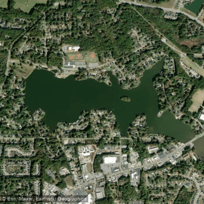
Lake Carroll
- Boat Ramps
- 1
- Access Points
- 1
- Campsites
- 0
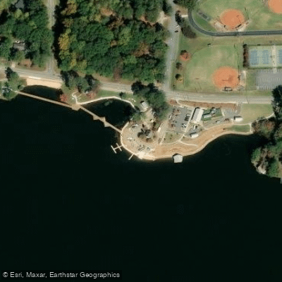
Lake Carroll is a 162-acre body of water located in Carrollton, Georgia. The lake offers opportunities for kayaking and paddling, with a designated access point located at coordinates 33.59728600, -85.06070100. The access area features several amenities including a boat ramp, free parking, picnic shelters, picnic tables, and restroom facilities. The site is wheelchair accessible.
Paddlers should be aware that alligators have been occasionally spotted in the lake, making proper safety precautions essential. The lake is stocked with bass, bream, and catfish, which can provide interesting wildlife viewing opportunities during paddling outings. Additional wildlife around the lake includes turtles, raccoons, opossums, rabbits, and squirrels.
The lake maintains a relatively developed character, though some natural vegetation has been removed from certain areas. Paddlers can explore approximately 22 miles of shoreline, with various coves and inlets providing interesting areas to investigate. The lake's size makes it manageable for day trips while still offering enough variety to keep experiences interesting.
Local regulations permit various types of watercraft on the lake, including kayaks and paddleboards. The lake is situated at 214 South Lakeshore Drive in Carrollton, making it easily accessible for paddlers in the area. Before planning a trip, visitors should note that this is a private lake, which may affect access requirements.
Water access, boat ramps & amenities
Learn how to get on Lake Carroll. Uncover great paddling access points, boat ramps, and all the facilities you need for an unforgettable day on the water. Some locations shown may border or include private property. Always check property boundaries and applicable regulations before visiting. PaddleWays's Public & Private Land layer can help you plan your access with confidence.
Paddle smarter with real-time insights
Whether you're en route and conditions shift or you're looking for the best spot based on current flows, we enable you to make informed decisions on the fly.








Find Places to Paddle

Over 400,000 Places to Paddle
Every user gets free access to launch points, boat ramps, and public property parcels.


Water and weather conditions (10 day forecast)
See the best times to paddle Lake Carroll and check the forecast before you go.
No forecast data available.
Paddling near Lake Carroll

Chattahoochee River
Allatoona Lake

Flint River
Etowah River
West Point Lake
Tallapoosa River
George H Sparks Reservoir
Weiss Lake
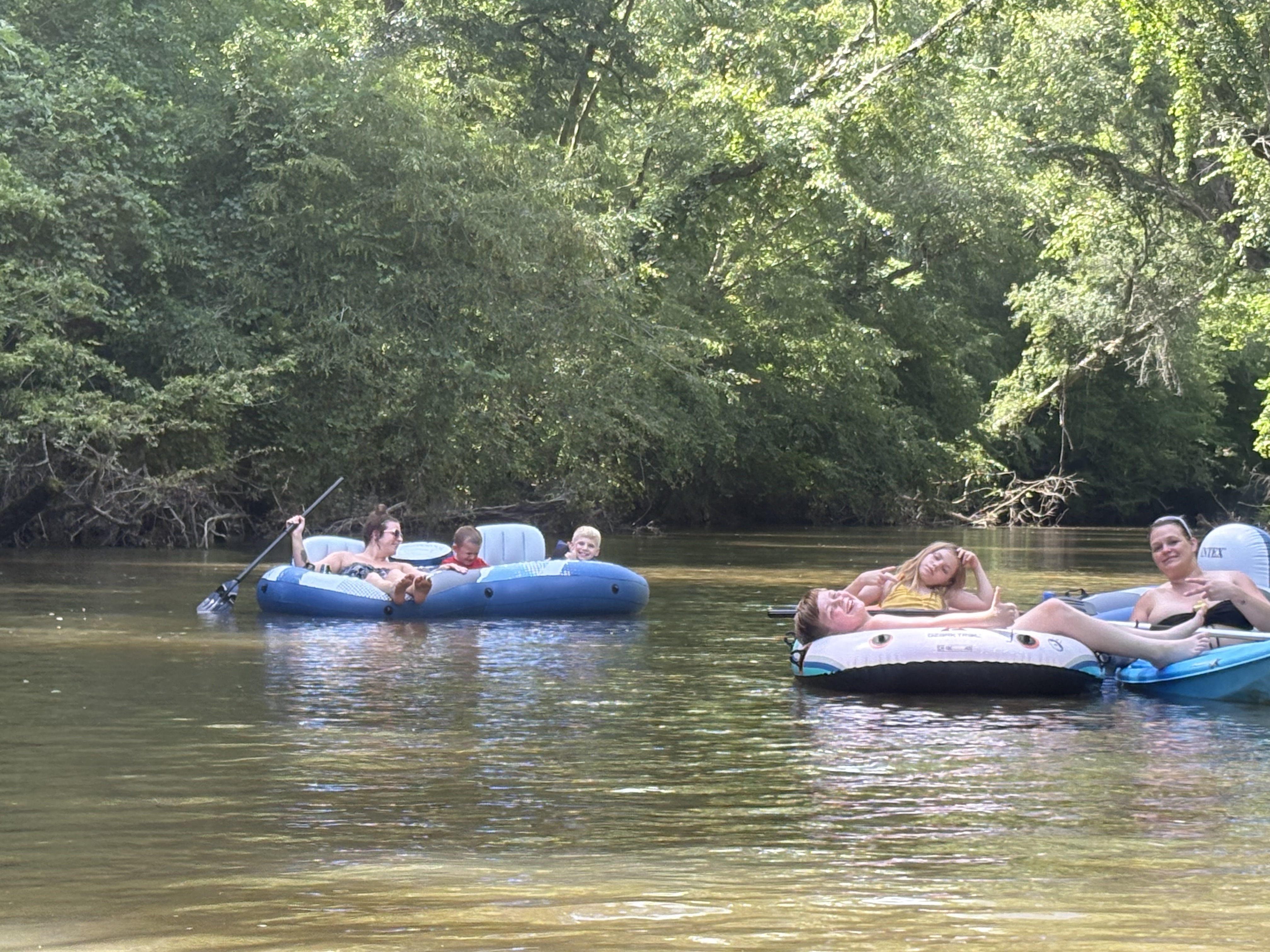
Little Tallapoosa River
Explore Georgia waters
Top paddling waters
Popular Cities
Loading popular cities...
Explore near Lake Carroll
Access points
- Lake Carroll Boat Ramp
- Curtis Creek Bridge
- Curtis Creek Bridge
- Buffalo Creek Bridge
- Little Tallapoosa River Bridge
- Little Tallapoosa River Bridge
- Little Tallapoosa River Bridge
- Little Tallapoosa River Bridge
- Buffalo Creek Bridge
- Buffalo Creek Bridge
- Little Tallapoosa River Bridge
- Hendricks Creek Bridge
- All 26 spots
Nearby waters
More in Georgia

Smarter Paddling Starts in the App.
Paddleways gives you everything you need to plan smarter, paddle better, and own every trip from first launch to takeout.