Chickasawhay River
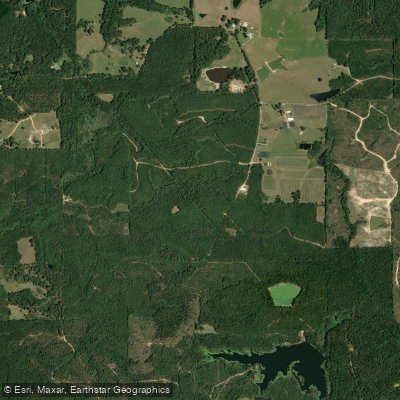
Chickasawhay River
- Boat Ramps
- 9
- Access Points
- 10
- Campsites
- 7
The Chickasawhay River is a scenic waterway flowing through southeastern Mississippi. Originating in Clarke County, it runs southward for approximately 160 miles before joining the Leaf River to form the Pascagoula River. The river drains a significant portion of the Pascagoula River Basin, one of Mississippi's major watersheds.
Paddling opportunities on the Chickasawhay are plentiful and varied, with several popular sections catering to different skill levels. The river's difficulty ranges from Class I to II, making it suitable for beginners and intermediate paddlers alike. Most sections feature a mix of peaceful floating and mild current, with occasional small rapids providing gentle challenges.
The Enterprise to Waynesboro stretch is a favorite among paddlers, offering a multi-day adventure of around 30 miles. This section provides a serene environment with good fishing opportunities and minimal human contact. For those seeking shorter trips, the Enterprise to Stonewall run covers 3.5 miles of consistent, calm water. One of the most popular sections is the 23.8-mile journey from Old Avera Boat Ramp to Leakesville Boat Ramp, typically taking 8-10 hours to complete. This stretch is ideal for day trips or overnight camping adventures on the river's numerous sandbars.
The river hosts the annual Great Chickasawhay Race, a 22.3-mile paddling event from Shubuta to Waynesboro, showcasing the river's recreational importance to the region. Seasonal patterns make spring and fall the optimal times for paddling, when water levels are generally favorable and temperatures are mild. Summer can be enjoyable but requires attention to heat and hydration.
The Chickasawhay's ecosystem supports diverse wildlife, offering paddlers opportunities to spot various river inhabitants and enjoy the undisturbed natural surroundings. The river's course takes paddlers through scenic Mississippi countryside, past historic sites like the Shubuta Cemetery, and through areas rich in local history.
Key access points include boat ramps at Enterprise, Stonewall, Quitman, Shubuta, Waynesboro, and Leakesville, providing multiple options for trip planning. These access points are conveniently located near small towns, facilitating logistics for paddlers.
Safety considerations include being aware of water levels, which can fluctuate seasonally, and preparing for multi-hour journeys with appropriate supplies. Local outfitters offer canoe and kayak rentals, making the river accessible to visitors without their own equipment.
The Chickasawhay River offers a perfect blend of natural beauty, mild paddling challenges, and rich local history, making it a prime destination for paddlers looking to explore the waterways of southeastern Mississippi.
Water access, boat ramps & amenities
Learn how to get on Chickasawhay River. Uncover great paddling access points, boat ramps, and all the facilities you need for an unforgettable day on the water. Some locations shown may border or include private property. Always check property boundaries and applicable regulations before visiting. PaddleWays's Public & Private Land layer can help you plan your access with confidence.
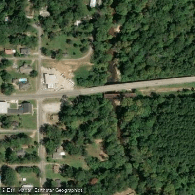
Paddle smarter with real-time insights
Whether you're en route and conditions shift or you're looking for the best spot based on current flows, we enable you to make informed decisions on the fly.








Find Places to Paddle

Over 400,000 Places to Paddle
Every user gets free access to launch points, boat ramps, and public property parcels.


Water and weather conditions (10 day forecast)
See the best times to paddle Chickasawhay River and check the forecast before you go.
CHICKASAWHAY RIVER AT QUITMAN, MS
All Flow Stations
Paddling near Chickasawhay River

Pearl River

Pascagoula River
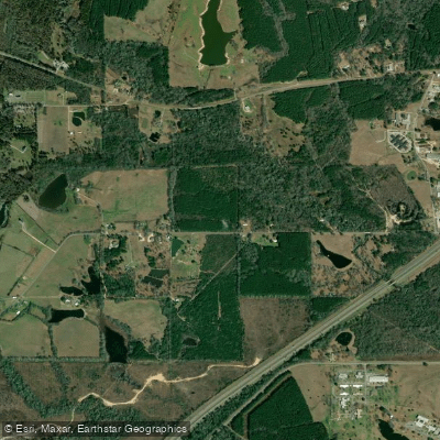
Leaf River
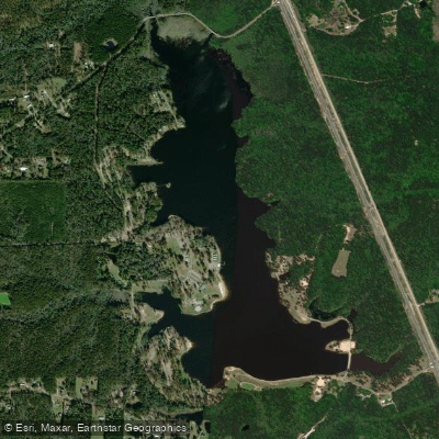
Geiger Lake
Black Creek
Bouie River
Lake Bill Waller
Tallahala Creek
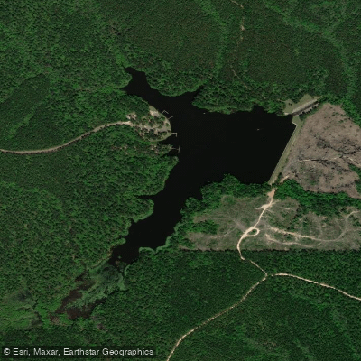
Lake Perry
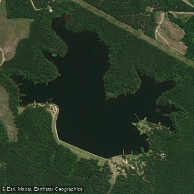
Lake Mike Connor
Explore Mississippi waters
Top paddling waters
Popular Cities
Loading popular cities...
Explore near Chickasawhay River
Access points
Nearby waters
More in Mississippi

Smarter Paddling Starts in the App.
Paddleways gives you everything you need to plan smarter, paddle better, and own every trip from first launch to takeout.